Rocky Mountain National Park and the divide road
Published on 09/09/2026 at 18:22 | Editorial responsibility: Rafael Müller, Editor-in-Chief AD HOC NEWS
Rocky Mountain National Park rises in north-central Colorado, with Estes Park on its east side and Grand Lake on the west. The park was established in 1915, and its high country is crossed by the Continental Divide.
Trail Ridge Road and the park’s high country
Trail Ridge Road is the park’s defining line of movement, running between Estes Park and Grand Lake across the mountains. It reaches 12,183 feet (3,713 m) and passes above treeline for part of its route.
The road gives access to alpine tundra, where low vegetation spreads across exposed ground. Longs Peak, the park’s highest point, rises to 14,259 feet (4,346 m), and the elevation range within the park is strikingly broad.
Rocky Mountain National Park in Colorado’s range
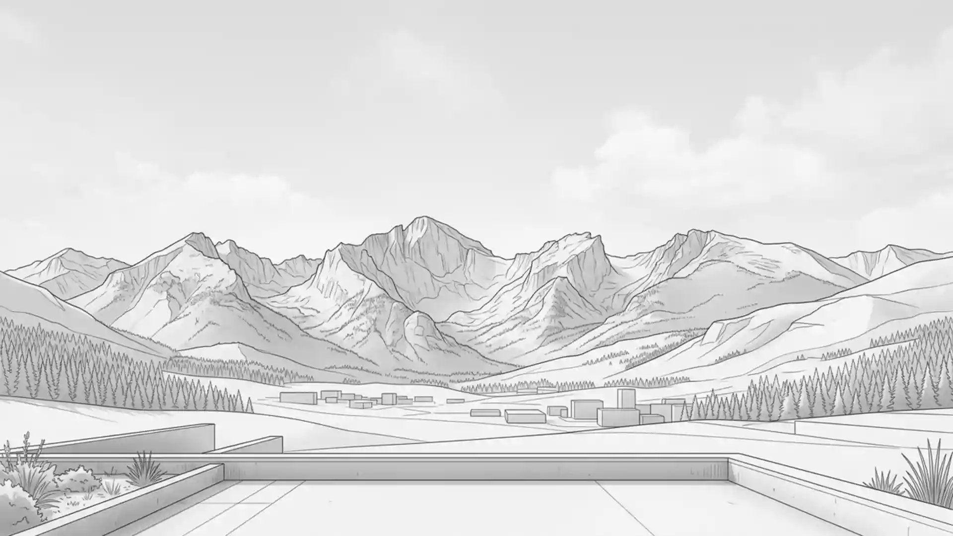
The park sits in the Front Range of the Southern Rocky Mountains, where valleys, ridges and high passes sit close together. Its landscape includes granite peaks, glacially shaped basins and forested slopes below the tundra line.
Rocky Mountain National Park was established on 26 January 1915, after years of public campaigning led by Enos Mills. The park’s early history is tied to the broader conservation movement that protected large mountain landscapes in the American West.
Longs Peak, valleys and mountain weather
Longs Peak dominates the northern skyline of the park and is a landmark for hikers and drivers alike. The surrounding valleys, especially around Estes Park, offer a lower starting point before the ascent into alpine terrain.
Snow remains a feature of the high country for much of the year, and the road over the divide sits far above the tree line. The contrast between wooded lower slopes and open tundra is one of the park’s clearest visual patterns.
Visiting Rocky Mountain National Park: what travellers from Western Europe should know
- The park lies in Colorado, west of the city of Denver and beside Estes Park. Road access is the main approach, with Trail Ridge Road crossing the interior from east to west.
- High elevation is the main terrain factor. The road reaches alpine country above treeline, and Longs Peak rises to 14,259 feet (4,346 m).
- Trail Ridge Road crosses the Continental Divide at Milner Pass. That makes the divide visible as a named feature rather than an abstract line on a map.
- Entry requirements depend on your nationality; UK travellers can check the FCDO travel advice at gov.uk/foreign-travel-advice, Irish travellers the Department of Foreign Affairs at ireland.ie.
Searching for Rocky Mountain National Park on social platforms
These links open searches for Rocky Mountain National Park on each platform.
Frequently asked questions about Rocky Mountain National Park
Where is Rocky Mountain National Park?
It lies in northern Colorado, with Estes Park on the east and Grand Lake on the west. The park sits in the Southern Rocky Mountains.
What does a visit involve?
The park centres on high mountain scenery, alpine roads and steep changes in elevation. Trail Ridge Road links lower valleys with the tundra above treeline.
What makes the park distinctive?
The combination of Longs Peak, the Continental Divide and Trail Ridge Road gives the park a strong geographic identity. The shift from forest to alpine tundra is visible across the mountain landscape.