
Rock Islands in Koror and their limestone forms
Published on 09/12/2026 at 16:32 | Editorial responsibility: Rafael Müller, Editor-in-Chief AD HOC NEWS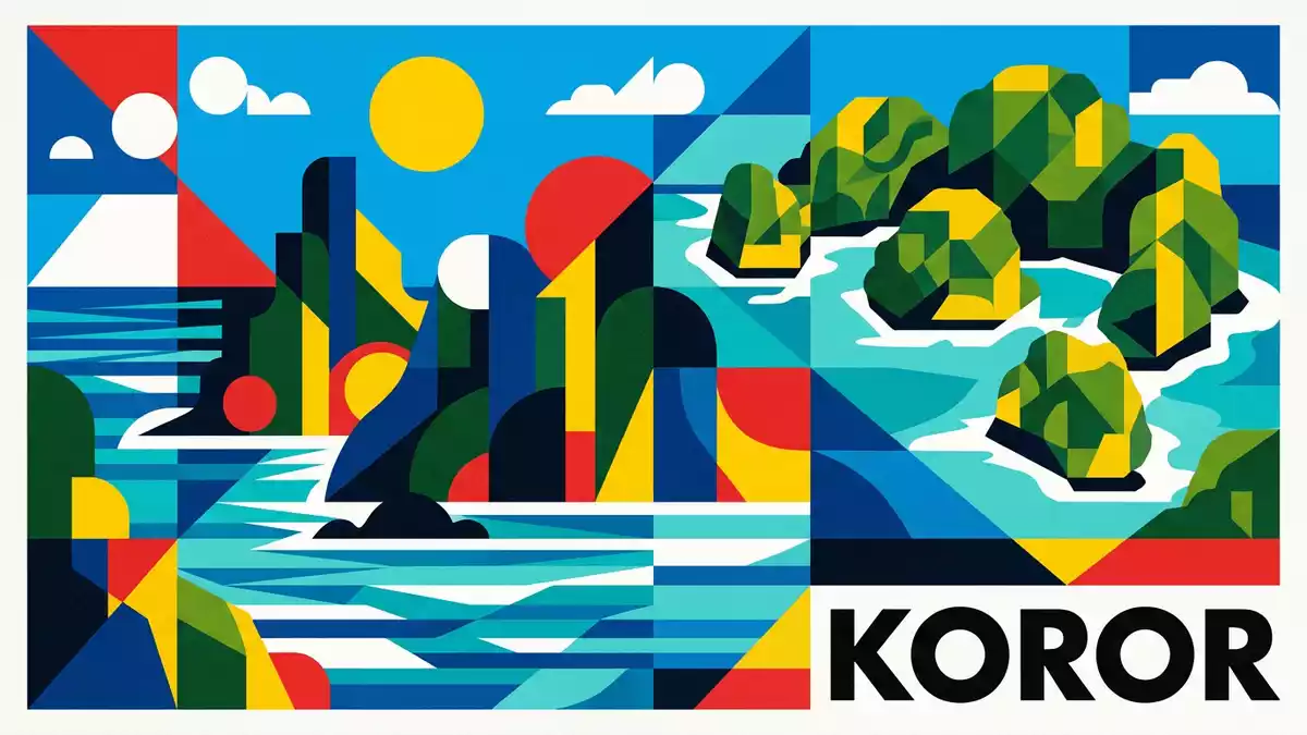
Rock Islands in Koror form a scatter of limestone islets inside a sheltered lagoon, with reef water, forested slopes and dark openings in the rock. The World Heritage property carries the formal name Rock Islands Southern Lagoon and sits in Koror State.
Koror State’s limestone archipelago
The islands belong to a marine landscape of limestone ridges and enclosed water. UNESCO records the property as covering 100,200 ha and including 445 uninhabited islands.
The setting lies just south of Babeldaob, Palau’s main volcanic island, and within Koror State. Another official document places the nominated property in Koror State and names the southern lagoon as the location.
Reef, cave and water in one landscape
The Rock Islands combine raised limestone with marine water, coral reef margins and small inlets. The result is a broken skyline of rounded and steep forms, with pockets of dense vegetation across the rock.
UNESCO notes archaeological remains and rock art on several islands, including Ulong and Ngemelis. The same listing describes the property as a marine landscape of reef-enclosed lagoon and limestone islands.
Palau’s southern lagoon in context
The islands are part of Palau’s wider western Pacific archipelago, but their form is distinct from the neighbouring volcanic islands. A Koror State guide describes them as carbonate fossil islands formed during the Miocene era.
That geological background explains the mix of limestone cliffs, reef flats and sheltered water that define the place. For travellers, the Rock Islands are read as a landscape of rock, lagoon and reef, not as a single viewpoint.
Visiting Rock Islands: what travellers from Western Europe should know
- The islands lie south of Koror and are reached by boat from the state’s harbour area. The place is part of Koror State, in Palau.
- The terrain is marine and rocky, with limestone islets, reef water and caves. Landings vary by island and the rock surfaces are uneven.
- The official language is English and the currency is the United States dollar.
- Conditions on the water change with the seasons; local operators and marine guides provide information.
Searching for Rock Islands on social platforms
These links open searches for Rock Islands on each platform.
Frequently asked questions about Rock Islands
Where are the Rock Islands?
They lie in Koror State, south of Babeldaob in Palau. The formal UNESCO listing names the property Rock Islands Southern Lagoon.
What does a visit involve?
Boat travel across the lagoon and short stops near limestone islets are part of the setting. The terrain includes rock surfaces, reef water and caves.
What makes the Rock Islands distinctive?
Their shape comes from limestone islands spread through a reef-enclosed lagoon. The World Heritage listing also links them with marine and cultural features.


