
River Walk’s layered paths through San Antonio
Published on 08/29/2026 at 22:41 | Editorial responsibility: Rafael Müller, Editor-in-Chief AD HOC NEWS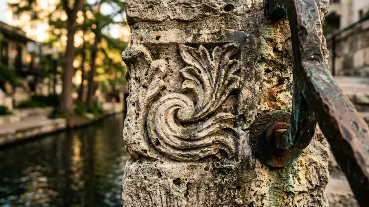
River Walk in San Antonio is a layered riverside promenade shaped by bridges, terraces and stone retaining walls. Robert H. Hugman’s 1929 plan and the 1941 completion date place it firmly in the city’s civic history, while the route itself remains the main attraction of the landscape.Robert H. Hugman’s 1929 plan1941 completion date
Stone, water and footbridges
The River Walk runs beside the San Antonio River through the downtown core, with paths below street level and crossings that step between banks. Native sand-coloured rock appears throughout the walk, giving the edges a unified look that ties together the planted reaches and the built sections.native sand-coloured rock
Its multilevel form is part of its character, with stairs, bridges and narrow stretches set against the river channel. The place feels like a public corridor as much as a waterside park, and that double identity has shaped how it sits within the city.public corridor
From civic project to urban landscape
The River Walk grew from early twentieth-century flood-control thinking and was later taken up as a civic landscape. The city’s plans, Hugman’s proposal and Works Progress Administration work all belong to that same development story, which left the river edge with a distinctive built form.Works Progress Administration work
Its history is visible in the way engineering and public space meet along the river. That mix includes planted banks, bridges and walkways that sit close to the water and remain part of the downtown fabric.planted banks
Along the river edge today
What makes River Walk memorable is its continuous path along the water, broken by steps, bridges and changes in level. It is both a riverfront route and a landscaped civic space, with the built edge never far from the current.
The river frontage also connects to wider parts of the city, including the historic downtown and the Mission Reach extension. San Antonio’s river landscape gives the walk a clear urban setting rather than a detached parkland character.Mission Reach extension
Visiting River Walk: what travellers from Western Europe should know
- River Walk lies in downtown San Antonio, beside the San Antonio River. It is reached on foot from central streets and by crossing the river on its bridges.
- The route includes steps, changes in level and narrow passages beside the water. The built edge is closest to the river in the lower sections.
- The official language is English and the currency is the United States dollar.
- Mission Reach extends the river landscape southwards and links the walk to the mission corridor. The downtown section remains the most compact part of the system.
Searching for River Walk on social platforms
These links open searches for River Walk on each platform.
Frequently asked questions about River Walk
Where is River Walk?
It runs through downtown San Antonio along the San Antonio River. The walk sits below street level in places and crosses between the riverbanks on footbridges.
What does a visit involve?
The route combines walking paths, steps and bridges with planted edges beside the water. It reads as an urban promenade rather than a single enclosed site.
What makes River Walk distinctive?
Its layered form and continuous riverside path distinguish it from a simple riverbank path. The presence of stonework, planting and changes in level gives it a clear civic character.


