River Walk in San Antonio: a city built around its river
Published on 09/01/2026 at 17:23 | Editorial responsibility: Rafael Müller, Editor-in-Chief AD HOC NEWS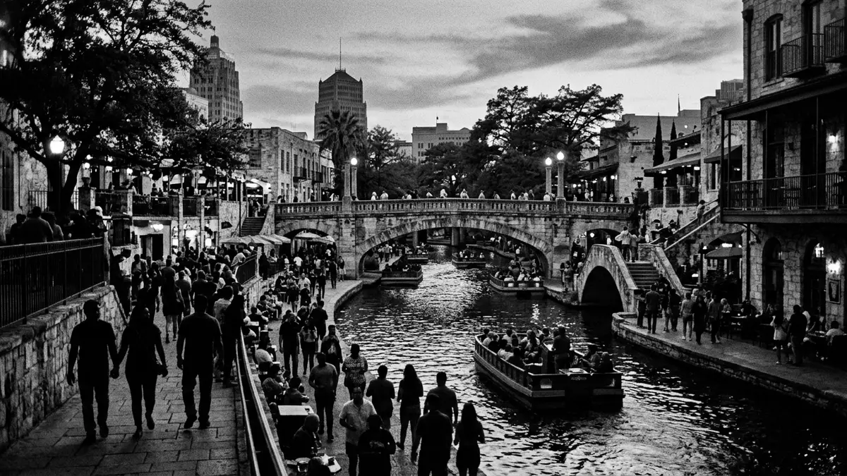
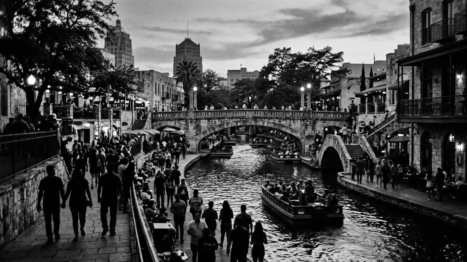
River Walk in San Antonio is a landscaped network of pedestrian paths, bridges and riverside spaces that follows the San Antonio River through the city’s historic core. It grew from a twentieth-century flood-control project into a central urban landscape where stone-lined banks, mature trees and low-level walkways sit below street level and give the river a distinct second life within downtown.
A river bend reshaped into a lower-level city
The section of River Walk most associated with downtown San Antonio curves through a pronounced bend in the San Antonio River, with paths that keep close to the water and step down from street level via staircases and ramps. Along this bend, the river channel is contained by worked masonry walls, creating a defined corridor where the water, planting and built structures form a continuous composition.Masonry-lined banks and landscaped walks run on both sides, giving the impression of a sunken avenue that visitors move through on foot.
The modern River Walk dates to work undertaken between 1939 and 1941, when funding from the Works Progress Administration enabled construction of several kilometres of pathways, bridges and river engineering along the downtown stretch.WPA-backed construction between 1939 and 1941 turned an often-flooded bend into a managed channel with defined banks, while at the same time creating space for plantings and pedestrian movement at river level. The result is a layered cityscape in which traffic runs above, while below the water and walkways offer a slower, more enclosed environment.
From flood hazard to designed landscape
The shaping of River Walk is closely tied to a severe flood of the San Antonio River in September 1921, which caused extensive damage and loss of life in the city centre. In the years that followed, civic authorities considered enclosing the dangerous bend in concrete and converting it into a storm sewer, a plan that would have erased the river from the downtown surface.Proposals to turn the bend into a storm sewer brought the future of the waterway into question.
Opposition to this plan came from local citizens, notably the San Antonio Conservation Society, and from architect Robert H. H. Hugman, who advocated treating the river as a public space rather than hiding it underground.Hugman’s proposal for a public park along the river set out a vision of winding walkways, staircases and bridges flanking the natural riverbed. The eventual River Walk retains this idea: stone steps lead down from cross streets, low bridges frame views along the water, and planting softens the engineered edges, turning what had been a hazard into a designed landscape embedded in the city.
Extending the river corridor beyond downtown
While the initial construction concentrated on the downtown bend, later decades saw River Walk extended both north and south along the San Antonio River. New sections link the historic core to other parts of the city, including cultural institutions, former industrial stretches and mission sites further downstream.Extensions completed in the early twenty-first century created continuous walking and cycling routes along many kilometres of the river, turning River Walk from a single downtown attraction into an elongated urban corridor.
Along these newer reaches, the design shifts from the more compact, canal-like character of the bend to broader banks with restored wetlands, public art and landscaped parks.Museum Reach and Mission Reach projects added features such as native planting, sculptural installations and improved river habitat, but the organising idea remains consistent: the San Antonio River is framed as a central thread of the city, accessible on foot and visually present over a long distance.
Visiting River Walk: what travellers from Western Europe should know
- River Walk follows the San Antonio River through central San Antonio, with the most compact section running below street level around the downtown bend. Access points include staircases and ramps from streets such as Commerce Street and Market Street.
- The walkways at river level are generally paved and relatively narrow in places, with steps between different levels and occasional staircases leading to bridges and street access.
- Further north, the Museum Reach section of River Walk links downtown to cultural sites along the river corridor, while to the south the Mission Reach connects towards the historic San Antonio missions.
- The official language is English and the currency is the United States dollar.
Searching for River Walk on social platforms
These links open searches for River Walk on each platform.
Frequently asked questions about River Walk
Where is River Walk in San Antonio located?
River Walk runs along the San Antonio River through central San Antonio in Texas, with its best-known section in the downtown bend below street level.
What can visitors expect on a walk along the river?
Visitors encounter paved paths close to the water, stone-lined banks, staircases from street level, bridges crossing the channel and stretches of planting and mature trees.
What makes River Walk distinctive among urban riverfronts?
The combination of a sunken riverside level, extensive WPA-era stonework, Robert H. H. Hugman’s early-twentieth-century design influence and later landscape extensions give River Walk a layered character.