
Railay Beach’s limestone peninsula in Krabi
Published on 09/15/2026 at 13:22 | Editorial responsibility: Rafael Müller, Editor-in-Chief AD HOC NEWS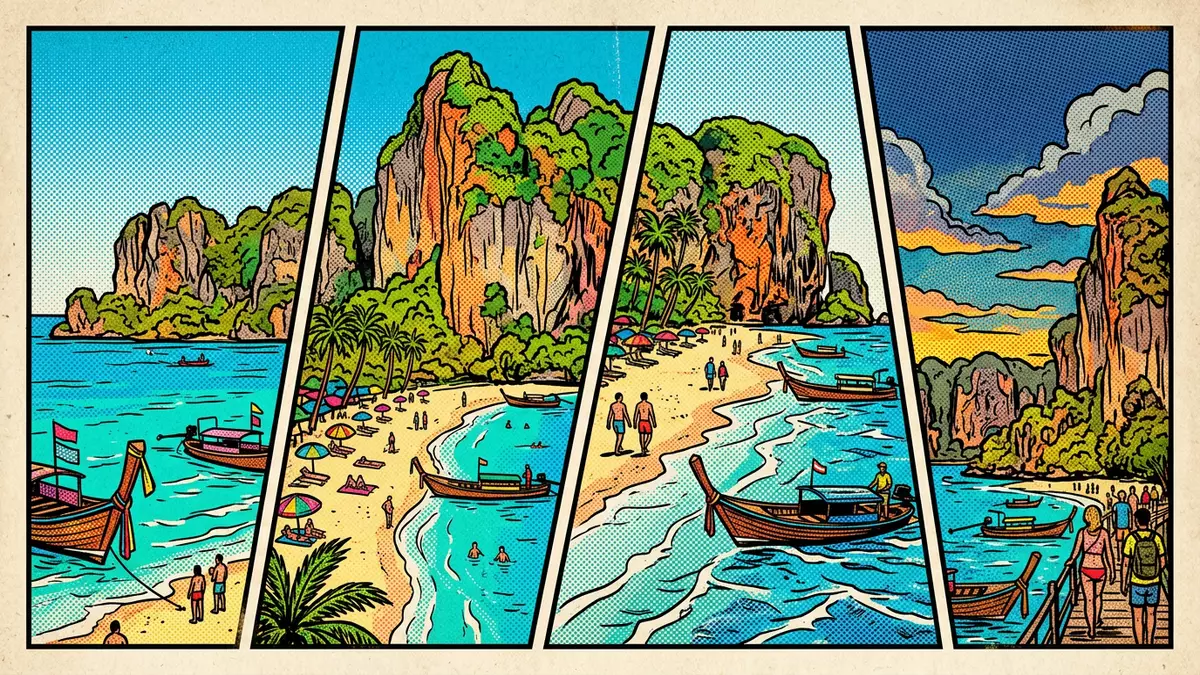
Railay Beach in Krabi, Thailand is a compact limestone peninsula cut off from road access, where towering cliffs rise directly above sheltered beaches on the Andaman Sea.
Limestone walls enclosing a small peninsula
Railay Beach occupies a small headland between Krabi Town and Ao Nang, enclosed by high limestone formations that separate it from the rest of the mainland. The peninsula forms part of Laem Phra Nang, with the land narrowing between the cliffs and the sea so that the beaches, paths and accommodation sit together on a limited area of ground.small peninsula between Krabi and Ao Nang These cliffs block any direct road connection, which defines how visitors arrive and how the settlement on the peninsula has developed over time.beaches only accessible by boat
The rock itself belongs to the limestone karst that characterises much of Krabi’s coastline, weathered into steep faces, overhangs and pinnacles. On Railay this geology creates a dramatic backdrop above the water and provides the terrain that has made the area a centre for sport climbing. The peninsula remains compact enough to cross on foot, so the cliffs, inland paths and sea views remain close together on any walk.
Four distinct beaches linked by footpaths
Although visitors often speak of Railay Beach as a single place, the peninsula holds four distinct beach areas connected by short footpaths. To the west lies Railay West, a broad stretch of sand facing the open Andaman Sea, where longtail boats from Ao Nang commonly land and where swimming and sea views shape the beach experience.Railay West as the main sunset beach Inland paths and resort grounds sit just behind the sand, with limestone walls closing the view inland.
On the eastern side lies Railay East, where mangroves line the shore and the foreshore turns to mud at low tide, so the water’s edge looks markedly different from the swimming beaches on the west.Railay East as a mangrove mudflat A short walk south from Railay East leads to Phra Nang Cave Beach, a sheltered cove framed by cliffs and an overhanging headland, with a small cave shrine at one end and clear water in front. To the north of Railay West, paths and a route across the rocks connect to Tonsai Beach, where the bay is narrower and the cliffs rise close to the shore. Together, these four beaches give the compact peninsula distinct atmospheres within walking distance of each other.
Boat access and climbing on the cliffs
Because steep cliffs seal Railay off from the mainland, arrivals end with a boat crossing rather than a road journey. Travellers usually board a longtail boat from Ao Nang Beach, crossing the bay to land in the shallows of Railay West, or take longer boat routes from piers near Krabi Town that arrive on the Railay East side.accessible only by longtail boat Once on the peninsula, movement takes place on foot along paved paths, sandy tracks and short rocky sections, with no vehicles operating within the settlement.no vehicles on the peninsula
The same limestone walls that cut Railay off by land have been equipped over the years with fixed climbing routes, turning the area into an established destination for rock climbers. Routes of varying difficulty run up faces and overhangs above Railay West, Tonsai and Phra Nang, and dedicated climbing schools and guides operate on the peninsula.sport climbing routes on limestone karsts For non-climbers, short walks under the cliffs and sections where stalactites hang down above the paths give a clear sense of the terrain that has made climbing central to Railay’s identity.
Visiting Railay Beach: what travellers from Western Europe should know
- Railay Beach lies between Ao Nang and Krabi Town on the Andaman Sea coast, reached by longtail boat from Ao Nang Beach or piers near Krabi Town.
- The peninsula has no road access and no vehicles; getting around involves walking on sandy paths, paved walkways and some uneven rocky sections between beaches.
- Railay West offers a wide sand beach suitable for swimming, while Railay East has mangroves and a mudflat foreshore that can be soft underfoot at low tide.
- Phra Nang Cave Beach is accessed by a short footpath around the headland from Railay East, with a cave shrine area at the end of the beach.
- The official language is Thai and the currency is the baht; entry requirements depend on your nationality, UK travellers can check the FCDO travel advice at gov.uk/foreign-travel-advice, Irish travellers the Department of Foreign Affairs at ireland.ie.
Searching for Railay Beach on social platforms
These links open searches for Railay Beach on each platform.
Frequently asked questions about Railay Beach
Where is Railay Beach in Krabi?
Railay Beach sits on a small limestone peninsula between Ao Nang and Krabi Town on Thailand’s Andaman Sea coast, forming part of the Laem Phra Nang headland.
What should visitors expect on a first visit?
Visitors find boat-only access, walking paths instead of roads, four distinct beaches and limestone cliffs rising close to the shoreline, with swimming, walking and climbing all centred on a compact area.
What makes Railay Beach distinctive compared with other Thai beaches?
Railay Beach combines a roadless limestone peninsula, boat arrivals, mangrove and sand beaches, and equipped sport-climbing cliffs, all within walking distance of one another.


