
Quebrada de Humahuaca’s painted valley landscapes
Published on 08/27/2026 at 11:32 | Editorial responsibility: Rafael Müller, Editor-in-Chief AD HOC NEWS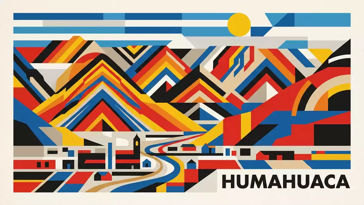
Quebrada de Humahuaca stretches as a long, high Andean valley in Argentina’s Jujuy Province, its rock faces banded with reds, greens and ochres that frame a historic route linking the altiplano and the subtropical lowlands.The Quebrada de Humahuaca runs roughly north to south along the Rio Grande de Jujuy, and in 2003 it was inscribed as a UNESCO World Heritage Site as a cultural landscape.
Layered rock and a high Andean corridor
The valley extends for about 155 km (96 mi), forming a narrow corridor between the high plateau of the Puna to the west and the lower ranges and warm valleys to the east.The UNESCO description traces this corridor from the high Andean lands to the confluence of the Rio Grande with the Rio León, emphasising its continuous north–south alignment. Rock walls rise in jagged ridges, their exposed strata creating bands of colour that shift with light and distance along the valley.
The Quebrada lies in the Eastern Cordillera, and its arid climate, with sparse vegetation dominated by cacti, underlines the starkness of the terrain.Geographical descriptions note that the riverbed can be largely dry in some seasons, with water swelling in others, cutting into the valley floor and leaving terraces and fans of sediment. Approaching Humahuaca itself, the valley floor rises and settlements sit between steep slopes and the meandering course of the Rio Grande de Jujuy.
A cultural landscape shaped over millennia
Quebrada de Humahuaca is recognised by UNESCO as a cultural route because the valley follows the line of the Camino Inca, the Inca road that linked the high Andes with lower regions.The nomination file describes evidence of use as a trade corridor over some 10,000 years, with pre-Hispanic settlements and agricultural terraces still visible on the slopes. Later Andean and colonial routes continued to follow this same corridor, layering road alignments, villages and fields along the river.
The presence of pre-Inca and Inca remains, colonial churches and market towns within the same valley gives Quebrada de Humahuaca a dense concentration of historic structures within a single geographic frame.German-language accounts highlight how the valley floor hosts villages while slopes carry remnants of field systems and defensive sites. The World Heritage inscription in 2003 formalised this combination of archaeological sites, traditional farming plots and the long-distance route as a protected cultural landscape.
Humahuaca and the experience of the valley
The town of Humahuaca stands in the upper section of the valley, at an elevation that places it firmly in the high Andean environment, with thin air and clear light sharpening the outlines of surrounding ridges.Descriptions of the valley note that altitudes increase towards the north, in line with the course of the Rio Grande de Jujuy. Humahuaca’s streets climb gently from the river, with viewpoints offering broad prospects towards the coloured slopes that define the Quebrada’s character.
Further south along the valley, other towns and hamlets line the river, each framed by differently coloured formations and terraces that step up towards the plateau.Geological and cultural studies describe the Quebrada as a link between the Puna and the warmer Valles Templados, with road and rail alignments following the same corridor. Travellers moving along this route encounter shifts in altitude, vegetation and settlement pattern while the overarching frame of the valley remains constant.
Visiting Quebrada de Humahuaca: what travellers from Western Europe should know
- Quebrada de Humahuaca lies in northwest Argentina in Jujuy Province, extending north from near San Salvador de Jujuy towards the Bolivian border, with road connections running along the valley floor.
- The valley sits at high altitude, and towns such as Humahuaca lie well above sea level, so walking the streets and viewpoints involves gentle gradients but thinner air than many European cities.
- The terrain combines a riverbed with rocky slopes and terraces, and approaches to viewpoints or archaeological sites may involve unpaved paths and steps over uneven ground.
- The official language is Spanish and the currency is the Argentine peso. Entry requirements depend on your nationality; UK travellers can check the FCDO travel advice at gov.uk/foreign-travel-advice, Irish travellers the Department of Foreign Affairs at ireland.ie.
Searching for Quebrada de Humahuaca on social platforms
These links open searches for Quebrada de Humahuaca on each platform.
Frequently asked questions about Quebrada de Humahuaca
Where is Quebrada de Humahuaca?
Quebrada de Humahuaca is a long mountain valley in Jujuy Province in northwest Argentina, running north to south along the Rio Grande de Jujuy.
What should travellers expect on a visit?
Travellers encounter a high-altitude valley with coloured rock formations, Andean towns such as Humahuaca and visible traces of pre-Hispanic and colonial routes and settlements.
What makes Quebrada de Humahuaca distinctive?
The combination of striking multi-coloured rock strata, a continuous Andean corridor and layered archaeological and historic sites led to its inscription as a UNESCO World Heritage cultural landscape.


