
Qal'at al-Bahrain, layered harbour mound on Bahrain’s coast
Published on 09/16/2026 at 15:04 | Editorial responsibility: Rafael Müller, Editor-in-Chief AD HOC NEWS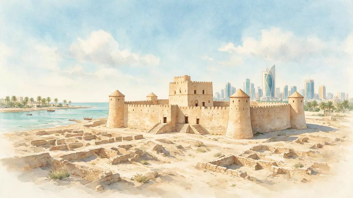
Qal'at al-Bahrain on the north coast of Bahrain Island near Manama brings together a substantial coastal fort and a broad archaeological mound that once held the capital of the ancient Dilmun civilisation. Recognised as a UNESCO World Heritage Site since 2005, it preserves visible traces of human settlement from the Bronze Age through later Islamic and Portuguese periods in one compact landscape.
A tell above the Gulf and the harbour of Dilmun
The core of Qal'at al-Bahrain is a large archaeological tell, an artificial hill created by successive layers of occupation, set directly beside the shore of the Gulf. The tell extends across an area of more than 16 hectares, forming a platform of settlement that rises above the surrounding palm groves and coastal plain.over 16 hectares Its position on Bahrain’s fertile north coast facing the sea reflects the site’s long-standing role as a harbour and trading centre.
The World Heritage inscription names the property “Qal'at al-Bahrain – Ancient Harbour and Capital of Dilmun”, underlining its association with the Bronze Age Dilmun civilisation that once controlled regional trade routes. The mound preserves fortifications and palatial structures from multiple periods, with archaeological evidence of continuous settlement from about 2300 BC to the 16th century AD.continuous human presence from about 2300 BC to the 16th century AD For visitors from Western Europe, the most striking impression is the way this history is condensed into a single hill beside the water.
Portuguese fort on the crown of the mound
Crowning the tell is a substantial fortification from the sixteenth century, built during the period when Portuguese forces controlled key points along Gulf maritime routes. The fort, sometimes referred to as a Portuguese fort, stands as the most prominent built structure on the site, with thick outer walls and projecting bastions forming a defensive rectangle above the excavated slopes.Portuguese fort
The Arabic name Qal'at al-Bahrain translates as “Fort of Bahrain”, and this upper fortress gives the site both its name and its most immediate silhouette against the sky. Paths lead up through the excavated archaeological zones to the fort’s interior, where open courtyards and preserved rooms reveal later phases of occupation layered over earlier Dilmun and Islamic levels. From the ramparts the views reach across palm groves towards Manama and out over the Gulf shipping lanes that once brought merchant traffic to the harbour.mound topped by a Portuguese fort
Landscape of sea tower, channel and palm groves
Qal'at al-Bahrain is not confined to the mound and fort alone; its World Heritage boundary also takes in elements of the surrounding maritime landscape. Out in the Gulf, a separate sea tower lies to the north-west of the tell, aligned with a narrow sea channel cut through the offshore reef.a sea tower and sea channel These structures relate to the ancient harbour functions that once linked Dilmun to trade routes running towards Mesopotamia and further east.
Between the mound and the shoreline, bands of palm groves form a green fringe that has long supported cultivation along Bahrain’s north coast.palm-groves The wider setting places Qal'at al-Bahrain in the Northern Governorate, in the Al Qalah and Karbabad area west of central Manama, where the archaeological site sits close to later urban districts such as Seef. Standing on the mound, visitors see the contrast between the layered remains of Dilmun and the modern skyline rising along Bahrain’s coast.
Visiting Qal'at al-Bahrain: what travellers from Western Europe should know
- Qal'at al-Bahrain lies on Bahrain’s northern coast in the Capital and Northern Governorates, a short distance north-west of central Manama, and can be reached by road from the city.
- The archaeological tell forms an uneven terrain, with paths climbing over excavated areas and access to the fort involving a walk up sloping ground and stairways inside the walls.
- The site sits beside cultivated palm groves and the shore, so outdoor conditions include exposure to sun and coastal breezes across the open mound and fort.
- The official language is Arabic and the currency is the Bahraini dinar.
- Entry requirements depend on your nationality; UK travellers can check the FCDO travel advice at gov.uk/foreign-travel-advice, Irish travellers the Department of Foreign Affairs at ireland.ie.
Searching for Qal'at al-Bahrain on social platforms
These links open searches for Qal'at al-Bahrain on each platform.
Frequently asked questions about Qal'at al-Bahrain
Where is Qal'at al-Bahrain located?
Qal'at al-Bahrain stands on the northern coast of Bahrain Island in the Al Qalah and Karbabad area west of Manama, within the Capital and Northern Governorates.
What can visitors expect when exploring the site?
Visitors encounter a broad archaeological mound with excavated remains, a prominent sixteenth-century fort on its crown, surrounding palm groves and views towards the Gulf and Manama’s modern districts.
What makes Qal'at al-Bahrain distinctive among Gulf heritage sites?
Qal'at al-Bahrain combines a substantial Portuguese-era fort with a deeply stratified tell that preserves successive settlement layers from the Bronze Age Dilmun civilisation through Islamic and later periods in one coastal setting.


