
Punta Cana and the long arc of a Caribbean coast
Published on 09/18/2026 at 18:25 | Editorial responsibility: Rafael Müller, Editor-in-Chief AD HOC NEWS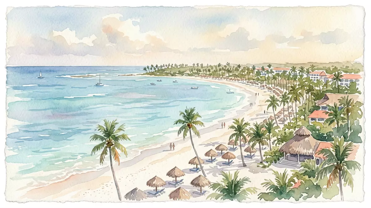
Punta Cana is a resort town on the eastern edge of the Dominican Republic, in La Altagracia Province. Its identity rests on a long, low coast, white sand, and the presence of Punta Cana International Airport.
Punta Cana’s eastern edge and resort coast
The town lies in the Verón–Punta Cana touristic municipal district under Higüey, and the airport gives the area a clear point of arrival. The coast runs along the Caribbean side of the island, with Atlantic water close by at the far eastern tip.
Its modern name links the place to the cane palms that once marked this coast. The older name Punta Borrachón survived in historical accounts of the area, but Punta Cana became the name that travellers use. name and meaning
Frank Rainieri and the resort-era landscape
The best-known development story is tied to Frank Rainieri and Theodore Kheel, who appear in accounts of land purchases in 1969 and the first phase of resort building. That period marked the shift from a sparsely settled coast to a planned holiday area. 1969 land purchase
Club Med is part of the area’s tourism history, and Punta Cana International Airport opened in the 1980s. Those names belong to the place’s development story, but the visible character remains coastal: long beaches, resort compounds, roads, and open stretches of planted land. airport in 1984
La Altagracia Province between two seas
La Altagracia is the easternmost province of the Dominican Republic, and it borders both the Atlantic Ocean and the Caribbean Sea. Punta Cana sits within that setting, where the national map narrows into a tip of land. easternmost province
The resort area belongs to a larger tourism corridor that includes Bávaro and Verón. The setting is coastal and low-lying, with sand, palms, and broad roads rather than an old urban core.
Visiting Punta Cana: what travellers from Western Europe should know
- The main gateway is Punta Cana International Airport, with the resort zone around Verón and Bávaro reached by road from there. The airport sits in the same wider coastal district as the beaches and hotel areas.
- The terrain is mostly flat and sandy, with long coastal distances and little elevation. Inland roads and resort compounds can extend the walking distance between services.
- The official language is Spanish and the currency is the Dominican peso.
- Conditions on the mountain change with the seasons; the local cable-car operators and alpine clubs provide information.
Searching for Punta Cana on social platforms
These links open searches for Punta Cana on each platform.
Frequently asked questions about Punta Cana
Where is Punta Cana?
Punta Cana is on the eastern tip of the Dominican Republic, in La Altagracia Province. It belongs to the Higüey area and forms part of a coastal resort district.
What does a visit feel like?
The place is defined by beaches, resort roads, airport access, and a low coastal landscape. Its setting is more spread out than compact, with travel centred on car transfers and airport arrivals.
What makes Punta Cana distinctive?
The strongest feature is the combination of a named resort coast and an international airport on the same edge of the island. Its modern identity grew from that pairing, while the place keeps a clear link to its palm-based name.


