
Punta Cana and the coastline shaped by palms and reefs
Published on 09/24/2026 at 06:59 | Editorial responsibility: Rafael Müller, Editor-in-Chief AD HOC NEWS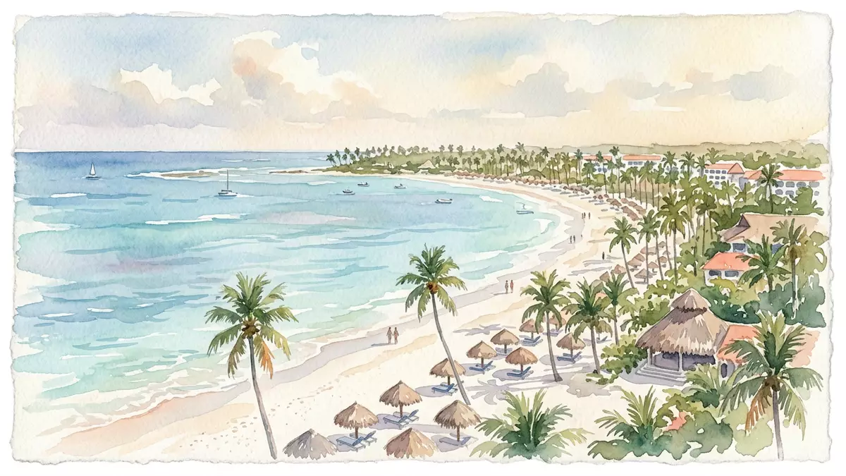
Punta Cana occupies the eastern tip of the Dominican Republic, where a low coastal landscape meets the Atlantic Ocean and the Caribbean Sea. Its identity is visible in the long beaches, cana palms, shallow water and coral reefs that extend beside a resort district.
The place is also a named region within La Altagracia Province, with Punta Cana International Airport inland from the shore. Its modern history began in 1969, when investors acquired coastal land that became the foundation of the Punta Cana resort area.
Punta Cana’s coast of sand, palms and shallow water
Punta Cana’s physical character comes from the relationship between land and sea. Sandy beaches run along the eastern shoreline, with palms and low coastal vegetation behind them. The coast faces the Atlantic at the island’s eastern edge, while the wider region opens towards the Caribbean Sea.
The beach landscape is not a single uninterrupted setting. Punta Cana includes named coastal areas such as Bávaro, Cabeza de Toro, Cabo Engaño and Juanillo, each forming part of a broader resort region. Punta Cana’s eastern location places the shore within La Altagracia Province.
Coral reefs occupy the coastal waters, adding a second landscape beneath the surface. Snorkelling and diving form part of the area’s relationship with the sea, alongside swimming and boat excursions. The visible shore is therefore only one part of Punta Cana’s geography.
From a 1969 land purchase to a resort region
The modern Punta Cana story is tied to 1969, when American investors acquired about 77 km² (30 sq miles) of undeveloped land along the eastern coast. The name became associated with a development that combined accommodation, roads, an airport and long stretches of beach.
The first hotel at Punta Cana Club opened in 1971. The region’s development continued through the late twentieth century, while the surrounding province retained older settlements, farming areas and coastal communities. Punta Cana’s early history connects the resort district with a specific date and a defined tract of land.
Tourism gives Punta Cana its recognisable built form, but the region is not simply a line of hotels. Its formal civic setting is the Verón–Punta Cana Touristic Municipal District, within the municipality of Higüey. Spanish is the official language, and the Dominican peso is the national currency.
Ecological reserves and the wider Dominican landscape
Nature reserves provide a different view of Punta Cana. The Indigenous Eyes Ecological Reserve contains forest, trails and freshwater lagoons within the resort region. Its name refers to the lagoons, which carry names connected with the Indigenous heritage of the island.
The reserve forms part of a wider conservation landscape that includes coastal vegetation, birds, reptiles and freshwater habitats. Punta Cana’s ecological reserve places inland forest and lagoons alongside the beaches and reefs.
Taíno heritage forms part of the cultural background of the Dominican Republic. Spanish and African influences also appear in music, food, religious traditions and public celebrations across the country. Punta Cana’s resort identity exists within this larger Caribbean culture, rather than apart from it.
The region also connects with La Altagracia’s provincial history. Higüey is associated with the Basilica Cathedral of Our Lady of Altagracia, a major religious site in the Dominican Republic. Punta Cana’s coast, reserve landscapes and nearby cultural places create a geography that extends beyond the resort strip.
Visiting Punta Cana: what travellers from Western Europe should know
- Punta Cana lies in eastern La Altagracia Province. Punta Cana International Airport sits inland from the coastal resorts, and roads connect the district with Higüey and La Romana.
- The terrain is low and coastal, with sandy beaches, shallow sea areas, coral reefs, palms and freshwater lagoons in the Indigenous Eyes Ecological Reserve.
- The official language is Spanish and the currency is the Dominican peso.
- Boat trips, reef activities and reserve walks involve different natural settings. Beaches, inland forest and freshwater lagoons are separate parts of the region.
- Entry requirements depend on your nationality; UK travellers can check the FCDO travel advice at gov.uk/foreign-travel-advice, Irish travellers the Department of Foreign Affairs at ireland.ie.
Searching for Punta Cana on social platforms
These links open searches for Punta Cana on each platform.
Frequently asked questions about Punta Cana
Where is Punta Cana?
Punta Cana is on the eastern tip of the Dominican Republic, in La Altagracia Province. The region belongs to the Verón–Punta Cana Touristic Municipal District.
What landscapes does Punta Cana contain?
Punta Cana contains long sandy beaches, palm vegetation, coral reefs, freshwater lagoons and inland forest. The resort district lies beside this varied coastal and ecological setting.
What makes Punta Cana distinctive?
Punta Cana combines a resort region established from 1969 with beaches, cana palms, coral reefs and the Indigenous Eyes Ecological Reserve. Its identity joins tourism, conservation and Caribbean cultural traditions.


