
Punta Cana and its long beach arc
Published on 08/28/2026 at 13:18 | Editorial responsibility: Rafael Müller, Editor-in-Chief AD HOC NEWS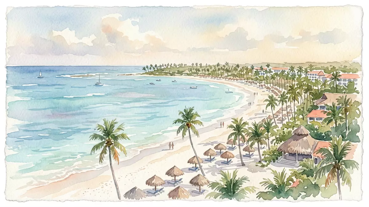
Punta Cana is a resort town on the eastern edge of the Dominican Republic, in La Altagracia Province. Its modern identity is tied to the coast, the airport and a tourism landscape shaped around long beaches and low-rise development.
Punta Cana’s coastal setting and resort form
The place sits where the land meets the Caribbean Sea and the Atlantic Ocean, with white sand, shallow water and a broad coastal strip. The coastal area extends through Bávaro, Macao, Cabeza de Toro and Juanillo, each part of the same resort geography.
Punta Cana is linked to the municipality of Higüey and the Verón–Punta Cana touristic municipal district, which gives the place a formal civic framework beyond the beach image. La Altagracia Province is the wider administrative setting, and the town’s spread reflects that provincial edge.
Frank Rainieri and the resort era
The name Punta Cana was adopted in the late 1960s, when Frank Rainieri and Theodore Kheel began assembling land on the island’s eastern side. Frank Rainieri is central to the area’s story, and the first hotel and later resort projects established the tourist character that remains visible.
The resort setting is not a single compact centre but a chain of beaches, hotels and access roads. The area has become a landscape of open frontage, planted grounds and separate compounds, with Punta Cana Village and Cap Cana adding planned residential layers to the coast.
Air links, roads and the wider coast
Punta Cana International Airport lies inland from the shore on the highway between Higüey and La Romana. Punta Cana International Airport is one of the place’s defining structures, and its presence explains the dense travel network around the resort zone.
The Coral Highway and other road links connect the district with the rest of eastern Hispaniola, while the coast itself remains the main reference point for orientation. A visitor sees beaches first, then roads, airport land and the low buildings of the tourism economy.
Visiting Punta Cana: what travellers from Western Europe should know
- The place lies in the Dominican Republic, on the island’s eastern side, with Punta Cana International Airport inland from the beaches.
- The terrain is low and coastal, with long sandy stretches, shallow water and a broad resort strip rather than a dense urban centre.
- Higüey is the principal nearby town named in the district’s geography, and the airport sits on the road corridor between Higüey and La Romana.
- The official language is Spanish and the currency is the Dominican peso.
Searching for Punta Cana on social platforms
These links open searches for Punta Cana on each platform.
Frequently asked questions about Punta Cana
Where is Punta Cana?
Punta Cana is in the Dominican Republic, on the eastern side of the island of Hispaniola. It belongs to La Altagracia Province and the Verón–Punta Cana municipal district.
What does a visit to Punta Cana involve?
The setting is coastal and resort-based, with beaches, airport access and road links forming the main geography. The town and nearby districts stretch along the shore rather than around a historic centre.
What makes Punta Cana distinctive?
The clearest feature is the combination of long beaches and a major airport close to the resort strip. Frank Rainieri’s role in the area’s development also remains part of its identity.


