
Preikestolen above Lysefjord’s sheer rock wall
Published on 08/21/2026 at 21:40 | Editorial responsibility: Rafael Müller, Editor-in-Chief AD HOC NEWS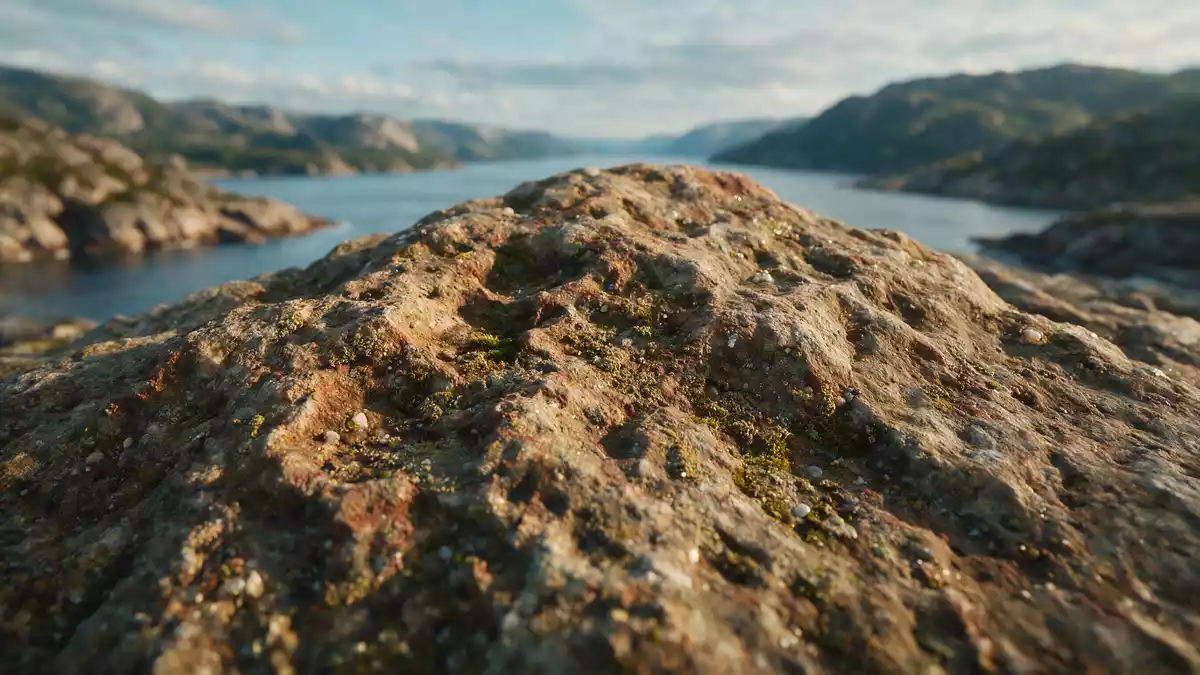
Preikestolen is a steep rock plateau above Lysefjord in the municipality of Strand in Rogaland, a stark block of Norwegian bedrock dropping hundreds of metres to the fjord below. The cliff sits in the Ryfylke district of Western Norway, reached on foot from a marked trail that begins inland and climbs through varied terrain before emerging at the flat top.
A square plateau above Lysefjord
The defining feature of Preikestolen is its almost level summit, a broad plateau that forms a natural terrace above the water. The rock surface is roughly square in plan, giving a geometric clarity to the cliff edge where the plateau ends abruptly in a near-vertical drop towards Lysefjord.square cliff plateau The fjord lies far below, framed by steep mountain slopes on both sides, and the plateau offers extensive views along the waterway.
Lysefjord itself is one of the well-known fjords of southwestern Norway, cutting inland from the North Sea coast east of Stavanger. Preikestolen stands on the northern side of the fjord near its western reach, so the view from the plateau runs along the length of the water and across to other high rock faces on the opposite shore.near-vertical cliff above Lysefjord The name “Preikestolen”, often rendered in English as Pulpit Rock, reflects the plateau’s resemblance to a raised pulpit projecting over the void.
Rock, height and geological origin
Preikestolen is cut from hard Norwegian bedrock, and the cliff face presents a near-vertical wall rising about 604 m (1,982 ft) above the surface of Lysefjord.604 m high cliff The summit plateau itself covers an area of around 25 m by 25 m (82 ft by 82 ft), a proportion that contributes to its distinctive block-like form.25 by 25 metre summit The cliff edge is unprotected by railings, and the rock slab appears as if sliced away from the surrounding mountainside.
The formation of Preikestolen is dated to more than 10,000 years ago, linked to glacial activity in the region that carved Lysefjord and left near-vertical rock faces along its sides.formed more than 10,000 years ago Over time the combination of ice, water and rock fracture produced the square plateau and sheer drop seen today, with joints in the bedrock creating the straight lines and sharp angles that make the plateau distinct against the surrounding slopes.
The hike from trailhead to cliff edge
Most visits to Preikestolen begin at the Preikestolen Fjellstue mountain lodge area, where a signed trail leads into the hills towards the fjord. From this trailhead the route climbs from a starting elevation of around 270–275 m above sea level to the plateau, with a total height gain in the order of 330–370 m depending on the exact path followed.trail from Preikestolen Fjellstue The marked path covers roughly 4 km one way, or about 8 km for the return trip.8 km hike description
Along the route, the trail crosses mixed terrain: stretches of bare rock, areas where stone steps have been laid to assist on steeper slopes, and sections of wetter ground where wooden planks or prepared surfaces carry the path. Small lakes and marshy hollows dot the landscape above the fjord, and in several places the trail follows narrow ledges or passes between boulders before emerging at the plateau’s inland side.description of varied trail terrain The final approach runs over rock slabs that rise towards the cliff edge, with the view opening suddenly as the plateau comes into sight.
Visiting Preikestolen: what travellers from Western Europe should know
- Preikestolen stands above Lysefjord in Strand, in Rogaland in southwestern Norway; the main access routes begin near Stavanger, which is the nearest larger city with broad transport connections.
- The marked hiking trail starts near the Preikestolen Fjellstue lodge area at around 270–275 m above sea level and climbs over prepared rock steps and uneven mountain terrain to the cliff plateau.
- The route includes sections on bare rock, stretches with stone stairways and areas of boggier ground crossed by laid planks, so sturdy footwear and readiness for variable underfoot conditions are important.
- The surrounding landscape is mountainous fjord country, with other high viewpoints and hiking routes in the Ryfylke district accessible by road and ferry from Stavanger.
- Norway’s official language is Norwegian and the currency is the Norwegian krone; entry requirements depend on your nationality, UK travellers can check the FCDO travel advice at gov.uk/foreign-travel-advice, Irish travellers the Department of Foreign Affairs at ireland.ie.
Searching for Preikestolen on social platforms
These links open searches for Preikestolen on each platform.
Frequently asked questions about Preikestolen
Where is Preikestolen located?
Preikestolen stands above Lysefjord in the municipality of Strand in Rogaland, in southwestern Norway, in the Ryfylke district east of Stavanger.
What should visitors expect on a hike to Preikestolen?
Visitors follow a marked mountain trail of around 4 km each way from near Preikestolen Fjellstue, crossing mixed rocky and boggy terrain before reaching the flat cliff plateau.
What makes Preikestolen distinctive among Norwegian fjord viewpoints?
Preikestolen combines a high near-vertical rock wall rising about 604 m above Lysefjord with an almost square, level summit plateau that forms a natural terrace over the fjord.


