Placencia and its long narrow peninsula in Belize
Published on 09/03/2026 at 18:26 | Editorial responsibility: Rafael Müller, Editor-in-Chief AD HOC NEWS
Placencia in Belize sits at the southern tip of a long, narrow peninsula, and the village’s layout is shaped by that strip of land. The setting brings together sea-facing frontage, a compact settlement and a coastal identity that reaches back to Maya occupation and later European settlement.
Placencia on a narrow peninsula
The peninsula is the place’s defining form: a slender landform between the Caribbean Sea and Placencia Lagoon, with the village at its southern end. That geography gives Placencia a clear edge and a strong sense of place before any street is named.
Placencia lies in Stann Creek District in southern Belize. The peninsula’s shape has long made the village a natural marker on coastal maps, and the settlement name is tied to the same promontory that early Spanish travellers called Placentia.
Layers of settlement and sea life
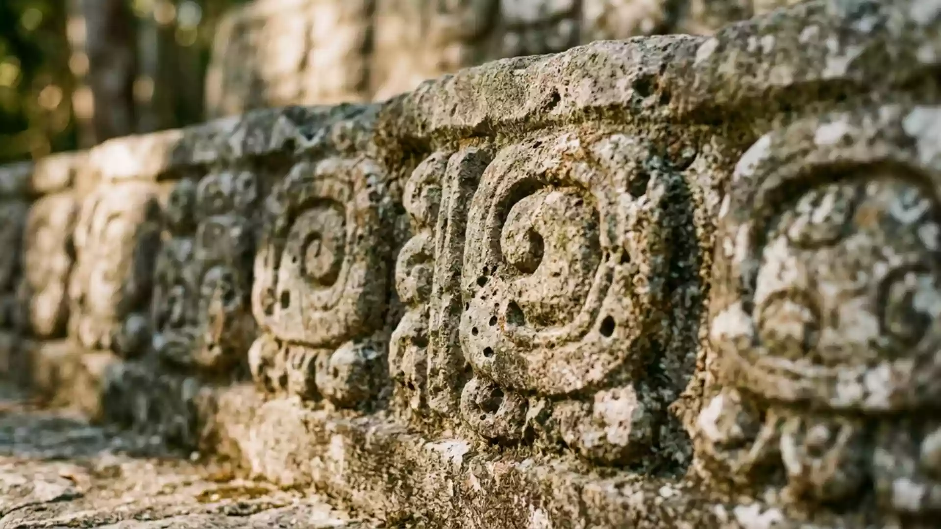
The area’s history begins with the Maya, who left archaeological traces along the peninsula and around the lagoon. In the seventeenth century, English Puritans settled here, and the settlement later faded during the upheavals of the 1820s.
The late nineteenth century brought renewed settlement by families who stayed close to fishing and coastal trade. That maritime livelihood remained central as Placencia developed into a village on the edge of the peninsula.
The name Placencia has become closely associated with the village, the peninsula and the wider stretch of coast around it. The place’s long story is visible in the way a fishing community, a beach settlement and a travel destination sit in the same compact space.
The boardwalk village
Placencia’s most recognisable built feature is the narrow pedestrian sidewalk that runs through the village. It brings together shops, cafés and small businesses in a line that matches the peninsula’s slim profile.
Wooden houses on stilts, low-rise buildings and seaside frontage keep the village visually modest. The result is a place where the main street, the beach edge and everyday coastal life remain closely linked.
Visiting Placencia: what travellers from Western Europe should know
- Placencia is in southern Belize’s Stann Creek District, at the end of the Placencia Peninsula. It is reached by road from the mainland and by air through Placencia Airport.
- The village sits on a narrow peninsula with sea on one side and the lagoon on the other. The boardwalk and the waterfront are the clearest ways to read its layout.
- The settlement is spread along a slim coastal strip, so walking is the most direct way to move through the centre. The street pattern stays simple rather than sprawling.
- The official language is English and the currency is the Belize dollar.
Searching for Placencia on social platforms
These links open searches for Placencia on each platform.
Frequently asked questions about Placencia
Where is Placencia?
Placencia is a village in southern Belize, on the Placencia Peninsula in Stann Creek District. It sits at the peninsula’s southern tip.
What does a visit to Placencia involve?
A visit brings together a narrow seaside settlement, a boardwalk and a beach-edge village layout. The peninsula setting keeps the place compact and easy to read on foot.
What makes Placencia distinctive?
Its strongest feature is the long, narrow peninsula itself, with the village anchored at the end of it. The area also carries a layered history that links Maya settlement, English Puritans and later fishing families.