
Piopiotahi and the steep fiord walls of Milford Sound
Published on 08/29/2026 at 19:48 | Editorial responsibility: Rafael Müller, Editor-in-Chief AD HOC NEWS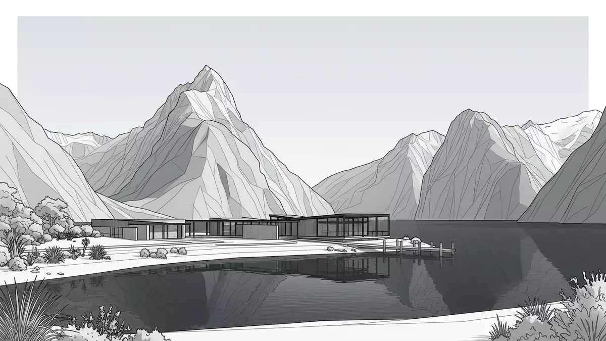
Piopiotahi is the M?ori name for the long sea inlet more widely known as Milford Sound, a deep fiord cut into the south-western coast of New Zealand’s South Island where steep mountains drop into dark water.
The glacial corridor into Fiordland
Piopiotahi lies in the northern part of Fiordland National Park on the south-western coast of New Zealand’s South Island, where a narrow inlet leads inland from the Tasman Sea through a corridor of high rock faces.Milford Sound Piopiotahi runs inland from the Tasman Sea The fiord forms part of the wider Te Wahipounamu World Heritage Area, recognised by UNESCO for its combination of dramatic glacial landforms and largely intact temperate rainforest.Te Wahipounamu has World Heritage status
The inlet stretches for roughly 16 km (10 mi) from the small settlement by the water’s edge out to Dale Point, where it meets the open sea, with depths that reach more than 200 m (656 ft) below the surface in places.Milford Sound/Piopiotahi stretches 16 kilometres to the sea Out of Fiordland’s fourteen fiords, Piopiotahi is the northernmost and the only one reached directly by road, which arrives at the head of the water after crossing mountain passes and tunnelled rock basins.Piopiotahi is the only Fiordland fiord accessible by road
Rock, water and the vertical landscape
Piopiotahi is a true fiord rather than a river-formed sound, shaped by the erosive power of ancient glaciers that carved U-shaped valleys and deep basins into some of New Zealand’s oldest rocks.Milford Sound is geologically a fiord The cliffs and valley walls are built mainly from hard metamorphic and igneous rocks such as gneiss, diorite and granite, whose resistance to erosion contributes to the sheer faces that rise directly from the water.Fiordland rock includes gneiss, diorite and granite
The fiord hosts a layered water environment where heavy rainfall feeds a permanent surface band of freshwater above the saltwater beneath, stained tea-brown by material washed down from the surrounding forest.A freshwater layer overlies the fiord’s seawater Below this layer lies a zone where unusual marine communities cling to the underwater rock faces, protected within the Piopiotahi (Milford Sound) Marine Reserve established in 1993 to safeguard habitats that include stands of black coral.Piopiotahi (Milford Sound) Marine Reserve was established in 1993
Names, stories and the meaning of Piopiotahi
In te reo M?ori the fiord is known as Piopiotahi, a name that combines the word “piopio” for a small native thrush-like bird with “tahi”, meaning “one”, and recalls a single bird in mythic time.Piopiotahi is the M?ori name for Milford Sound The South Island piopio itself is extinct, but its memory endures in stories that connect the bird with this remote inlet, including traditions in which it flew to the fiord to mourn the death of the demi-god M?ui.The South Island piopio is linked to Piopiotahi in M?ori legend
English-language usage combines the M?ori and English forms in the official dual name Milford Sound / Piopiotahi, recorded in gazetted naming lists and reflecting New Zealand’s broader move towards recognising indigenous place names alongside later European ones.Its official dual name is Milford Sound / Piopiotahi The place name reaches beyond mapping, tying the fiord’s steep rock and deep water to language, story and the vanished bird whose memory remains embedded in the landscape.
Visiting Piopiotahi: what travellers from Western Europe should know
- Piopiotahi lies in the northern part of Fiordland National Park on the south-western coast of New Zealand’s South Island and is reached at the end of State Highway 94 from Te Anau.
- The approach by road crosses high passes and a tunnelled basin in hard rock terrain, and the surrounding landscape combines steep valley walls with sections of dense temperate rainforest.
- Boat trips on the fiord depart from the small settlement at the head of Piopiotahi, providing access to the deep inlet and views of cliffs, waterfalls and the Tasman Sea entrance.
- The official language is English and the currency is the New Zealand dollar.
- Entry requirements depend on your nationality; UK travellers can check the FCDO travel advice at gov.uk/foreign-travel-advice, Irish travellers the Department of Foreign Affairs at ireland.ie.
Searching for Piopiotahi on social platforms
These links open searches for Piopiotahi on each platform.
Frequently asked questions about Piopiotahi
Where is Piopiotahi?
Piopiotahi is a fiord on the south-western coast of New Zealand’s South Island, in the northern part of Fiordland National Park and within the Te Wahipounamu World Heritage Area.
What can travellers expect on a visit?
Travellers encounter a long, narrow inlet bordered by steep rock faces, temperate rainforest and waterfalls, with boat trips and other excursions departing from the small settlement at the head of the fiord.
What makes Piopiotahi distinctive among New Zealand landscapes?
Piopiotahi combines a deep glacial fiord, very steep rock walls and a layered freshwater and saltwater environment, tied to M?ori naming traditions that remember the extinct piopio bird.


