
Phi Phi Islands: limestone bays in Thailand’s Andaman Sea
Published on 09/17/2026 at 14:58 | Editorial responsibility: Rafael Müller, Editor-in-Chief AD HOC NEWS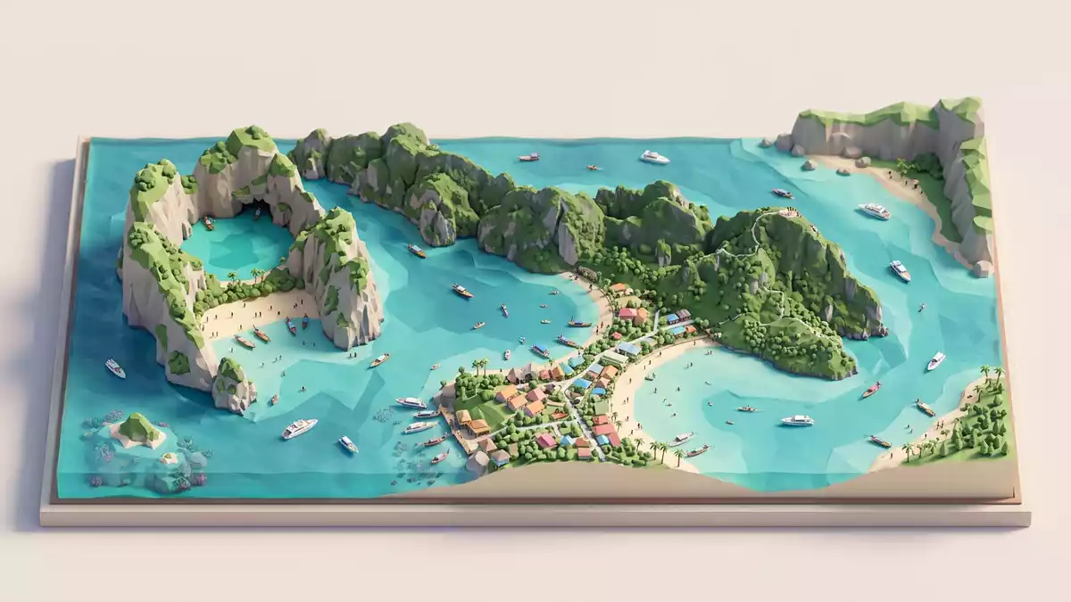
Phi Phi Islands in Krabi, Thailand are a compact limestone archipelago in the Strait of Malacca, set between the larger island of Phuket and the Andaman Sea coast of the mainland. The group belongs administratively to Krabi Province, anchoring it firmly in southern Thailand’s maritime landscape.Phi Phi Islands
Limestone peaks and sheltered bays
The Phi Phi Islands form a small archipelago of six named islands, characterised by steep limestone hills and short coastal plains that drop into clear water.Phi Phi islands are a group of six islands The two largest, Phi Phi Don and Phi Phi Leh, sit among smaller rocky outcrops such as Bida Nok, Bida Nai, Bamboo Island and Mosquito Island.small archipelago consists of six islands
The islands rise in the northern part of the Strait of Malacca, between Phuket to the west and the Krabi coastline to the east, and are part of Hat Noppharat Thara–Mu Ko Phi Phi National Park.administratively part of Krabi Province Sheer limestone cliffs frame bays with short sandy beaches, backed by low vegetation on pockets of flatter ground, giving the islands a marked contrast between vertical rock faces and intimate coastal inlets.
Phi Phi Don and Phi Phi Leh: twin cores of the archipelago
Phi Phi Don is the largest island in the group, with an area of about 10.27 km² (3.97 sq mi).Phi Phi Don is 10.27 km² Its elongated outline runs for roughly 8 km (5.0 mi), with a width of about 3.5 km (2.2 mi), creating a series of low saddles between higher limestone ridges.Ko Phi Phi Don, the largest and most populated island Much of the settlement concentrates around the isthmus at Tonsai Bay, where a sand bar links two higher parts of the island.
Phi Phi Leh, also written Ko Phi Phi Le or Koh Phi Phi Leh, lies a short distance to the south of Phi Phi Don and forms the second-largest island in the archipelago.Ko Phi Phi Le is the second largest island It covers roughly 2 km² (0.77 sq mi) and consists of a ring of steep limestone hills enclosing shallow bays such as Maya Bay and Loh Samah.ring of steep limestone hills The interior is largely cliff-bound, so boats approach the island along indented coastlines that open into sheltered water.
Named bays, caves and smaller islands
On Phi Phi Leh, Maya Bay forms a well-known indentation on the southern side, enclosed by cliffs on three sides and opening to the sea along a short sandy foreshore.Maya Bay is an uninhabited bay Nearby, Pi Leh Lagoon cuts deeply into the eastern side of the island, while Viking Cave occupies a high grotto in the northern sector where long painted boats gave the cave its modern name.Viking Cave, the high grotto
Beyond the two main islands, the smaller members of the group each have distinct outlines. Bamboo Island (Koh Mai Phai) forms a low island ringed by beaches, while Mosquito Island (Ko Yung) and the Bida islets present taller limestone forms that rise more abruptly from the sea.Koh Yoong and Koh Phai Together, the islands occupy just over 12 km² (4.6 sq mi), set within a wider national park area that measures tens of thousands of hectares.the islands occupy 12.06 square kilometres
Visiting Phi Phi Islands: what travellers from Western Europe should know
- Phi Phi Islands lie off the Andaman Sea coast of southern Thailand, between Phuket to the west and the Krabi mainland to the east; boat services link them with both.
- The terrain is dominated by steep limestone slopes, short beaches and narrow coastal paths, so moving between bays often involves boat travel and walking on uneven surfaces.
- The official language is Thai and the currency is the baht.
- Entry requirements depend on your nationality; UK travellers can check the FCDO travel advice at gov.uk/foreign-travel-advice, Irish travellers the Department of Foreign Affairs at ireland.ie.
Searching for Phi Phi Islands on social platforms
These links open searches for Phi Phi Islands on each platform.Frequently asked questions about Phi Phi Islands
Where are the Phi Phi Islands located?
The Phi Phi Islands lie in the Strait of Malacca between Phuket and the Krabi mainland coast in southern Thailand, and are administratively part of Krabi Province.
What can visitors expect on a visit to Phi Phi Islands?
Visitors encounter steep limestone cliffs, short sandy beaches, named bays such as Maya Bay and Pi Leh Lagoon, and smaller islands like Bamboo Island and Mosquito Island.
What makes Phi Phi Islands distinctive among Thai island groups?
The group combines twin main islands, a ring-like limestone structure on Phi Phi Leh enclosing shallow bays, and a compact set of six named islands inside a national park area.


