
Paseo de la Reforma, the grand diagonal of Mexiko-Stadt
Published on 09/08/2026 at 18:42 | Editorial responsibility: Rafael Müller, Editor-in-Chief AD HOC NEWS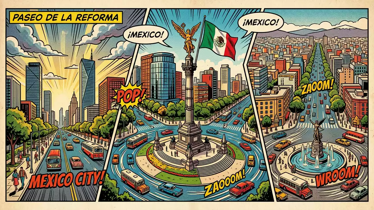
Paseo de la Reforma is the broad diagonal boulevard that runs across Mexiko-Stadt, laid out in the nineteenth century between Chapultepec Castle and the historic centre and later lined with monuments to Mexico’s political history.
From imperial promenade to reform boulevard
The story of Paseo de la Reforma begins in the era of the Second Mexican Empire, when Emperor Maximilian I lived at Chapultepec Castle overlooking the city.Second Mexican Empire In the 1860s he ordered a grand avenue to be laid out to link his residence at Chapultepec with the National Palace in the city centre, modelled on European boulevards such as the Ringstraße in Vienna and the Champs-Élysées in Paris.modelled on European boulevards
The avenue was designed by the Austrian engineer Ferdinand von Rosenzweig and originally carried the name Paseo de la Emperatriz in honour of Empress Carlota, reflecting its imperial origin.Ferdinand von Rosenzweig After Maximilian’s execution in 1867 and the end of the empire, the restored republican government renamed the road, first recognising General Santos Degollado and then, in 1872, giving it the lasting name Paseo de la Reforma to mark the liberal Reform movement associated with President Benito Juárez.lasting name Paseo de la Reforma
A diagonal spine of Mexiko-Stadt
Paseo de la Reforma runs on a diagonal alignment from the area around Chapultepec Park towards the historic centre, cutting across the older street grid and providing a broad axis lined with planting, traffic lanes and pedestrian space.route from Chapultepec Castle Over the late nineteenth and early twentieth centuries the boulevard was widened and extended beyond its first stretch, becoming a long thoroughfare that connects districts west of the centre with areas closer to the Basilica of Guadalupe and Calzada de los Misterios.connects Chapultepec with the north
The boulevard’s roundabouts, or glorietas, became focal points for urban design under President Porfirio Díaz, who governed Mexico for much of the period between 1876 and 1911; mansion construction along the avenue followed, and the road formed a central axis for the city’s expansion towards the west.glorietas under Porfirio Díaz Walking along Paseo de la Reforma brings a sequence of open sections, planted medians and busy intersections, with views towards Chapultepec’s wooded slopes in one direction and towards the historic centre in the other.
Monuments along the boulevard
Over the twentieth century the glorietas along Paseo de la Reforma filled with monuments to independence leaders, indigenous rulers and republican figures, turning the road into a kind of open-air gallery of Mexican history.roundabouts with independence heroes One of the most recognisable structures on the avenue is the Angel of Independence, a victory column standing on a roundabout in the central section of the boulevard.Angel of Independence
The Angel of Independence was inaugurated in 1910 during the presidency of Porfirio Díaz to mark the centenary of the beginning of the War of Independence, with the architect Antonio Rivas Mercado responsible for its design.architect Antonio Rivas Mercado Elsewhere along Paseo de la Reforma, statues and memorials dedicated to figures such as Benito Juárez and to events in the Reform era stand between the carriageways, so a walk along the boulevard traces political and urban history in parallel.
Visiting Paseo de la Reforma: what travellers from Western Europe should know
- Paseo de la Reforma runs between Chapultepec Park in the west of Mexiko-Stadt and the historic centre, and is reached by city metro and bus services that stop near its junctions.
- The boulevard itself is relatively level but long, so exploring it on foot involves extended walks along pavements and across wide junctions.
- Chapultepec Park lies beside the western section of the avenue, with the castle on the hill above, while the eastern stretches approach districts leading towards the Basilica of Guadalupe.
- The official language is Spanish and the currency is the Mexican peso.
- Entry requirements depend on your nationality; UK travellers can check the FCDO travel advice at gov.uk/foreign-travel-advice, Irish travellers the Department of Foreign Affairs at ireland.ie.
Searching for Paseo de la Reforma on social platforms
These links open searches for Paseo de la Reforma on each platform.
Frequently asked questions about Paseo de la Reforma
Where is Paseo de la Reforma in Mexiko-Stadt?
Paseo de la Reforma runs between Chapultepec Park on the western side of Mexiko-Stadt and the historic centre near the National Palace, crossing several central districts.
What can travellers expect when walking along Paseo de la Reforma?
A walk along Paseo de la Reforma follows a broad urban boulevard with planted medians, busy intersections and a sequence of monuments, including the Angel of Independence on one of its roundabouts.
What makes Paseo de la Reforma distinctive among Mexiko-Stadt’s streets?
The boulevard’s diagonal alignment between Chapultepec Castle and the centre, its origin in the reign of Emperor Maximilian I and its concentration of historical monuments give it a distinctive role in the city’s layout.


