Parque Nacional Torres del Paine and the granite towers of Patagonia
Published on 09/07/2026 at 14:07 | Editorial responsibility: Rafael Müller, Editor-in-Chief AD HOC NEWS
Parque Nacional Torres del Paine in southern Chile is a national park where sheer granite towers, glacial valleys and wide Patagonian steppe come together around a single mountain massif. Created as a national park in 1959, it lies in the Magallanes Region, north of Puerto Natales, and forms the terrestrial core of the Torres del Paine Biosphere Reserve designated under UNESCO’s Man and the Biosphere Programme in 1978.Torres del Paine Biosphere Reserve
The Paine Massif and its granite towers
The defining feature of Parque Nacional Torres del Paine is the Paine Massif, a compact mountain group that rises abruptly between the Andes and the Patagonian steppe in southern Chile.Between Andes and steppe The park is set in the Province of Última Esperanza, with its main mountains concentrated around a central block of uplifted rock surrounded by lakes and glacial valleys.Province of Última Esperanza
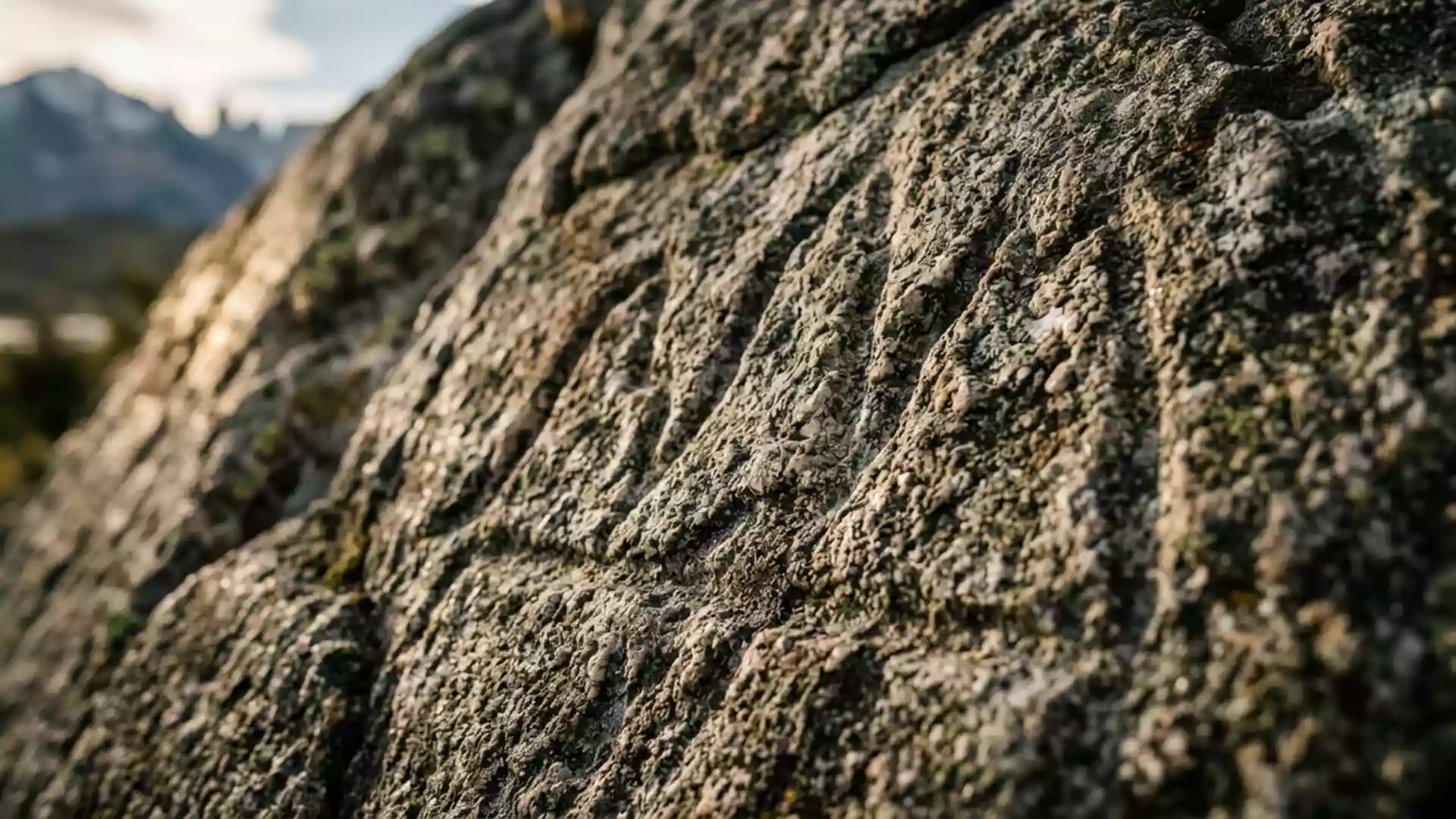
The “Torres del Paine” themselves are slender granite towers that rise above a surrounding base, forming the most recognisable skyline in the park.Granite Torres del Paine Nearby, the Cuernos del Paine show a different form, with darker rock caps resting above paler flanks, and the higher peaks carry small glaciers and snowfields that feed lakes and rivers in the valleys below.Cuernos del Paine peaks
Lakes, glaciers and Patagonian steppe
Around the Paine Massif, the landscape shifts from blue and turquoise lakes to dry grassland and river plains, giving the park a strong contrast in landforms over a relatively compact area. Glacial lakes such as Lago Grey collect icebergs calved from Grey Glacier, while longer lakes including Nordenskjöld and Pehoé stretch along the base of the massif.Grey, Nordenskjöld and Pehoé
Beyond the lakes and forest patches, wide areas of Patagonian steppe extend across the lower elevations of the park, supporting grasses and shrubs adapted to strong winds and a cool climate.Patagonian steppe The park lies between about 50°45? and 51°20? south and between 72°31? and 73°22? west, and within this band visitors move from open plains to narrow valleys and lakeshores as they traverse different sectors of the protected area.Park coordinates and extent
Trails around the Torres and Grey Glacier
Parque Nacional Torres del Paine is known for multi-day trekking routes that loop around or cut through the Paine Massif, connecting viewpoints of the granite towers, glaciers and valleys. The W Trek follows a W-shaped route that links three key sectors: the base of the Torres, the French Valley and the Grey Glacier, offering repeated views up to rock faces and hanging glaciers.W Trek highlights
For a longer circuit, the O route combines the W’s eastern and western arms with a loop around the back of the massif, crossing high passes with views over the entire Grey Glacier ice field and remote valleys on the northern side of the park.Full O Circuit loop Along these routes, marked paths lead through forest, along lakeshores and over rocky slopes, and simple bridges and waypoints link the main sectors without changing the wild character of the terrain.
Visiting Parque Nacional Torres del Paine: what travellers from Western Europe should know
- Parque Nacional Torres del Paine lies in the Magallanes Region of southern Chile, with Puerto Natales acting as the nearest city and main gateway for overland connections.
- Approach roads reach the park from Puerto Natales via the main Chilean highway Ruta 9 Norte and secondary gravel roads that lead to entrances such as Laguna Amarga and Serrano.
- Trekking routes in the park involve long stretches on foot over uneven ground, with sections of rocky path, forest roots and slopes that can feel exposed in strong winds.
- The terrain brings visitors from low Patagonian steppe up to higher passes, where altitude is moderate but weather can change quickly, especially near glaciers and ridges.
- The official language is Spanish and the currency is the Chilean peso.
Searching for Parque Nacional Torres del Paine on social platforms
These links open searches for Parque Nacional Torres del Paine on each platform.
Frequently asked questions about Parque Nacional Torres del Paine
Where is Parque Nacional Torres del Paine located in relation to Puerto Natales?
Parque Nacional Torres del Paine lies north of the port town of Puerto Natales in the Magallanes Region of southern Chile, within the Province of Última Esperanza.Nearest city Puerto Natales
What can visitors expect on a first visit to the park?
Visitors encounter a compact mountain massif with granite towers, glaciers, lakes and Patagonian steppe, linked by trekking routes that cross forest, open plains and rocky slopes.Trekking through Torres del Paine
What makes Parque Nacional Torres del Paine distinctive among Patagonian landscapes?
The park brings sharp granite spires, contrasting dark-and-pale peaks, glacial lakes and dry steppe into a single protected area, forming a concentrated cross-section of southern Patagonian scenery.Concentrated Patagonian scenery