
Parque Nacional Natural Tayrona where mountains meet the Caribbean
Published on 09/22/2026 at 22:02 | Editorial responsibility: Rafael Müller, Editor-in-Chief AD HOC NEWS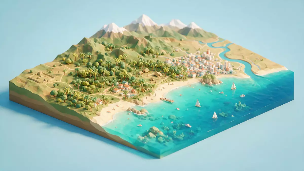
Parque Nacional Natural Tayrona places tropical forest, granite coast and Caribbean water in one protected landscape near Santa Marta. The foothills of the Sierra Nevada de Santa Marta reach the shoreline, where sandy bays, rocky headlands and marine habitats follow one another along Colombia’s northern coast.
Where the Sierra Nevada reaches the sea
Parque Nacional Natural Tayrona lies within the jurisdiction of Santa Marta, in the Department of Magdalena. Its terrestrial area covers approximately 12,692 hectares, while the protected marine zone extends into the Caribbean Sea. Tayrona’s coastal ecosystems include beaches, coastal lagoons, mangroves, rocky shore, coral formations, seagrass meadows and sedimentary seabeds.
The land rises from sea level towards the lower slopes of the Sierra Nevada de Santa Marta. Vegetation changes across this short vertical range, from thorny scrub and tropical dry forest to humid forest and cloud forest. Streams cross the protected area before reaching bays, beaches and the sea.
The coastline is formed by coves, peninsulas, rocky sections and beaches backed by vegetation. At Arrecifes, the beach is exposed to open Caribbean water, while other coastal areas present sheltered bays and different combinations of sand, rock and forest. The named beaches are part of a wider coastal mosaic, not separate attractions detached from the mountain landscape.
Forests, reefs and the protected sea
The park’s identity rests on the meeting of terrestrial and marine ecosystems. Dry forest contains trees and shrubs adapted to seasonal water shortage, while humid forest supports denser vegetation. Cloud forest occurs in the higher parts of the park, beneath the one-thousand-metre level described for the protected area.
Along the coast, mangroves grow beside lagoons and tidal water. Coral formations and seagrass meadows occupy parts of the marine area, with rocky shore and sandy seabed adding further habitats. The park’s ecosystem mosaic includes four broad terrestrial environments and several coastal marine environments.
This range of habitats explains the changing scenery along the coast without requiring a long journey between separate regions. A forested slope can stand above a beach, while a rocky point opens towards coral communities and open sea. The protected boundary therefore includes landscapes that are visible from land and habitats that continue beneath the water.
The Sierra Nevada de Santa Marta is geographically distinct from the main Andean chain. Its summit region rises far above Tayrona and is connected to the Caribbean landscape through steep slopes, rivers and vegetation belts. The park occupies the coastal part of this wider mountain system.
A protected landscape with Tairona heritage
Parque Nacional Natural Tayrona was declared through Resolution 191 on 31 August 1964. A further executive resolution dated 18 August 1969 formalised its status. The 1964 declaration placed the area within Colombia’s national park system.
The park’s name connects it with the Tairona culture associated with the Caribbean foothills and the Sierra Nevada region. Archaeological remains in the wider area include stone terraces, paths, foundations and settlements. Chairama, also known as Pueblito, is an archaeological site within the park and forms part of its cultural heritage.
The park also lies within the Línea Negra, an ancestral territory associated with the Kogui, Wiwa, Arhuaco and Kankuamo peoples of the Sierra Nevada de Santa Marta. Sacred places and cultural relationships connect the coast with the mountains. Chairama and the Línea Negra are part of the cultural dimensions recognised in the park’s conservation framework.
This combination gives Tayrona several layers of meaning. It is a national park, a coastal and marine reserve, a landscape of archaeological remains and a place connected with Indigenous traditions. The physical scenery and cultural history occupy the same protected territory.
Visiting Parque Nacional Natural Tayrona: what travellers from Western Europe should know
- Parque Nacional Natural Tayrona lies north-east of Santa Marta on Colombia’s Caribbean coast. Road transport reaches the park from Santa Marta, and local routes connect with coastal access points.
- Trails cross forest, uneven ground, sandy sections, streams and rocky coastal terrain. Reaching beaches such as Arrecifes involves walking through the protected landscape.
- The park extends from sea level towards approximately 900 metres. Heat, humidity, forest shade and exposed shore occur across the same protected area.
- The official language is Spanish and the currency is the Colombian peso.
- Entry requirements depend on your nationality; UK travellers can check the FCDO travel advice at gov.uk/foreign-travel-advice, Irish travellers the Department of Foreign Affairs at ireland.ie.
Searching for Parque Nacional Natural Tayrona on social platforms
These links open searches for Parque Nacional Natural Tayrona on each platform.
Frequently asked questions about Parque Nacional Natural Tayrona
Where is Parque Nacional Natural Tayrona?
It is on Colombia’s northern Caribbean coast, within Santa Marta in the Department of Magdalena. The park lies where the Sierra Nevada de Santa Marta meets the Caribbean Sea.
What can visitors expect in the park?
Visitors encounter forest trails, streams, sandy beaches, rocky coastline, coastal lagoons and marine habitats. Archaeological places and culturally significant areas form part of the protected landscape.
What makes Parque Nacional Natural Tayrona distinctive?
Its protected area combines tropical dry forest, humid forest, cloud forest, Caribbean beaches, coral formations and seagrass meadows. It also includes Tairona archaeological heritage and places within the Línea Negra.


