
Parque Nacional Natural Tayrona where mountains meet the Caribbean
Published on 09/18/2026 at 08:35 | Editorial responsibility: Rafael Müller, Editor-in-Chief AD HOC NEWS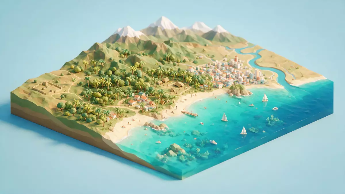
Parque Nacional Natural Tayrona on Colombia’s northern Caribbean coast is a national park where the foothills of the Sierra Nevada de Santa Marta descend directly into the sea, creating a visible meeting of steep green slopes and bright sandy bays. Established as a protected area in 1964, it lies within the jurisdiction of Santa Marta in the Department of Magdalena and combines coastal hills, tropical forest and marine habitats in one compact landscape.
Where the Sierra Nevada meets the Caribbean
The defining feature of Parque Nacional Natural Tayrona is the way the coastal spur of the Sierra Nevada de Santa Marta runs into the Caribbean, breaking up the shoreline into a sequence of headlands, coves and small bays. The national park occupies a stretch of coast north-east of Santa Marta, with hills rising behind the beaches and the Caribbean Sea extending in front of them.The park is described as a protected area in the Colombian northern Caribbean region and forms part of the wider Sierra Nevada de Santa Marta massif.
Within the protected area, land and sea are both included. Several descriptions give the terrestrial area as around 150 km² backed by an additional belt of Caribbean waters, while management plans refer to a larger total protected surface that covers both terrestrial and marine zones.A management document for the park mentions terrestrial heights from sea level up to around 900 m, underlining the range from beaches to coastal hills.
Landscapes of forest, bays and headlands
The coastal strip inside Parque Nacional Natural Tayrona alternates between white or pale sand beaches, rocky points and low cliffs, with forested slopes rising behind them. Older park descriptions highlight bays such as Chengue, Gayraca, Cinto, Neguanje, Concha and Guachaquita, each formed where the spur of the Sierra Nevada enters the sea and leaves smaller inlets between its “fingers”.These named bays are described with beaches of light sand bordered by mangroves, scrub or forest and washed by clear Caribbean water, giving an idea of the variety of shorelines inside the park.
Inland from the shore, the vegetation reflects the dry Caribbean climate and the height range. Official material on Parque Nacional Natural Tayrona refers to ecosystems including thorny scrub, dry and more humid forest, cloud forest patches, mangroves and coastal formations such as coral communities and sea-grass meadows.A park description lists dry forest, humid forest, cloud forest and marine ecosystems including coral formations and sea-grass meadows, showing how the protected area spans both terrestrial and underwater habitats.
Cultural history and protected status
Parque Nacional Natural Tayrona carries both ecological and cultural significance. The park lies within a region long associated with the Indigenous Tayrona culture and with the contemporary Indigenous communities of the Sierra Nevada de Santa Marta, whose settlements and sacred sites exist in the wider mountain area. While the park is classed as a national natural park under Colombian law, its surroundings also link to the broader cultural landscape of the Sierra Nevada.
The park was declared in the 1960s, with sources recording a resolution in 1964 and further executive acts in 1969 that formalised its protected status.The management plan notes a declaration as a national park by Resolution 191 of 31 August 1964 and Resolution 292 of 18 August 1969, anchoring its creation in that decade. Modern descriptions continue to emphasise its role in conserving tropical dry forest, coastal ecosystems and the interface between the Sierra Nevada de Santa Marta and the Caribbean Sea.Official park information highlights well-conserved tropical dry forest alongside coastal coral and blue waters on the Caribbean coast.
Visiting Parque Nacional Natural Tayrona: what travellers from Western Europe should know
- Parque Nacional Natural Tayrona lies north-east of Santa Marta on Colombia’s Caribbean coast, reached overland from the city along the trunk road towards Riohacha and by local transport to park entrances.
- Within the park, approaches to beaches and viewpoints follow footpaths across coastal forest and scrub; some routes involve sustained walking on uneven ground and stairways up and down the terrain behind the bays.
- The coastal setting means strong sun and warm temperatures; visitors encounter sandy beaches, rocky shorelines and shaded forest sections rather than urban paving or indoor spaces.
- The official language is Spanish and the currency is the Colombian peso.
- Entry requirements depend on your nationality; UK travellers can check the FCDO travel advice at gov.uk/foreign-travel-advice, Irish travellers the Department of Foreign Affairs at ireland.ie.
Searching for Parque Nacional Natural Tayrona on social platforms
These links open searches for Parque Nacional Natural Tayrona on each platform.
Frequently asked questions about Parque Nacional Natural Tayrona
Where is Parque Nacional Natural Tayrona located?
Parque Nacional Natural Tayrona is on Colombia’s northern Caribbean coast in the Department of Magdalena, within the jurisdiction of Santa Marta and reached from the city along the coastal highway.
What can visitors expect on a visit to Parque Nacional Natural Tayrona?
Visitors encounter a protected landscape of Caribbean beaches, forested hillsides and marine ecosystems, reached by walking paths that connect park entrances with bays, viewpoints and coastal areas.
What makes Parque Nacional Natural Tayrona distinctive among Colombian national parks?
Parque Nacional Natural Tayrona is distinctive for the way the Sierra Nevada de Santa Marta meets the Caribbean Sea within a relatively compact protected area, combining dry forest, coastal bays and coral-rich waters.


