
Parque Nacional Natural Tayrona where mountains meet the Caribbean
Published on 08/18/2026 at 13:25 | Editorial responsibility: Rafael Müller, Editor-in-Chief AD HOC NEWS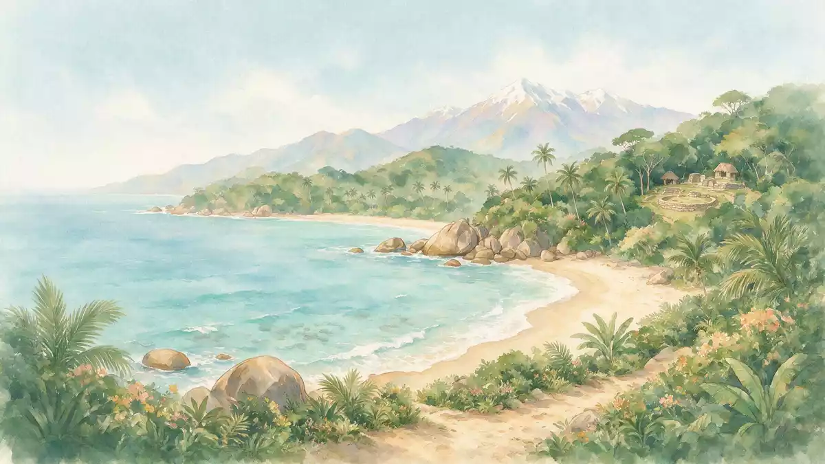
Parque Nacional Natural Tayrona on Colombia’s northern Caribbean coast is a protected landscape where the foothills of the Sierra Nevada de Santa Marta fall directly into the sea, creating a dramatic meeting of steep green slopes and bright sandy coves.
Caribbean bays beneath the Sierra Nevada
The national park lies within the jurisdiction of Santa Marta in the Department of Magdalena, stretching along a section of Colombia’s Caribbean shoreline east of the city.Santa Marta, Colombia The protected area combines land and marine zones, with around 150 km² (58 sq mi) of coastal hills, forest and beaches backed by an additional belt of Caribbean waters.150 square kilometres of land
The terrain forms a series of headlands and inlets where the Sierra Nevada’s spurs reach the sea in rocky fingers, enclosing bays such as Gayraca, Cinto, Neguanje and Concha.bays and coves like Gayraca and Neguanje Beaches in these coves have pale sand backed by tropical vegetation, while offshore the seabed includes coral formations and seagrass meadows described in ecological profiles of the park.coral reefs and seagrass meadows
Forest, sea and archaeological heritage
Tayrona protects a mosaic of ecosystems ranging from dry thorn scrub near the coast to humid and cloud forests higher on the slopes, together with mangroves, rocky shores and marine habitats such as coral reefs and algal beds.thorn scrub, dry forest and mangroves Elevations inside the park rise from sea level to around 900 m (2,953 ft), reflecting its position on the lower flanks of the Sierra Nevada de Santa Marta.sea level to 900 m elevation
Beyond the natural scenery, Tayrona contains traces of the pre-Columbian Tairona culture in the form of stone paths, terraces and settlement remains scattered through the forest, with research noting hundreds of archaeological sites inside the park boundaries.over 250 archaeological settlements The protected status is long-standing: the area was formally designated as Tayrona National Natural Park in 1964, placing its beaches and hills under conservation during the twentieth century.established 24 April 1964
Access routes and coastal sectors
The park’s main terrestrial access follows the Caribbean trunk road north-east from Santa Marta towards Riohacha to reach the El Zaino sector, described in official documents as the principal entrance.El Zaino principal sector of entry Another access point at Palangana lies closer to Santa Marta and leads to coastal areas including Gayraca, Neguanje and Playa Cristal on the western side of the park’s shoreline.entry via the Palangana sector
Maps and regional descriptions place Tayrona along roughly 30 km (19 mi) of coast where the national park extends between the outskirts of Santa Marta and the mouth of the Río Piedras, taking in both terrestrial slopes and marine areas.stretch of Caribbean coast The setting, with mountain foothills running down to the sea, makes viewpoints above the beaches and bays a central part of many routes through the park.
Visiting Parque Nacional Natural Tayrona: what travellers from Western Europe should know
- Parque Nacional Natural Tayrona lies north-east of Santa Marta along Colombia’s Caribbean trunk road towards Riohacha, with road access to sectors such as El Zaino and Palangana.
- Within the park, approaches to beaches and viewpoints can involve walking on sandy paths, climbing stone steps on slopes and following trails that pass through forest on uneven terrain.
- In this part of Colombia the climate is warm, with typical temperatures around 27 °C, and many paths and beaches are exposed to sun without shade from buildings.
- The official language is Spanish and the currency is the Colombian peso.
- Entry requirements depend on your nationality; UK travellers can check the FCDO travel advice at gov.uk/foreign-travel-advice, Irish travellers the Department of Foreign Affairs at ireland.ie.
Searching for Parque Nacional Natural Tayrona on social platforms
These links open searches for Parque Nacional Natural Tayrona on each platform.Frequently asked questions about Parque Nacional Natural Tayrona
Where is Parque Nacional Natural Tayrona located?
Parque Nacional Natural Tayrona is on Colombia’s northern Caribbean coast in the Department of Magdalena, within the jurisdiction of Santa Marta and reached via the Caribbean trunk road.
What can visitors expect on a visit to Tayrona?
Visitors encounter a mix of forested slopes, sandy beaches in enclosed bays, mangroves and coral-rich waters, along with stone paths and terraces linked to ancient Tairona settlements.
What makes Parque Nacional Natural Tayrona distinctive among Colombia’s parks?
Tayrona is distinctive for bringing the Sierra Nevada de Santa Marta directly to the Caribbean shoreline, combining steep coastal hills, diverse ecosystems and visible archaeological heritage within a single protected area.


