
Parque Nacional Corcovado and the Osa Peninsula edge
Published on 09/15/2026 at 09:27 | Editorial responsibility: Rafael Müller, Editor-in-Chief AD HOC NEWS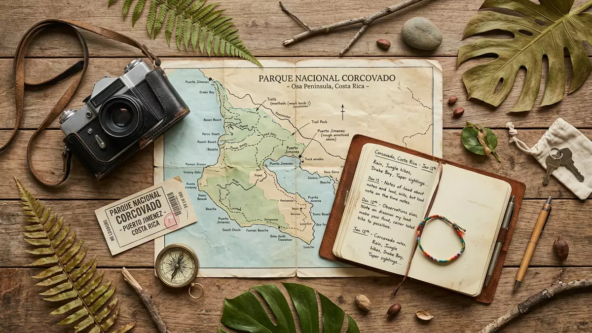
Parque Nacional Corcovado on Costa Rica’s Osa Peninsula combines lowland rainforest, beaches, mangroves and marine waters in one protected landscape. It lies near Puerto Jimenez and was established in 1975, a date that fixes its place in the country’s conservation history.1975
Rainforest, beach and mangrove in one park
The park’s spread across land and sea gives it a layered character: inland forest, river corridors, sandy shore and shallow coastal habitats sit within the same boundary. That range is part of the appeal of Parque Nacional Corcovado, which is also linked in public descriptions to the Osa Peninsula and Puntarenas Province.Osa Peninsula
Its recorded surface area is 424 square kilometres, or 164 square miles, a scale that helps explain why the park reads less like a single viewpoint and more like a whole coastal landscape. The protected area also includes sections of beach and forest that meet directly at the edge of the Pacific.424 square kilometres
The protected landscape on Costa Rica’s south-western coast
Corcovado belongs to the far south-western side of Costa Rica, where the Osa Peninsula pushes into the Pacific. That coastal position gives the park a strong maritime edge, with mangroves, lagoons and rainforest appearing in a single setting.south-western tip
The national park was created by decree on 24 October 1975, and that formal date remains central to its identity. The recorded creation places it among Costa Rica’s protected areas from the period when national conservation policy was becoming more systematic.24 October 1975
A park shaped by water as much as forest
Corcovado is not a mountain park or a dry inland reserve. It is a coastal one, with terrain that combines rainforest, wet ground, beach and estuary in a compact but varied setting.
The park description from Costa Rica’s tourism body lists lagoons, marsh, mangrove swamps, rivers, wet forest and low-altitude cloud forest among its protected habitats. That mix gives the place a clear ecological breadth, with habitat changes visible across a relatively short span of land.protected habitats
Visiting Parque Nacional Corcovado: what travellers from Western Europe should know
- The park lies on the Osa Peninsula near Puerto Jimenez in Puntarenas Province. Access is tied to the peninsula’s coastal roads and to routes that serve the surrounding settlements.
- The terrain includes forest, wet ground and shoreline. Footpaths can meet mud, river crossings and uneven surfaces.
- The park belongs to Costa Rica, where the official language is Spanish and the currency is the Costa Rican colón.
- Corcovado is a coastal national park with a marine edge as well as inland habitat. The combination of beach, mangrove and rainforest is part of its identity.
Searching for Parque Nacional Corcovado on social platforms
These links open searches for Parque Nacional Corcovado on each platform.
Frequently asked questions about Parque Nacional Corcovado
Where is Parque Nacional Corcovado?
It lies on the Osa Peninsula in south-western Costa Rica, near Puerto Jimenez in Puntarenas Province. The park reaches the Pacific coast.
What does a visit involve?
Expect a coastal national park with rainforest, mangroves, beaches and wet terrain. Paths and approaches can involve uneven ground and river crossings.
What makes it distinctive?
Its unusual blend of forest, shore and marine habitat gives it a broad landscape identity. The 1975 creation date and the 424-square-kilometre extent add historical and geographical weight.


