
Parc national des Calanques, where limestone cliffs meet the Mediterranean
Published on 09/19/2026 at 10:08 | Editorial responsibility: Rafael Müller, Editor-in-Chief AD HOC NEWS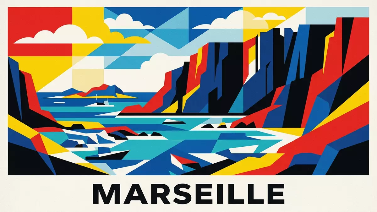
Parc national des Calanques stretches along the Mediterranean coast near Marseille, where pale limestone cliffs drop abruptly into intensely coloured coves and open sea. Created as France’s tenth national park in 2012, it protects both a rugged coastal massif and the surrounding marine waters in Bouches-du-Rhône in southern France.Mediterranean limestone cliffs
A peri-urban national park of rock, sea and islands
Parc national des Calanques occupies a coastal strip between the urban districts of southern Marseille and the neighbouring communes of Cassis and La Ciotat, with the nearest major city being Marseille itself.Location between Marseille, Cassis and La Ciotat It is described as both terrestrial and marine because its core terrestrial area covers thousands of hectares of coastal hills and its core marine area extends across tens of thousands of hectares of Mediterranean waters.Terrestrial and marine core zones
Unlike many national parks that lie far from major cities, Parc national des Calanques runs directly up against the Aix-Marseille Provence metropolitan area and is recognised as a peri-urban national park in Europe with this combined land-and-sea character.Peri-urban national park status Within its boundaries are the calanques of Marseille and Cassis, offshore island groups such as the Frioul and Riou archipelagos, as well as coastal massifs like Cap Canaille and the Saint-Cyr range, forming a continuous protected landscape of cliffs, coves and islands.
Limestone geology shaped over millions of years
The landscape of Parc national des Calanques is dominated by white limestone, particularly urgonian-type limestone that is compact and rich in fossil material. This rock began as marine sediment at the bottom of a warm sea during the Mesozoic era, including the Jurassic and Cretaceous periods, when the skeletons and shells of marine organisms accumulated and were transformed into thick limestone layers.Urgonian limestone and fossils
During the Cenozoic era, tectonic movements associated with the collision of the African and Eurasian continental plates caused these limestone formations to rise, fold and fracture, lifting them above sea level and creating the massifs that now frame the coves and headlands. Other rock types appear in the wider park, including sandstone and “poudingue”, a conglomerate composed of pebble debris bound together, particularly in ranges such as Saint-Cyr where dolomitic and sandy limestone also form part of the relief.Sandstone and poudingue formations
From protected sites to a national park in 2012
Parc national des Calanques was formally created on 18 April 2012 by decree signed by the French Prime Minister, making it the tenth national park in France and bringing together previously listed coastal and marine sites under a single protection framework.Creation on 18 April 2012 Before this designation, parts of the massif and adjacent sea had been individually classified from the 1930s onwards, including state forests, specific calanques and capes, and the Riou archipelago recognised as a national biological reserve.
The national park’s terrestrial core includes areas within the communes of Marseille, Cassis and La Ciotat, while its marine core spreads into the surrounding Mediterranean, with additional adhesion zones and adjacent maritime areas extending the protected influence along around 80 km (about 50 mi) of coastline.Extent of the protected coastline The headquarters address at Avenue du Prado in Marseille underlines how closely the governance of the park is tied to the city whose urban fabric meets its rocky slopes.National park headquarters in Marseille
Visiting Parc national des Calanques: what travellers from Western Europe should know
- Parc national des Calanques lies south of central Marseille and is reached from the city, Cassis and La Ciotat by local roads and public transport links to trailheads and waterfronts.
- Many approaches involve walking on rocky paths, with uneven limestone underfoot and slopes that can be steep in places, so sturdy footwear and readiness for a coastal hike are important.
- In summer, Mediterranean heat combines with reflective pale rock, and shaded sections can be limited along exposed ridges and coves, making sun protection and water essential on longer walks.
- The official language is French and the currency is the euro.
- Entry requirements depend on your nationality; UK travellers can check the FCDO travel advice at gov.uk/foreign-travel-advice, Irish travellers the Department of Foreign Affairs at ireland.ie.
Searching for Parc national des Calanques on social platforms
These links open searches for Parc national des Calanques on each platform.
Frequently asked questions about Parc national des Calanques
Where is Parc national des Calanques located?
Parc national des Calanques is on the Mediterranean coast in Bouches-du-Rhône in southern France, close to Marseille and extending towards Cassis and La Ciotat.
What should visitors expect on a visit?
Visitors encounter limestone massifs, narrow coves, offshore islands and Mediterranean sea, with many routes involving walking on rocky paths and exposed coastal terrain.
What makes Parc national des Calanques distinctive?
Parc national des Calanques is distinctive as a peri-urban national park that combines extensive terrestrial and marine protected areas, bringing cliffs, coves and islands together beside a major city.


