
Parc national des Calanques and its limestone coast
Published on 09/14/2026 at 20:27 | Editorial responsibility: Rafael Müller, Editor-in-Chief AD HOC NEWS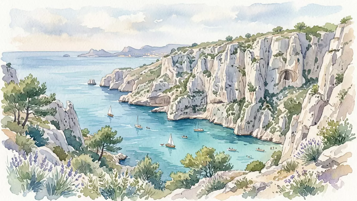
Parc national des Calanques on the Mediterranean coast south of Marseille is a protected landscape where pale limestone cliffs drop sharply into narrow inlets of deep blue water. Created as a French national park in 2012, it brings together rugged coastal massifs, offshore islands and marine habitats in a single peri-urban reserve framed by the city and the sea.
Limestone cliffs, coves and offshore islands
Parc national des Calanques is defined by the calanques themselves, a succession of steep-sided inlets cut into white limestone along the coast between Marseille, Cassis and La Ciotat.succession of inlets The rock forms high walls and broken ridges that frame narrow strips of shoreline and small bays, giving many coves a fjord-like appearance under the Mediterranean light. Inland, jagged summits and plateaus of the Massif des Calanques rise behind the coast, with sparse vegetation clinging to fissures and ledges.
The park includes not only the coastal cliffs but also several island groups off Marseille, such as the Frioul and Riou archipelagos, together with other coastal massifs including Cap Canaille and the Saint-Cyr range.Frioul and Riou archipelagos These islands extend the limestone scenery offshore, with low cliffs, rock platforms and sea stacks surrounded by clear water. Across the terrestrial heart of the park, thousands of hectares of rocky ground are cut by dry valleys and ravines, giving hiking paths varied views over ridges, coves and the open sea.
A peri-urban national park of land and sea
Parc national des Calanques was formally established on 18 April 2012 as the tenth national park in France, covering parts of the Bouches-du-Rhône department in the Provence-Alpes-Côte d’Azur region.created on 18 April 2012 In its present form the park is both terrestrial and marine, with a land core of around 8,500 hectares and a much larger marine core that protects extensive coastal waters.land and marine core It is described administratively as peri-urban because its boundaries touch the southern districts of Marseille while extending across neighbouring communes.
The land core of Parc national des Calanques spans parts of Marseille, Cassis and La Ciotat, while the wider adhesion area includes sections of Marseille, Cassis and La Penne-sur-Huveaune.Marseille, Cassis and La Ciotat Offshore, the park’s adjacent maritime area covers tens of thousands of hectares of coastal water, with roughly 80 kilometres of shoreline under protection.80 kilometres of shoreline Regulations in these zones set rules for navigation and fishing, giving the park a strong marine dimension alongside its cliffs and hiking terrain.
Biodiversity, geology and paths through the massifs
The limestone geology of Parc national des Calanques, shaped by erosion and sea contact over long periods, creates a mix of cliffs, scree slopes and karst features that support Mediterranean vegetation adapted to dry, rocky conditions.Mediterranean vegetation on limestone Low shrubs, aromatic plants and hardy grasses occupy cracks and ledges, while trees are scattered where soil has accumulated in hollows. The broken relief offers habitats for birds associated with cliffs and the sea, and the transition from rock to water supports communities of marine life close to the shore.
Visitors encounter the terrain on marked paths that wind through the massifs, dropping into calanques or climbing to viewpoints above the sea. The approaches often involve stony tracks, sections of exposed rock and occasional steep gradients, with routes crossing dry valleys or contouring around coves. Away from the cliffs themselves, broader tracks link upland areas, giving longer circuits across the protected landscape between Marseille’s outskirts and the coastal villages to the east.protected landscape between Marseille and Cassis
Visiting Parc national des Calanques: what travellers from Western Europe should know
- Parc national des Calanques lies south of Marseille in southern France, extending along the Mediterranean coast between Marseille, Cassis and La Ciotat; regional trains and buses link these towns with the city.
- Many approaches into the park follow uneven, sometimes steep paths over limestone rock, and some routes descend to calanques via stony tracks and stair-like sections cut into the slope.
- The terrain includes exposed coastal ridges and shaded inlets, and temperatures and conditions vary with season and weather rather than with any fixed pattern.
- The official language is French and the currency is the euro.
- Entry requirements depend on your nationality; UK travellers can check the FCDO travel advice at gov.uk/foreign-travel-advice, Irish travellers the Department of Foreign Affairs at ireland.ie.
Searching for Parc national des Calanques on social platforms
These links open searches for Parc national des Calanques on each platform.Frequently asked questions about Parc national des Calanques
Where is Parc national des Calanques located?
Parc national des Calanques is on the Mediterranean coast in Bouches-du-Rhône in southern France, spanning coastal massifs and waters between Marseille, Cassis and La Ciotat.
What can visitors expect on a visit to Parc national des Calanques?
Visitors encounter white limestone cliffs, narrow calanques with clear water, offshore islands and marked paths across rocky terrain, with views that link the sea, the massifs and nearby coastal towns.
What makes Parc national des Calanques distinctive among French national parks?
It is a peri-urban park that combines a large marine area with rugged coastal limestone scenery, bringing protected cliffs, islands and sea closer to a major city than is usual for a national park.


