
Parc nacional d'Aiguestortes and the high Pyrenees
Published on 09/16/2026 at 21:55 | Editorial responsibility: Rafael Müller, Editor-in-Chief AD HOC NEWS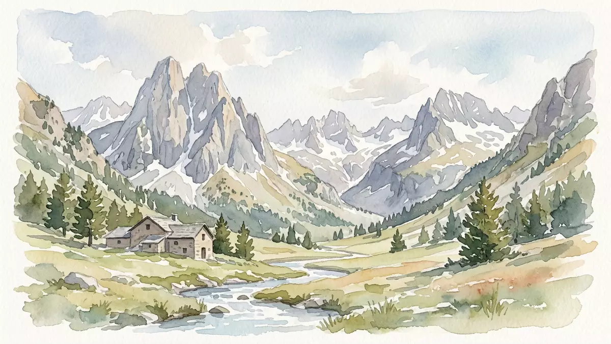
Parc nacional d'Aiguestortes rises in the Pyrenees as a landscape of granite, water and sharp ridges. Its administrative base is in Boí, and the park was created by decree on 21 October 1955.
A Pyrenean park of water and rock
The park’s terrain is defined by altitude, lakes and steep mountain forms. Its surface reaches from 1,200 m to 3,029 m at Comaloforno, and the site includes more than 200 estanys.
The official park material presents the area as a meeting of granite and limestone, with the Sant Maurici lake and the Encantats massif as a visual marker. Sant Maurici lake and the Encantats massif anchor the park’s image more than any single building or monument.
Boí, the park’s administrative base
Boí gives the park a practical point of reference in the Vall de Boí. The park office stands at Ca de Simamet on C/ de les Graieres, and Boí also appears as one of the main gateways into the area.
The park extends across several municipalities in Alta Ribagorça, Pallars Sobirà, Pallars Jussà and Vall d’Aran. Boí and Espot frame the best-known access points, while the park’s altitude keeps every route tied to mountain terrain rather than town streets.
1955 and the park’s protected status
Parc nacional d'Aiguestortes was declared a national park by decree on 21 October 1955. That date places it among the protected landscapes of post-war Spain, while its natural character remains tied to the high Pyrenees.
The park is the only national park in Catalonia, and it covers 40,852 hectares in total. 21 October 1955 and the park’s 40,852 hectares are the core markers of its formal identity.
Visiting Parc nacional d'Aiguestortes: what travellers from Western Europe should know
- The administrative address is in Boí, in the Vall de Boí, while Espot is the other main gateway named for the park. Motor access inside the park is restricted in part of the area.
- The park sits in high mountain terrain. Paths, ridges and approaches vary with altitude, and the site includes peaks above 3,000 m.
- English is not an official language in the park’s setting. The official language is Catalan and the currency is the euro.
- Boí and Espot are the names most closely tied to access and orientation. The park also spans several municipalities across the Alta Ribagorça, Pallars Sobirà, Pallars Jussà and Vall d’Aran.
Searching for Parc nacional d'Aiguestortes on social platforms
These links open searches for Parc nacional d'Aiguestortes on each platform.
Frequently asked questions about Parc nacional d'Aiguestortes
Where is Parc nacional d'Aiguestortes?
It lies in the Pyrenees of Catalonia, with Boí and Espot as the most useful place names for orientation. The park stretches across several municipalities in the Alta Ribagorça, Pallars Sobirà, Pallars Jussà and Vall d'Aran.
What does a visit involve?
The park is a high mountain landscape of lakes, ridges and valleys rather than an urban sightseeing circuit. Boí is the administrative base, and access points are tied to mountain routes and gateways.
What makes it distinctive?
Its combination of granite, high altitude and water is the defining feature. The park’s identity also rests on the Sant Maurici lake, the Encantats massif and its 1955 declaration as a national park.


