
Pamir Highway through Chorugh, Tajikistan’s mountain crossroads
Published on 09/08/2026 at 18:08 | Editorial responsibility: Rafael Müller, Editor-in-Chief AD HOC NEWS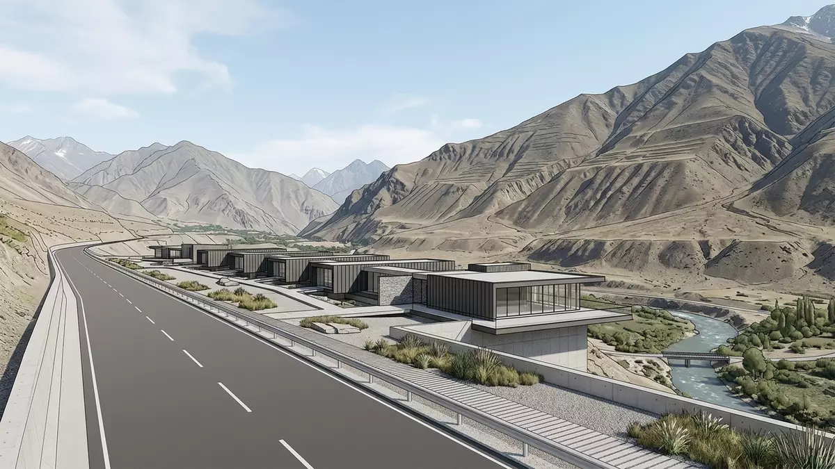
The Pamir Highway, officially designated as part of the M41, pulls the town of Chorugh in eastern Tajikistan into the centre of one of Central Asia’s most dramatic mountain corridors. Crossing the Pamir Mountains at high altitude, the road links Osh in Kyrgyzstan with Dushanbe and passes through the Gorno-Badakhshan Autonomous Region, giving Chorugh a role as a key stop between river valleys, high plateaux and remote settlements.
A high-mountain road and a river town
The Pamir Highway is a long-distance road that runs across the Pamir range and forms one of the main arteries of eastern Tajikistan’s Gorno-Badakhshan Autonomous Region.a part of the M41 In this mountainous region the route reaches altitudes above 4,000 m (13,123 ft), with high passes such as Ak-Baital on the way to Murghab, and connects Kyrgyzstan with the Tajik capital Dushanbe through a sequence of valleys and uplands.Duschanbe, Chorugh and Osh
Chorugh, often written Khorog, stands in eastern Tajikistan near the border with Afghanistan, where the highway follows the Panj river before turning along the Ghunt river towards the interior of the Pamirs.the Panj river valley and the Ghunt river The town serves as the administrative centre of Gorno-Badakhshan and lies at an elevation of around 2,200 m (7,217 ft), so the road here drops below the surrounding ridges and runs close to the riverside quarters and bridges.
Chorugh as crossroads on the Pamir Highway
On maps of the Pamir Highway, Chorugh appears as a junction where the western section towards Dushanbe meets the eastern stretch towards Murghab and Osh.running from Osh to Khorog to Dushanbe This position makes the town a natural staging point for journeys into the higher plateaux to the east or along the Panj river towards the Wakhan Corridor, while still remaining linked by road to the rest of Tajikistan.
Within Chorugh itself, the Pamir Highway functions as a main street along the valley floor, passing markets, administrative buildings and residential districts built in the traditional style of the Pamir region.Chorugh as administrative centre with Pamir houses Travellers tracing the route between Osh and Dushanbe often break their journey here, where the river landscape, the road and the town’s role as regional capital come together in a single view from the valley.
Landscape, altitude and road character
East of Chorugh the highway climbs from the Ghunt river gorge to the high plateau around Murghab and the Ak-Baital Pass, reaching altitudes above 4,600 m (15,092 ft) and crossing barren uplands framed by distant ranges.from Khorog across the plateau to Murghab Westwards, the route follows lower valleys towards Dushanbe, tracing river courses and mountain slopes that carry traffic between the Pamirs and the rest of the country.connecting Dushanbe with Osh
The geography gives the Pamir Highway around Chorugh a particular character: a paved road threading through a steep-sided valley, with rocky slopes above and water running beside it. In places the carriageway sits close to the river, while elsewhere it climbs slightly into terraces where villages and small fields lie between slopes and riverbank. Snow covers the higher mountains in winter, while the valley around Chorugh shows trees, gardens and traditional houses.
Visiting Pamir Highway: what travellers from Western Europe should know
- The segment of the Pamir Highway around Chorugh lies in eastern Tajikistan, in the Gorno-Badakhshan Autonomous Region near the border with Afghanistan; approaches by road link it westwards with Dushanbe and eastwards with Murghab and Osh.
- The terrain along the highway combines steep valley sides, river gorges and high passes, with sections of the route crossing altitudes well above 3,000 m (9,843 ft); travellers encounter paved stretches and mountain road conditions, with gradients and curves typical of highland routes.
- Chorugh is an administrative centre of Gorno-Badakhshan and forms a practical base along the Pamir Highway, with the road passing close to riverside quarters where bridges, markets and public buildings cluster on the valley floor.
- The official language is Tajik and the currency is the Tajik somoni.
- Entry requirements depend on your nationality; UK travellers can check the FCDO travel advice at gov.uk/foreign-travel-advice, Irish travellers the Department of Foreign Affairs at ireland.ie.
Searching for Pamir Highway on social platforms
These links open searches for Pamir Highway on each platform.Frequently asked questions about Pamir Highway
Where is the Pamir Highway segment around Chorugh?
It lies in eastern Tajikistan’s Gorno-Badakhshan Autonomous Region, where the road follows the Panj river and then the Ghunt river close to the town.
What should travellers expect on a visit to this part of the Pamir Highway?
Travellers encounter a high-altitude road through river valleys and steep mountains, with Chorugh providing a town base among traditional houses and public buildings along the valley floor.
What makes the Pamir Highway at Chorugh distinctive?
The combination of a long-distance mountain route, a regional capital at around 2,200 m (7,217 ft) and the meeting of river valleys and high passes makes this stretch a notable crossroads in the Pamirs.


