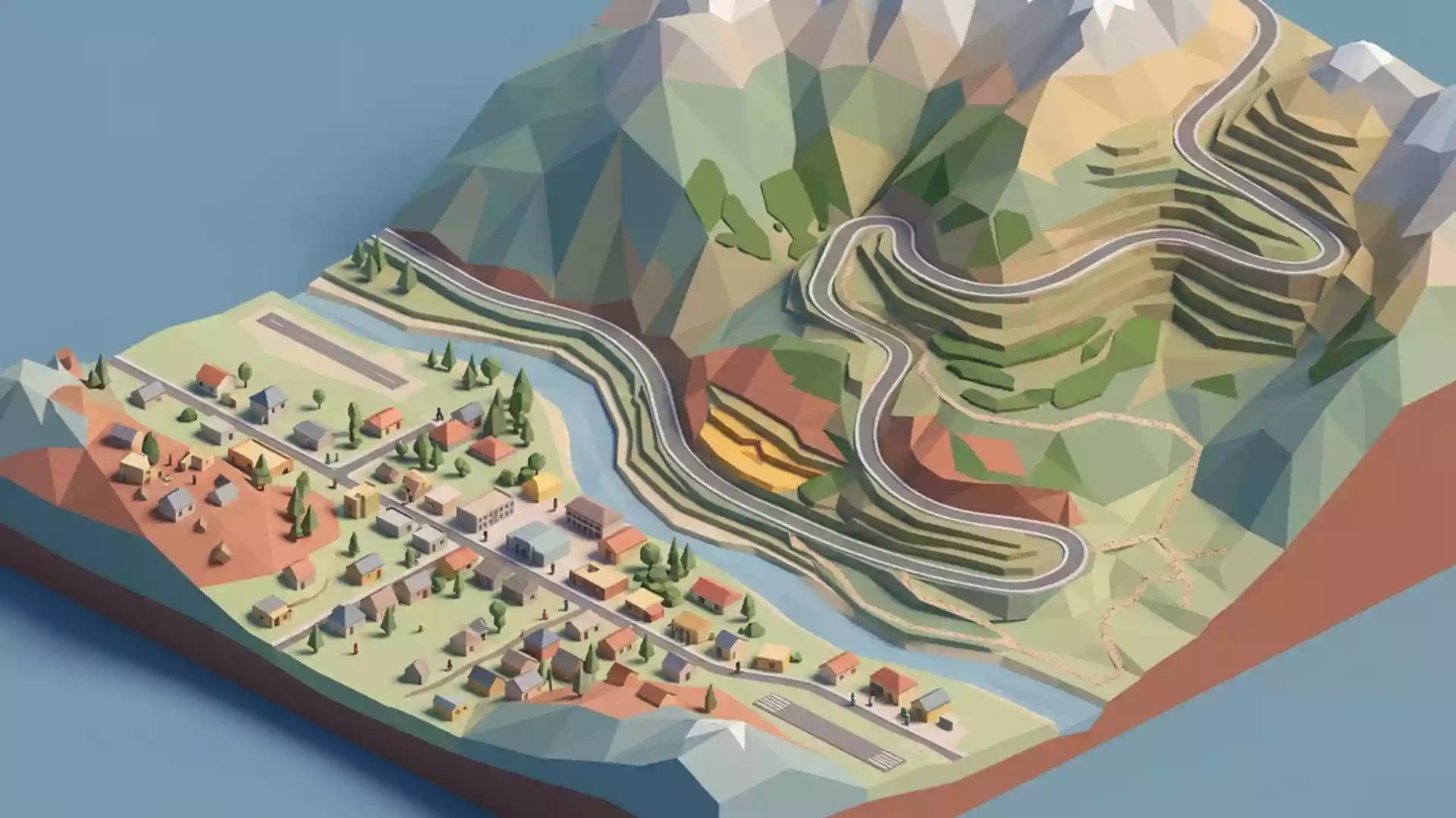
Pamir Highway through Chorugh’s high mountain corridor
Published on 09/02/2026 at 11:35 | Editorial responsibility: Rafael Müller, Editor-in-Chief AD HOC NEWS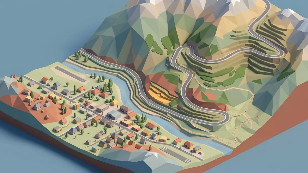
Pamir Highway, officially designated as the M41, threads the eastern mountains of Tajikistan and passes directly through the town of Chorugh in the Gorno?Badakhshan Autonomous Region. Here the road, the river valleys and the surrounding ridges form a single high?altitude corridor that connects Soviet?era engineering with the daily life of a remote regional capital.
A mountain road between river valleys and ridges
The Pamir Highway crosses the Pamir mountain range in Central Asia, linking parts of Afghanistan, Uzbekistan, Tajikistan and Kyrgyzstan along a route of more than 1,200 km (745 mi).crosses the Pamir mountain range In Tajikistan it serves the Gorno?Badakhshan Autonomous Region and runs through Chorugh, which stands near the border with Afghanistan along the Panj river.segment near Chorugh in eastern Tajikistan
The highway follows river valleys for much of its length, taking advantage of the rare flat ground between steep slopes and high ridges. Around Chorugh it traces the course of the Panj river before turning along the Ghunt river, so that road, water and settlement occupy the same narrow strip of land.follows the Panj river valley before turning east along the Ghunt river The setting makes the Pamir Highway around Chorugh a continuous sequence of bends, bridges and short straight stretches framed by bare slopes and occasional terraces.
From imperial track to Soviet mountain road
In the nineteenth century, Russian imperial authorities extended a military road towards Khorog, as Chorugh is also known, establishing a frontier post on the Panj river during the period often labelled the Great Game.extended until Khorog located on the banks of the river Panj This early track followed caravan routes across passes and river terraces, providing a basic connection through terrain that had previously been reached by pack animals.early route extended to Khorog by the end of the nineteenth century
In the 1930s the Soviet Union built a continuous high?mountain highway across the Pamirs, turning these earlier tracks into the M41 road that is still in use.mostly built by the Soviet Union in the 1930s By 1937 the section between Osh and Khorog was completed, and in 1940 the final stretch between Khorog and Dushanbe opened, giving Chorugh a central position on a through route between Kyrgyzstan and the Tajik capital.section between Osh and Khorog completed in 1937 and link to Dushanbe opened in 1940 The highway is also associated with the wider Silk Road network, since parts of its alignment follow trading routes that linked Central Asia with other regions.
Chorugh’s high?altitude gateway on the M41
Chorugh stands at roughly 2,200 m (7,217 ft) above sea level where the Pamir Highway leaves the Panj valley and turns along the Ghunt river, forming a junction between river corridors and higher plateaux.stands at roughly 2,200 m above sea level where the highway leaves the Panj river valley The town functions as the administrative centre of Gorno?Badakhshan, and the Pamir Highway here acts as a main street, tying together markets, official buildings and residential quarters along the valley floor.forms one of the main road arteries of the Gorno-Badakhshan Autonomous Region
The M41 connects Chorugh westwards with Dushanbe and eastwards with high passes leading towards the Kyrgyz city of Osh, making the town a midway point on a trans?Pamir journey.connects the city of Osh with Chorugh and Dushanbe Side roads branch off along valleys such as the Bartang and Wakhan, where smaller settlements line the riverbanks, and the main highway provides their connection to the regional capital.passes through Gorno-Badakhshan and Khorog The combination of high altitude, river scenery and long?distance road makes this stretch of the Pamir Highway distinct within Tajikistan.
Visiting Pamir Highway: what travellers from Western Europe should know
- The Pamir Highway section around Chorugh lies in eastern Tajikistan’s Gorno?Badakhshan Autonomous Region, and is usually approached along the M41 from Dushanbe or from Osh in Kyrgyzstan.
- The corridor carved by the highway and the rivers sits at high altitude, with steep slopes rising above the road and narrow sections where the carriageway closely follows the valley edge.
- The official language is Tajik and the currency is the Tajik somoni.
- Entry requirements depend on your nationality; UK travellers can check the FCDO travel advice at gov.uk/foreign-travel-advice, Irish travellers the Department of Foreign Affairs at ireland.ie.
Searching for Pamir Highway on social platforms
These links open searches for Pamir Highway on each platform.
Frequently asked questions about Pamir Highway
Where is the Pamir Highway around Chorugh?
The Pamir Highway passes through Chorugh in eastern Tajikistan’s Gorno?Badakhshan Autonomous Region, close to the border with Afghanistan, following the Panj and Ghunt river valleys.
What should travellers expect along this stretch?
Travellers encounter a high?altitude road squeezed between rivers and mountain slopes, with a townscape where the main highway doubles as the central street of the regional capital.
What makes the Chorugh section distinctive?
This section combines Soviet?era mountain road engineering, a long history as a strategic route and a setting where river valleys and ridges converge around a single corridor.