
Pamir Highway at Chorugh, Tajikistan’s high road through the Pamirs
Published on 08/16/2026 at 13:32 | Editorial responsibility: Rafael Müller, Editor-in-Chief AD HOC NEWS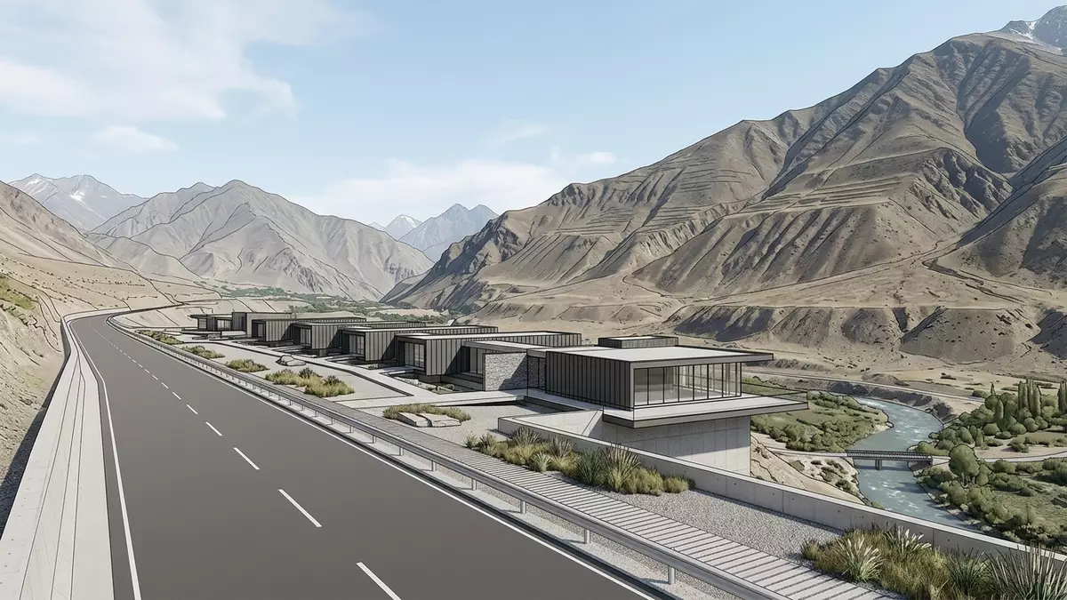
Pamir Highway is the name given to the long M41 mountain road that crosses the Pamir range in Central Asia, passing through Chorugh in eastern Tajikistan and tying the town to distant valleys and passes in the high mountains.the M41 highway Built as a strategic route in the Soviet period and aligned with much older trading paths across the Pamir, it has become one of the defining landscapes of Chorugh and of the wider Gorno-Badakhshan Autonomous Region in the late twentieth century.the Pamir Highway officially runs from Dushanbe to Osh
A mountain road that links Chorugh to the wider Pamirs
The core identity of Pamir Highway around Chorugh is simple to see on a map: it is part of a paved route signed as M41 that runs between the Tajik capital Dushanbe and the Kyrgyz city of Osh, crossing the high Pamir Mountains and threading river valleys, gorges and plateaus.a route between Dushanbe and Osh Chorugh, also written Khorog, sits in eastern Tajikistan close to the border with Afghanistan and functions as a regional centre in the Gorno-Badakhshan Autonomous Region, with the highway passing through the town before heading deeper into the high country.the road runs east from Dushanbe through Gorno-Badakhshan toward Osh
On the stretch near Chorugh, the highway follows the contours of the valley floor, keeping close to mountain slopes and riverbanks while remaining one of the main road arteries of Gorno-Badakhshan.a high-mountain road linking Chorugh with valleys and passes The road alignment reflects the geography: steep rock faces rise directly above the carriageway, with the valley opening and narrowing as the route progresses, and long views along the river corridor give a clear sense of how the highway ties scattered settlements together.
Scale, altitude and the Pamir landscape
Pamir Highway is known as one of the world’s highest international roads, with long sections running at elevations well above 3,000 m (9,843 ft) and the alignment crossing several passes that reach well over 4,000 m (13,123 ft) between Dushanbe and Osh.altitudes listed along the route from Dushanbe to Osh Although Chorugh itself lies lower than the highest plateau sections, the town sits at mountain altitude, and travel along the highway involves a steady progression from cultivated valley floors to bare high plateaus with sparse vegetation and wide horizons.
To the east of Chorugh the route climbs towards upland basins such as the landscapes around Bulunkul and Alichur and then continues towards Murghab and high passes including Ak-Baital, eventually reaching the Kyrgyz border near Karakul and onward to Sary Tash and Osh.the road runs via Khorog, Alichur, Murghab, Karakul and Sary Tash Between Chorugh and these upland areas, some travellers follow the highway’s main alignment, while others take the side route through the Wakhan Valley along the Afghan border, rejoining the highway further east at Khargush Pass and the plateau beyond.journeys that begin in Osh and end in Khorog
Chorugh’s role along the highway
Chorugh is not only a town on the map; it is a hub that anchors Pamir Highway in eastern Tajikistan and gives the road a clear human centre in Gorno-Badakhshan.Chorugh is the capital of the autonomous region The town sits near the confluence of local valleys, with the highway entering from the direction of Dushanbe and Kalaikhum and leaving towards Murghab, making Chorugh a place where road traffic, local markets and administrative functions converge.
For long-distance travellers, Chorugh commonly acts as a staging point for further travel along the highway, whether towards the Wakhan Valley and Alichur or onto Murghab and the border region on the approach to Osh.Khorog as the regional capital and main base for the route The town’s position in the valley, with rivers, bridges and terraces visible from the road, underlines how the highway serves both as a long-distance trunk route and as a local access road that supports daily life in the region.
Visiting Pamir Highway: what travellers from Western Europe should know
- Pamir Highway passes through eastern Tajikistan’s Gorno-Badakhshan Autonomous Region, with Chorugh lying on the route; road approaches from Dushanbe and Osh connect this segment to the wider network.
- The road near Chorugh follows a mountain valley with steep slopes and sections of broken surface; travellers can expect prolonged driving at altitude and stretches where the carriageway narrows beside drops or riverbanks.
- The official language is Tajik and the currency is the Tajik somoni.
- Entry requirements depend on your nationality; UK travellers can check the FCDO travel advice at gov.uk/foreign-travel-advice, Irish travellers the Department of Foreign Affairs at ireland.ie.
Searching for Pamir Highway on social platforms
These links open searches for Pamir Highway on each platform.Frequently asked questions about Pamir Highway
Where is Pamir Highway in relation to Chorugh?
Pamir Highway forms part of the M41 route through eastern Tajikistan, crossing Gorno-Badakhshan and passing through Chorugh near the Afghan border.
What should travellers expect when driving this section?
The Chorugh stretch is a high-altitude mountain road following a narrow valley, with long distances between towns, variable surface conditions and steep slopes above and below the carriageway.
What makes the Pamir Highway around Chorugh distinctive?
This segment combines a strategic Soviet-era road with older Pamir trading paths, linking a remote regional capital to plateaus, passes and river valleys in one continuous mountain route.


