
Pamir Highway at Chorugh: a mountain road between rivers and ridges
Published on 09/04/2026 at 17:21 | Editorial responsibility: Rafael Müller, Editor-in-Chief AD HOC NEWS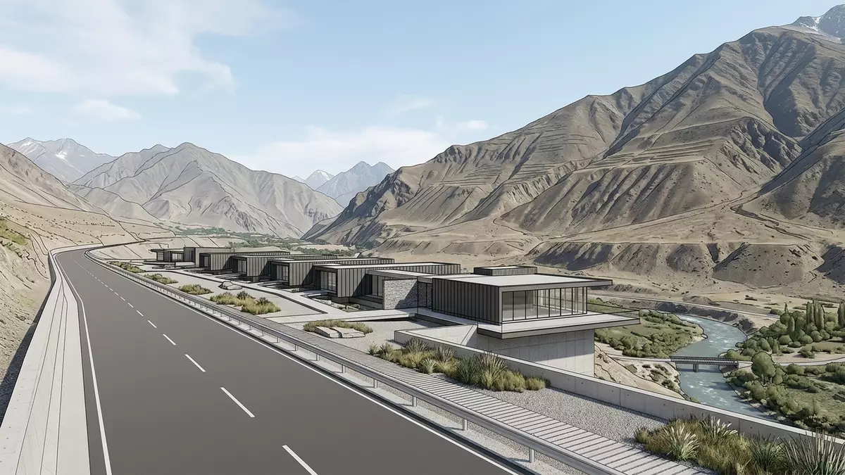
Along the high spine of eastern Tajikistan, the road widely known as the Pamir Highway meets Chorugh and momentarily becomes a lived-in townscape of rivers, gardens and low houses between mountains. Here the long-distance M41 route, crossing the Pamir range between Tajikistan and Kyrgyzstan, passes through the capital of the Gorno-Badakhshan Autonomous Oblast and follows the valley towards the higher plateau.M41 highway
A high-altitude town on the Pamir Highway
Chorugh, often written Khorog or Khorugh in English, is a small city in eastern Tajikistan where the Pamir Highway leaves the Panj valley and turns east into the Ghunt valley.situated along the Pamir Highway It stands close to the border with Afghanistan in the southwestern Pamirs, at an elevation of about 2,200 m (7,200 ft) above sea level, which makes it one of the highest cities in Tajikistan.elevation of 2,200 m
The town is the administrative centre of the Gorno-Badakhshan Autonomous Oblast, often abbreviated to GBAO, and has a population in the tens of thousands.capital of GBAO Chorugh lies where the Ghunt River meets the Panj, on narrow terraces above the confluence, with steep slopes rising immediately behind the built-up area.confluence of the Ghunt and Shohdara rivers Low-rise houses, small shops and administrative buildings line the highway and side streets, giving a sense of a remote but functioning regional centre surrounded by high ground.
Rivers, gardens and everyday life between ridges
The Pamir Highway reaches Chorugh along the Panj valley, following the river that marks much of the border between Tajikistan and Afghanistan, before the road and town turn towards the Ghunt valley upstream.crosses the whole Pamir region Within the town, bridges link the terraces on either side of the water, and riverside walks give views across to Afghan villages on the far bank and up to bare ridges above.
Chorugh’s status as the main town on this section of the highway brings features that stand out in the surrounding mountain region. Travellers encounter tree-lined streets, markets and accommodation, and there is a botanical garden on the slopes above the town, laid out during the Soviet period and covering a large area at altitude.botanical garden Everyday life here has long been shaped by the road and the rivers together, with vehicles, shared transport and pedestrians moving along the valley floor while water channels irrigate small plots and orchards.
Chorugh as a junction on the long mountain road
In geographical terms Chorugh sits roughly midway between the Tajik capital Dushanbe and the Kyrgyz city of Osh along the M41, with the highway continuing east across the high Pamir plateau towards Murghab and then Osh.approximately halfway between Dushanbe and Osh From Chorugh, one branch of the route runs north-east through a deep mountain gorge towards Murghab, while another follows the Vakhan corridor along the Panj and past historic sites and traditional villages.branches out: the northern road goes along a deep mountain gorge
This position makes Chorugh a practical gateway to the wider Pamir region as well as a turning point on long itineraries. The town is described by regional operators as the largest settlement on the mountain road and a place where routes towards Bartang, Vakhan, Murghab and back to Dushanbe meet and diverge.roads toward Wakhan, Bartang, Murghab For overland travel between Central Asian countries, the M41 through Chorugh has its roots in Soviet road-building across the Pamirs and remains the main asphalt connection through GBAO.road traversing the Pamir Mountains
Visiting Pamir Highway: what travellers from Western Europe should know
- Chorugh lies in eastern Tajikistan near the border with Afghanistan, on the Ghunt and Panj rivers; the Pamir Highway links it westwards with Dushanbe and north-eastwards with Murghab and Osh.
- The town stands at around 2,200 m (7,200 ft) in a deep mountain valley, so streets and paths often climb steeply from the river terraces towards the surrounding slopes.
- Chorugh is within Tajikistan’s Gorno-Badakhshan Autonomous Oblast; the official language is Tajik and the currency is the Tajik somoni.
- Roads from Chorugh branch towards the Vakhan corridor, Bartang valley and the high plateau around Murghab, all of which involve long stretches through remote mountain terrain.
- Entry requirements depend on your nationality; UK travellers can check the FCDO travel advice at gov.uk/foreign-travel-advice, Irish travellers the Department of Foreign Affairs at ireland.ie.
Searching for Pamir Highway on social platforms
These links open searches for Pamir Highway on each platform.Frequently asked questions about Pamir Highway
Where is Chorugh on the Pamir Highway?
Chorugh is in eastern Tajikistan, near the border with Afghanistan, at the point where the Pamir Highway leaves the Panj valley and enters the Ghunt valley.
What should travellers expect on a visit to Chorugh?
Travellers find a small high-altitude city with riverside terraces, markets and basic services, surrounded by steep slopes and connected by road to remote valleys and the Pamir plateau.
What makes Chorugh distinctive along the Pamir Highway?
Chorugh is distinctive as the administrative capital of GBAO, a junction for routes towards Vakhan and Murghab, and one of the highest cities on the long mountain road.


