
Otaru Unga and the stone warehouses of Hokkaido’s port city
Published on 08/16/2026 at 14:11 | Editorial responsibility: Rafael Müller, Editor-in-Chief AD HOC NEWS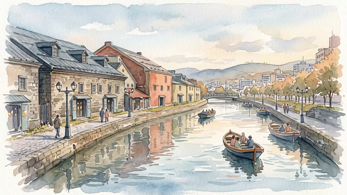
Otaru Unga in the port city of Otaru on Hokkaido is a curving canal lined with stone warehouses and a waterfront promenade that keeps the city’s maritime past in view. Completed in 1923 after nearly a decade of coastal land reclamation that began in 1914, it traces the edge of the old harbour where barges once carried cargo between anchored ships and the shore. Today the canal, its bridges and its warehouse facades form one of Otaru’s most recognisable historic streetscapes.
A canal carved from the coastline
Otaru developed as a key port for Hokkaido in the late nineteenth and early twentieth centuries, serving shipping routes that linked the island to the rest of Japan and to nearby territories. As trade expanded through Otaru Port, the original shoreline became crowded with barges and cargo handling areas, creating pressure on space along the waterfront.As trade through the port increased the city authorities turned to reclamation to reshape the harbour edge.
From 1914 a series of narrow artificial islands was created parallel to the existing shore, forming a sheltered waterway between the islands and the mainland.That reclamation project ran from 1914 to 1923 and produced a canal about 40 m (131 ft) wide that curved along the line of the old coast. New warehouses were built on the reclaimed land and linked to the city by bridges, while the waterway itself provided mooring space for barges serving larger cargo ships in the bay.The water surface between the original wharf and the artificial island became commonly known as the Otaru Canal
Stone warehouses and a working waterfront turned historic district
The banks of Otaru Unga are lined with stone and brick warehouses that once stored goods arriving through the port. Many of these waterfront buildings date from the Meiji and Taisho periods and give the canal its distinctively industrial character, with thick walls, rows of small windows and gabled roofs facing the water.Otaru Port played an important role as the gateway to Hokkaido from the Meiji period through the early Showa period
As larger cargo ships began to use improved wharves in the harbour in the 1930s, barge traffic on the canal declined and the waterway gradually lost its logistical role.In 1937 a new wharf allowed ships to dock and unload without using barges Over the following decades, silt and debris accumulated and plans emerged to fill in the canal and replace it with a road. Local residents organised campaigns to preserve the waterway and the historic warehouses, and a compromise reached in the 1980s kept part of the canal while allowing a road project on the remainder.Half of the original canal was filled in for a road, while the remaining section was retained as the Otaru Canal in its present form
Walking the modern canal promenade
The preserved section of Otaru Unga stretches for over a kilometre through central Otaru, with a stone-paved promenade along the inland side and the line of warehouses between the path and the city streets.Otaru Unga was a central part of the city’s busy port in the first half of the twentieth century The waterway follows a gentle curve rather than a strict straight line, reflecting its origin along the reclaimed coastline.Unlike inland canals excavated from scratch, it was formed by reclaiming sea along the harbour front
Stone embankments, mooring posts and bridges underline the canal’s origins as working infrastructure, while restored warehouse facades house a mixture of venues that face the water. Along the promenade, lines of lamps pick out the curve of the canal after dark, and low walls allow direct views across the water to the warehouse fronts. The combination of industrial masonry, calm water and close-set buildings gives this stretch of Otaru a compact historic atmosphere distinct from the surrounding streets.
Visiting Otaru Unga: what travellers from Western Europe should know
- Otaru Unga runs through central Otaru on the western side of Hokkaido, a short walk from Otaru Station on the JR Hakodate Main Line and close to the harbour.
- The promenade beside the canal is paved and mostly level, with occasional steps near bridge approaches and warehouse entrances.
- The waterfront faces the Sea of Japan side of Hokkaido, and in winter snow can settle along the quays and paths beside the canal.
- Japanese is the official language and the currency is the Japanese yen.
- Entry requirements depend on your nationality; UK travellers can check the FCDO travel advice at gov.uk/foreign-travel-advice, Irish travellers the Department of Foreign Affairs at ireland.ie.
Searching for Otaru Unga on social platforms
These links open searches for Otaru Unga on each platform.
Frequently asked questions about Otaru Unga
Where is Otaru Unga?
Otaru Unga is in the city of Otaru on the western coast of Hokkaido in northern Japan, running close to the harbour and central railway station.
What is there to see along the canal?
Visitors find a paved promenade, stone embankments, bridges and rows of historic stone and brick warehouses facing the water, together forming Otaru’s characteristic canal-side streetscape.
What makes Otaru Unga distinctive?
Its origin in early twentieth-century harbour reclamation, completion in 1923 and preserved warehouse-lined banks set it apart from inland canals excavated as straight waterways.


