
Nyerere National Park and the broad sweep of Selous
Published on 09/04/2026 at 21:56 | Editorial responsibility: Rafael Müller, Editor-in-Chief AD HOC NEWS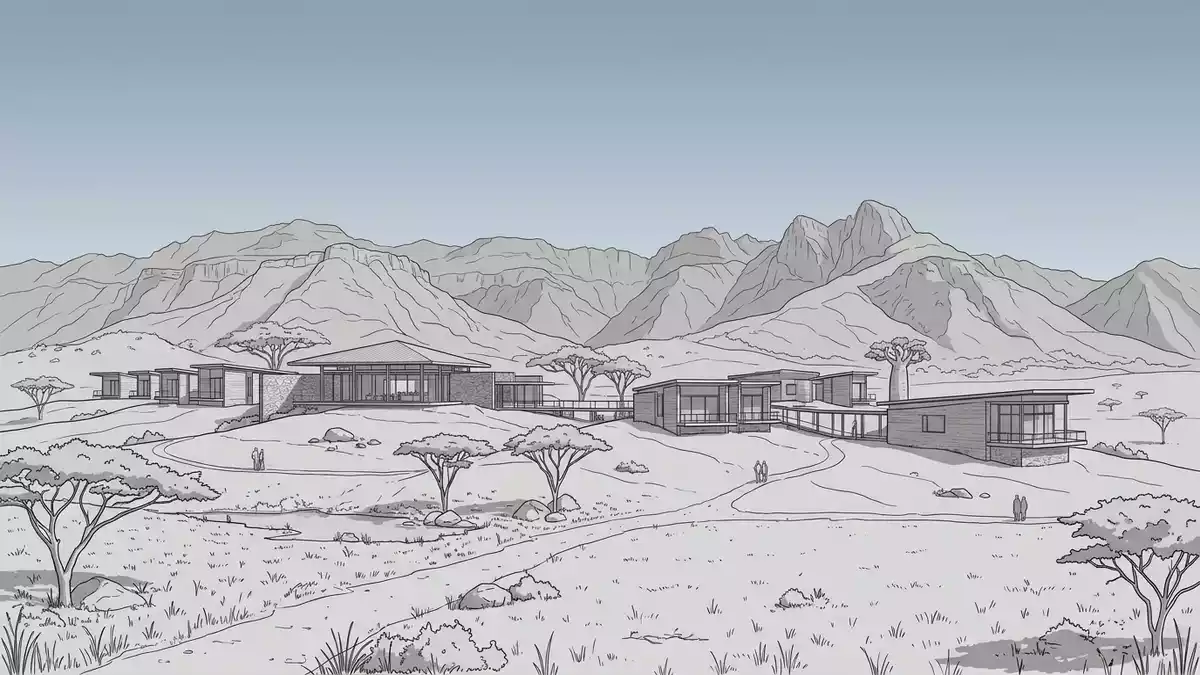
Nyerere National Park in southern Tanzania is a vast landscape of rivers, wetlands, open plains and woodland. It belongs to the Morogoro region and was established in 2019 from the northern sector of Selous Game Reserve.
The scale of Nyerere National Park
The park covers 30,893 km² (11,928 sq mi), a figure that places it among the largest protected areas in Africa. Its name honours Julius Nyerere, Tanzania’s first president, and the park’s identity is tied to the Selous landscape that preceded it.
30,893 square kilometres gives the park its best-known dimension. The number is matched by a landscape that stretches across river corridors, wet ground and broad wooded tracts.
From Selous country to a national park
The park’s modern form emerged from the northern part of the historic Selous Game Reserve. That reserve was established in 1922 and later became part of Tanzania’s conservation story, before the park took shape as a separate national park in 2019.
Julius Nyerere’s name gives the place a political and historical anchor. The connection links the park to the post-independence era of Tanzania, while the Selous reference keeps the older conservation geography in view.
Rivers, wetlands and woodland
Nyerere National Park is not a single-feature park. Its character comes from the meeting of water and dry ground, where river systems cut through woodland and open country.
The Rufiji River area is part of the broader setting associated with the park, and the landscape includes wetlands, floodplain vegetation and wooded stretches. Those elements give the park its lasting identity more than any single viewpoint or monument.
Visiting Nyerere National Park: what travellers from Western Europe should know
- The park lies in southern Tanzania, in the Morogoro region. Access is usually linked to the wider road and air network serving the Rufiji area.
- The terrain is dominated by river corridors, wetlands and woodland. Travel across the park depends on unpaved tracks, water channels and broad open ground.
- The official language is Swahili and the currency is the Tanzanian shilling.
- Entry requirements depend on your nationality; UK travellers can check the FCDO travel advice at gov.uk/foreign-travel-advice, Irish travellers the Department of Foreign Affairs at ireland.ie.
Searching for Nyerere National Park on social platforms
These links open searches for Nyerere National Park on each platform.
Frequently asked questions about Nyerere National Park
Where is Nyerere National Park?
It lies in southern Tanzania and extends across part of the Morogoro region. The park is linked to the wider Selous landscape and the Rufiji River system.
What does a visit involve?
The park is a large conservation area with rivers, wetlands and woodland. Its terrain is shaped by water channels, open ground and unpaved tracks.
What makes it distinctive?
The park combines a large protected area with a name that reflects Tanzania’s modern history. Its scale and river landscape define it more than any single landmark.


