
Ngorongoro Crater and the volcanic bowl of northern Tanzania
Published on 08/20/2026 at 18:09 | Editorial responsibility: Rafael Müller, Editor-in-Chief AD HOC NEWS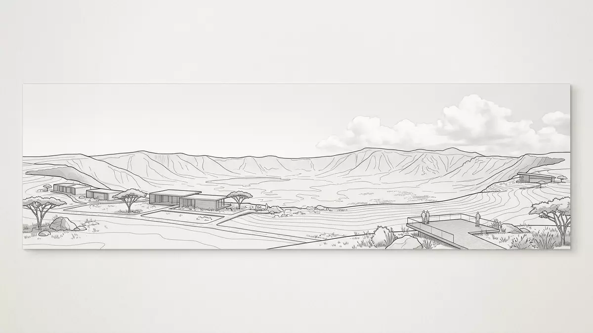
Ngorongoro Crater in northern Tanzania is a vast volcanic bowl where geology and wildlife occupy the same enclosed stage, framed by a high rim and a broad grassy floor. Rising in the Ngorongoro highlands of the East African Rift System, it sits within the Ngorongoro Conservation Area, which was established in 1959 as a multiple?use landscape for conservation and pastoral life.Ngorongoro Conservation Area
A gigantic volcanic caldera shaped by the Rift Valley
Ngorongoro Crater is a deeply eroded volcanic caldera on the eastern arm of the Great Rift Valley, formed when a large shield volcano collapsed in the Pliocene and Pleistocene phases of regional volcanism.extinct volcanic caldera The original Ngorongoro volcano belonged to a group of basaltic shield volcanoes whose activity is linked to faulting along the Eyasi Rift and the Natron?Manyara Rift in the Gregory Rift segment of the East African Rift System.Ngorongoro Volcanic Highlands
The crater forms a near?continuous ring around a floor that lies roughly 600 m (about 2,000 ft) below the surrounding rim and covers around 260 km² (about 100 sq mi).largest inactive intact caldera Elevations across the structure range from around 1,700 m on the floor to over 2,200 m on the higher parts of the rim, creating a bowl?shaped landform that is easily visible on regional topographic maps.Ngorongoro Crater elevation Within the broader Ngorongoro Volcanic Highlands, the crater sits alongside other volcanic features such as the neighbouring Olmoti and Empakaai craters and the stratovolcano Oldoinyo Lengai to the north, which together document tens of millions of years of rifting and volcanism in northern Tanzania.Ngorongoro Lengai Geopark
A conservation landscape and World Heritage site
Ngorongoro Crater lies at the heart of the Ngorongoro Conservation Area, a protected region that adjoins the south?eastern edge of Serengeti National Park and forms part of the Greater Serengeti ecosystem.Greater Serengeti ecosystem The conservation area was established under a specific ordinance in 1959, creating the Ngorongoro Conservation Area Authority to manage wildlife, natural resources and human use in the same landscape.Ngorongoro Conservation Area Ordinance 1959
Ngorongoro Conservation Area is recognised as a UNESCO World Heritage property for both natural and cultural values, reflecting its combination of volcanic landforms, diverse ecosystems and archaeological sites linked to human evolution.World Heritage recognition The crater itself has been described in geological literature as the largest unflooded and undestroyed collapse caldera of a shield volcano on Earth, marking it as a prominent geotouristic attraction within the Gregory Rift.geotouristic attraction of the Gregory Rift Within this bowl, a mix of grassland, marshes, a shallow saline lake and patches of woodland create distinct habitats, all enclosed by the steep inner walls of the caldera.
Orientation, altitude and the experience of the crater bowl
Ngorongoro Crater lies in the Ngorongoro District of the Arusha Region in northern Tanzania, west of the regional hub of Arusha and within the broader Crater Highlands belt.location of Ngorongoro Crater Its geographic coordinates are near 3°12? South and 35°30? East, placing it on the eastern margin of the Gregory Rift where the land descends towards the plains of Serengeti.crater coordinates and map
Approach roads climb from the surrounding countryside to the crater rim, reaching altitudes above 2,200 m before descending towards the floor, which lies around 1,700 to 1,800 m above sea level.crater floor elevation The contrast between the elevated rim and the enclosed basin is clear from viewpoints along the rim, where the caldera appears as a wide, shallow depression occupying tens of kilometres across and bounded by high ground on almost every side.caldera dimensions and rim height
Visiting Ngorongoro Crater: what travellers from Western Europe should know
- Ngorongoro Crater lies in northern Tanzania within Ngorongoro District in the Arusha Region, west of the city of Arusha and adjoining Serengeti National Park.
- The rim of Ngorongoro Crater rises to elevations above 2,200 m, and visits typically involve travel along steep roads and time spent at altitude on the rim and floor.
- The terrain inside the caldera combines open plains, wetlands, a shallow lake and patches of woodland, reached by vehicle tracks that descend from the forested rim.
- The official language is Swahili and the currency is the Tanzanian shilling.
- Entry requirements depend on your nationality; UK travellers can check the FCDO travel advice at gov.uk/foreign-travel-advice, Irish travellers the Department of Foreign Affairs at ireland.ie.
Searching for Ngorongoro Crater on social platforms
These links open searches for Ngorongoro Crater on each platform.
Frequently asked questions about Ngorongoro Crater
Where is Ngorongoro Crater?
Ngorongoro Crater lies in Ngorongoro District in the Arusha Region of northern Tanzania, west of Arusha and within the Ngorongoro Conservation Area.
What should visitors expect inside the crater?
Visitors encounter an enclosed volcanic basin with a mix of grasslands, wetlands, a shallow lake and woodland, all framed by steep inner walls and a forested rim.
What makes Ngorongoro Crater distinctive?
Ngorongoro Crater is a large intact volcanic caldera formed by the collapse of a shield volcano, recognised for its combination of volcanic geology, varied habitats and its setting within a wider Rift Valley landscape.


