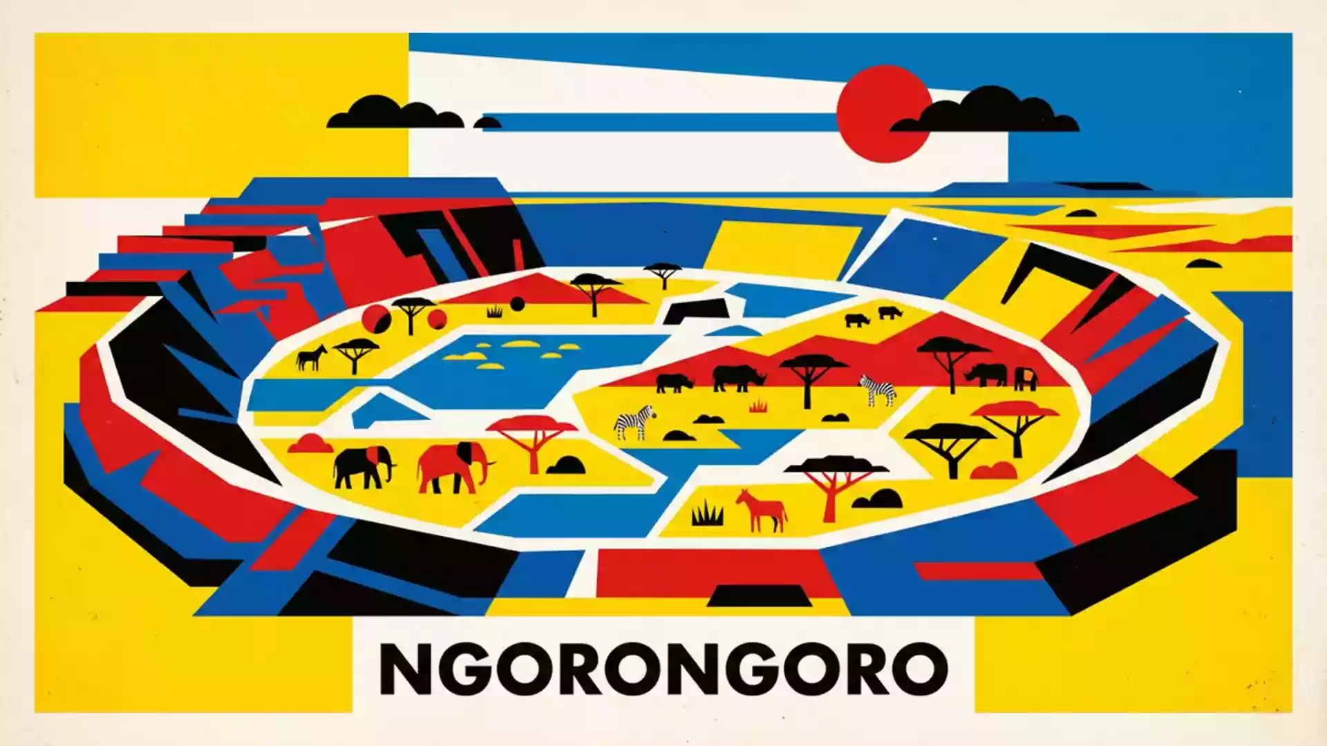
Ngorongoro Crater and its natural amphitheatre of wildlife
Published on 08/25/2026 at 14:22 | Editorial responsibility: Rafael Müller, Editor-in-Chief AD HOC NEWS
Ngorongoro Crater in northern Tanzania is a vast volcanic basin where steep, green walls enclose a single, continuous landscape of grassland, woodland and water. At the heart of the Ngorongoro Conservation Area, the crater forms an immense natural amphitheatre set within the volcanic highlands of the Great Rift Valley, given formal protection as a UNESCO World Heritage Site in 1979.World Heritage Site in 1979
A volcanic caldera on the edge of the Great Rift Valley
The defining feature of Ngorongoro Crater is its scale and completeness as a volcanic caldera, formed when an ancient volcano collapsed to leave a wide, enclosed basin. The crater’s floor spans about 260 square kilometres (100 square miles), encircled by a continuous rim that rises roughly 600 m (2,000 ft) above the plains below.measures between 16 and 19 km across The rim reaches elevations of around 2,286 m (7,500 ft) above sea level, creating a highland setting that looks down onto the grasslands within.elevation of about 3,000 m with walls around 610 m high
Geologically, Ngorongoro belongs to the chain of extinct shield volcanoes that make up the Ngorongoro Volcanic Highlands on the western flank of the Gregory Rift. The rocks around the crater include lava flows and fragmented volcanic deposits ranging from basalt to more silica-rich rhyolite, reflecting a long and varied eruptive history in the late Cenozoic era.coalescing basaltic shield volcanoes Within the wider conservation area, other volcanic features such as the neighbouring craters of Olmoti and Empakaai underline how deeply the landscape is shaped by rifting and volcanism along the Eastern Rift Valley.part of the eastern Rift Valley volcanic system
Grasslands, lakes and wildlife on the crater floor
From the viewpoints on the rim, the interior of Ngorongoro Crater appears as a patchwork of pale grassland, darker marsh and shallow lakes. The predominant surface is open short-grass savanna, broken by areas of thicker vegetation and seasonally wet ground, with a saline lake commonly known as Lake Magadi or Lake Makat occupying a low-lying section of the floor.floor is predominantly open grassland Away from the water, dust roads trace light-coloured lines across the plain, while the inner slopes carry belts of montane forest.
The crater lies within the Ngorongoro Conservation Area, a protected region of more than 8,000 square kilometres that also encompasses Olduvai Gorge and parts of the wider Serengeti ecosystem.protected region covering about 8,288 km² On the crater floor, the mixture of permanent water, vegetation and enclosed topography supports a dense concentration of large mammals, including zebra, wildebeest, buffalo and Grant’s and Thomson’s gazelles. Predators such as lion, leopard and spotted hyena live within the same bowl, and black rhinoceroses find refuge in the mosaic of grass and thicket.diverse array of animals including elephants, black rhinoceroses and lions Overhead, birds range from vultures and eagles over the rim to flocks of flamingos feeding along the margins of the lake.
Ngorongoro Conservation Area and deep human history
Ngorongoro Crater sits within the Ngorongoro Conservation Area, which combines wildlife protection with pastoral land use and a concentration of palaeoanthropological sites. The conservation area was inscribed on the UNESCO World Heritage List in 1979 for both its outstanding geology and its record of human evolution, and its boundary follows the Ngorongoro Division of Ngorongoro District in Tanzania’s Arusha Region.inscribed on the World Heritage List in 1979
To the west of the crater, Olduvai Gorge and the Laetoli area have produced some of the most important early hominin remains and footprints yet discovered. Footprints preserved in volcanic ash at Laetoli date back about 3.6 million years, while fossils from Olduvai include the early human species Homo habilis.Laetoli footprints dating back 3.6 million years Together with the crater and the surrounding volcanic highlands, these sites link Ngorongoro to both the geological processes that created the landscape and the archaeological record of hominin evolution in East Africa.
Visiting Ngorongoro Crater: what travellers from Western Europe should know
- Ngorongoro Crater lies in northern Tanzania within the Ngorongoro Conservation Area in Arusha Region, west of the regional centre of Arusha and close to the Serengeti ecosystem.
- Access to the crater usually involves approaching along the crater rim by road from lodges or camps in the highlands, then descending on steep vehicle tracks that wind down the inner slopes to the floor.
- The rim stands well over 2,000 m (6,562 ft) above sea level, so temperatures on the highlands can feel cooler than the surrounding lowlands and weather on the rim can change quickly.
- The crater floor is largely open grassland with sections of soft ground near the lake and marshes, so vehicle routes sometimes follow firm, raised tracks between wetter areas.
- The official language is Swahili and the currency is the Tanzanian shilling. Entry requirements depend on your nationality; UK travellers can check the FCDO travel advice at gov.uk/foreign-travel-advice, Irish travellers the Department of Foreign Affairs at ireland.ie.
Searching for Ngorongoro Crater on social platforms
These links open searches for Ngorongoro Crater on each platform.Frequently asked questions about Ngorongoro Crater
Where is Ngorongoro Crater?
Ngorongoro Crater lies in northern Tanzania, within the Ngorongoro Conservation Area in Arusha Region, west of the town of Arusha and close to the Serengeti ecosystem.
What can visitors expect inside the crater?
Visitors encounter a wide volcanic basin with open grassland, a shallow saline lake, marshes and belts of forest on the inner slopes, together supporting large mammals and varied birdlife.
What makes Ngorongoro Crater distinctive?
The crater is a large, intact volcanic caldera whose continuous rim encloses a self-contained landscape of grassland, water and wildlife linked to significant geological and human-evolution sites nearby.