
Namib Desert at Sossusvlei and its towering red dunes
Published on 09/14/2026 at 06:45 | Editorial responsibility: Rafael Müller, Editor-in-Chief AD HOC NEWS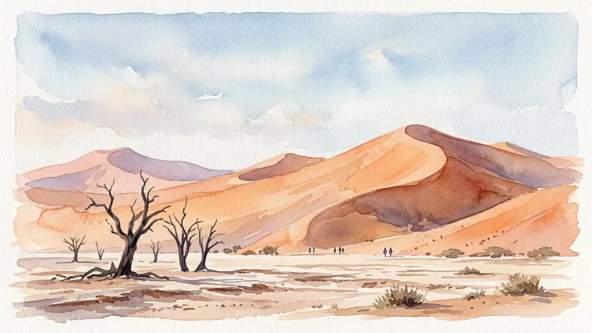
The Namib Desert around Sossusvlei in Namibia is defined by a sweep of towering red sand dunes surrounding a flat, pale pan of salt and clay. Set within Namib-Naukluft National Park, this section of the desert forms part of the Namib Sand Sea, a dune system that gained UNESCO World Heritage status in 2013 and frames one of southern Africa’s most recognisable desert landscapes.
Sossusvlei’s clay pan and the sea of sand around it
Sossusvlei is a clay and salt pan lying in the southern region of the Namib Desert, enclosed by dunes that rise steeply from the valley floor. The pan marks the point where the Tsauchab River, flowing west from the interior, meets the dune belt and is blocked by the sand rather than reaching the Atlantic coast.the Tsauchab ends at Sossusvlei The basin itself is typically pale, its surface formed by compacted clay crusted with salt, ringed on all sides by dunes of striking orange and red sand.a large pan of salt and clay
The dunes around Sossusvlei belong to the Namib Sand Sea, a dune field that extends for hundreds of kilometres along the coast and inland. In the wider Namib, individual dunes can reach heights of over 300 m (980 ft), with lengths between 16 and 32 km (10 to 20 mi), aligning in long chains parallel to the shoreline.dunes up to 300 metres high Within the Sossusvlei area, several dunes exceed 300 m (984 ft), including the dune nicknamed Big Daddy, which rises to about 325 m (1,066 ft) above the surrounding pan.Big Daddy about 325 metres high
Colours, shapes and the age of the Namib Desert
The sand around Sossusvlei is notable for its deep orange and red colouring, a tone linked to iron-rich grains that have undergone oxidation over long periods. The Namib Desert itself is one of the planet’s oldest desert systems, with geological studies pointing to desert conditions persisting for tens of millions of years as the African continent’s south-western margin remained dry.part of the enormous Namib Sand Sea In satellite images and aerial photographs, the Namib Sand Sea forms a band of dunes running inland from the Atlantic, bounded eastwards by rocky highlands and desert plains.the Namib Sand-sea lies along the arid African coast
The dunes immediately around Sossusvlei are widely described as star dunes, formed where winds blow from several directions and pile sand into pyramidal mounds with multiple ridges.the dunes around Sossusvlei are known as star dunes In places, older dunes have become lithified, their sand grains cemented into sandstone that stands as low ridges among the younger, mobile dune forms.lithified dunes solidified to rock The combination of actively shifting dunes, fossilised dune ridges and flat pans gives the Sossusvlei area a layered, geological character that reflects repeated phases of aridity and intermittent river flow.
Namib-Naukluft National Park and World Heritage status
Sossusvlei lies within Namib-Naukluft National Park, a conservation area that covers a large portion of western Namibia and is often described as the largest national park in Africa by area.Namib-Naukluft National Park, the largest national park in Africa The park extends from the Atlantic shoreline inland to mountain massifs and gravel plains, taking in sections of the Namib Desert’s dune belt and the Namib Sand Sea. Within this broader protected landscape, the erg of the Namib, including the Namib Sand Sea, was inscribed on the UNESCO World Heritage List in 2013 under natural criteria that recognise outstanding desert geomorphology and ecological processes.inscribed on the World Heritage List in 2013
The Namib Desert as a whole runs for about 1,900 km (1,200 mi) along the Atlantic coast of southern Africa, crossing Angola, Namibia and South Africa.a cool coastal desert extending for 1,200 miles Its eastern edge merges into the Kalahari region, while to the west the dunes descend onto coastal flats and gravel terraces. Within this length, the Namib Sand Sea occupies a segment between Lüderitz and Walvis Bay, with Sossusvlei sitting in its southern half as a focal point where a river valley meets the dune field.the Namib Sand Sea is the dune-dominated sector
Visiting Namib Desert: what travellers from Western Europe should know
- Namib Desert around Sossusvlei lies in south-western Namibia inside Namib-Naukluft National Park, reached by road through the Sesriem gate and the park’s internal roads.
- The terrain around Sossusvlei consists of loose sand and steep dune slopes rising above the pan, with approaches on foot across the clay surface and sandy tracks.
- In this part of the Namib Desert, daytime temperatures can be high and shade is limited on the pan and dune slopes, so exposure to sun and heat is a defining feature of any visit.
- Nearby features include Deadvlei and other clay pans among the dunes, as well as the Sesriem Canyon carved into the desert sediments close to the park entrance.
- English is widely used, the official language is English and the currency is the Namibian dollar.
Searching for Namib Desert on social platforms
These links open searches for Namib Desert on each platform.
Frequently asked questions about Namib Desert
Where is the Namib Desert around Sossusvlei located?
Sossusvlei lies in the southern part of the Namib Desert in south-western Namibia, within Namib-Naukluft National Park and the Namib Sand Sea.
What should travellers expect when visiting Sossusvlei?
Travellers encounter a flat clay pan ringed by towering red sand dunes, with approaches on foot over sandy ground and limited shade in a hot, arid environment.
What makes this section of the Namib Desert distinctive?
The combination of huge star-shaped dunes, pale salt and clay pans, an ancient desert setting and inclusion in a UNESCO-listed Namib Sand Sea gives Sossusvlei a distinctive desert landscape.


