
Murchison Falls National Park and the Nile’s narrowest roar
Published on 08/21/2026 at 08:25 | Editorial responsibility: Rafael Müller, Editor-in-Chief AD HOC NEWS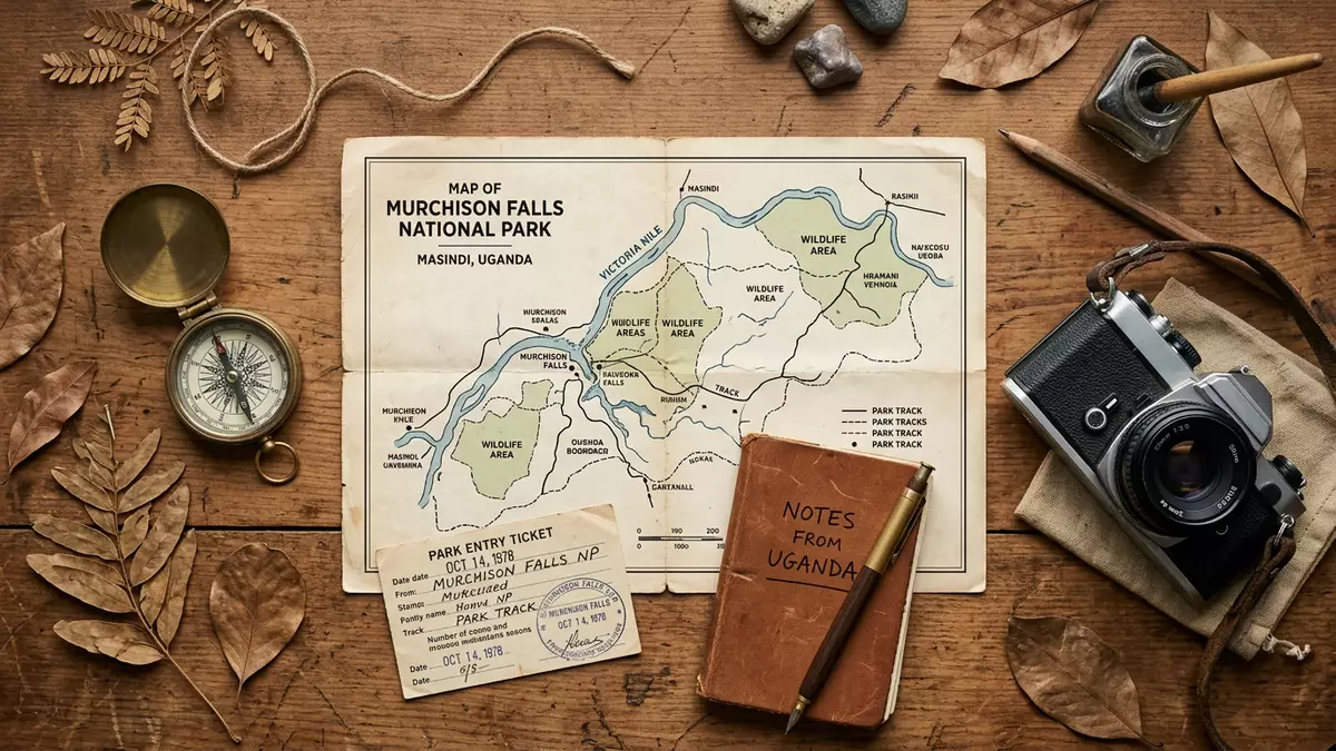
Murchison Falls National Park in Uganda is shaped by a single dramatic moment on the Nile River, where water forces its way through rock and drops into a narrow ravine. The park spreads around this point in rolling savannah, woodland and riverine corridors near Masindi, turning one constricted waterfall into a broader landscape of plains, forest patches and wide river reaches.
The Nile squeezed through rock and falling into the rift
The defining feature of Murchison Falls National Park is Murchison Falls itself, a cataract on the stretch of the Nile known as the Victoria Nile in north-western Uganda. Upstream from the falls, the river flows through a series of rapids before narrowing at a point where it is forced through a gap in the rocks only several metres wide and plunges down into a steep ravine on its way towards Lake Albert.waterfall on the Victoria Nile From viewpoints near the top of the falls, the river can be seen compressed between rock walls before it drops in a torrent, with spray rising from the ravine below and the wider river emerging further downstream on the rift valley floor.
The park forms part of the Murchison Falls Conservation Area, a cluster of protected land around the falls and lower Nile in Uganda’s western region.Murchison Falls Conservation Area The waterfall lies east of Lake Albert, and the river here crosses the Bunyoro escarpment as it drops from higher ground into the Albertine Rift, a segment of the wider East African Rift system. Rock outcrops around the falls include schists with visible mica crystals, giving the riverbanks a hard, glittering frame in strong light.Bunyoro escarpment into the Albertine Rift
Grassland, woodland and riverbanks across a broad protected area
Beyond the waterfall itself, Murchison Falls National Park covers several thousand square kilometres of protected land on both banks of the Nile River.about 3,840 km2 of protected area The terrain includes open savannah with scattered trees, woodland with denser stands of vegetation, patches of tropical forest and wetland habitat along tributary streams and floodplain areas. The park straddles several districts, including Masindi, Nwoya, Kiryandongo and Buliisa, and runs between the escarpment above the falls and the lower-lying country around Lake Albert.located in Nwoya, Masindi, Kiryandongo and Buliisa
Wildlife and vegetation vary across these zones. Riverbanks and adjacent floodplains support hippos and other aquatic life, while grassland and lightly wooded areas provide habitat for large herbivores and their predators. Sections of forest, such as the nearby Budongo Forest Reserve that forms part of the wider conservation area, add another layer of habitat with tall trees and understorey vegetation.savannah-woodland and tropical forests The combination of open plains, river corridors and forest blocks creates a varied landscape in which the Nile is a longitudinal axis rather than a border.
From game reserve roots to Uganda’s national park era
The protected status of the area around Murchison Falls dates back to the early twentieth century, when colonial authorities began designating game reserves in western Uganda.Bunyoro-Gulu Game Reserve and later national park Earlier in that period, parts of the region had been affected by sleeping sickness carried by tsetse flies, leading to evacuations and subsequent changes in land use. Game reserves south and north of the Nile were gradually consolidated, and by the mid-twentieth century they formed the basis of a larger conservation unit.
In 1952, Uganda’s National Parks Act gave the Murchison Falls area formal national park status, making it one of the country’s earliest national parks alongside Queen Elizabeth National Park.national park status in 1952 The waterfall received its name “Murchison Falls” in the nineteenth century from the explorer Sir Samuel Baker, who named it after Sir Roderick Murchison, then president of the Royal Geographical Society.named after Sir Roderick Murchison Over subsequent decades, conservation efforts and infrastructure developed under different administrations, and the Uganda Wildlife Authority now oversees the park as part of Uganda’s network of protected areas.
Visiting Murchison Falls National Park: what travellers from Western Europe should know
- Murchison Falls National Park lies in north-western Uganda, with access routes from Masindi town by road and gates leading towards the main Nile crossing points inside the conservation area.
- Terrain in and around the falls includes uneven rocky ground near viewpoints, escarpment slopes and stretches of track across savannah; approaches to river locations can involve walking on unsealed paths.
- The park’s wider landscape includes sections of forest and open plains, so conditions range from shaded woodland to exposed grassland; riverbanks are close to water and can feel different from higher ground.
- The official language is English and the currency is the Ugandan shilling.
- Entry requirements depend on your nationality; UK travellers can check the FCDO travel advice at gov.uk/foreign-travel-advice, Irish travellers the Department of Foreign Affairs at ireland.ie.
Searching for Murchison Falls National Park on social platforms
These links open searches for Murchison Falls National Park on each platform.
Frequently asked questions about Murchison Falls National Park
Where is Murchison Falls National Park located?
Murchison Falls National Park lies in north-western Uganda, in a region west of Karuma Falls and east of Lake Albert, with Masindi as its nearest significant town.
What should visitors expect on a visit to the park?
Visitors encounter a combination of the narrow Murchison Falls on the Nile, wide river stretches, savannah, woodland and sections of forest within a broad protected landscape.
What makes Murchison Falls National Park distinctive among Uganda’s parks?
The park is closely centred on Murchison Falls, where the Victoria Nile narrows dramatically and drops into the Albertine Rift, giving it a strong focus on river scenery as well as plains and forest.


