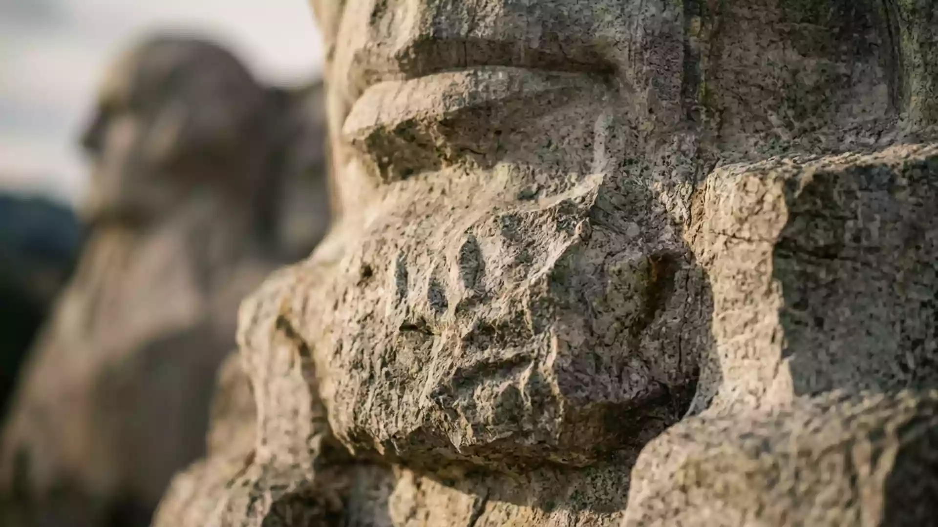
Mount Rushmore hosts surveyors on 19 October 2026
Published on 10/21/2026 at 11:31 | Editorial responsibility: Rafael Müller, Editor-in-Chief AD HOC NEWSSurveying and sculpture
- The National Society of Professional Surveyors held a Mount Rushmore ceremony on 19 October 2026.
- The event introduced the National Spatial Reference System and included a commemorative marker.
- Gutzon Borglum’s four 18 m (60 ft) faces were carved between 1927 and 1941.
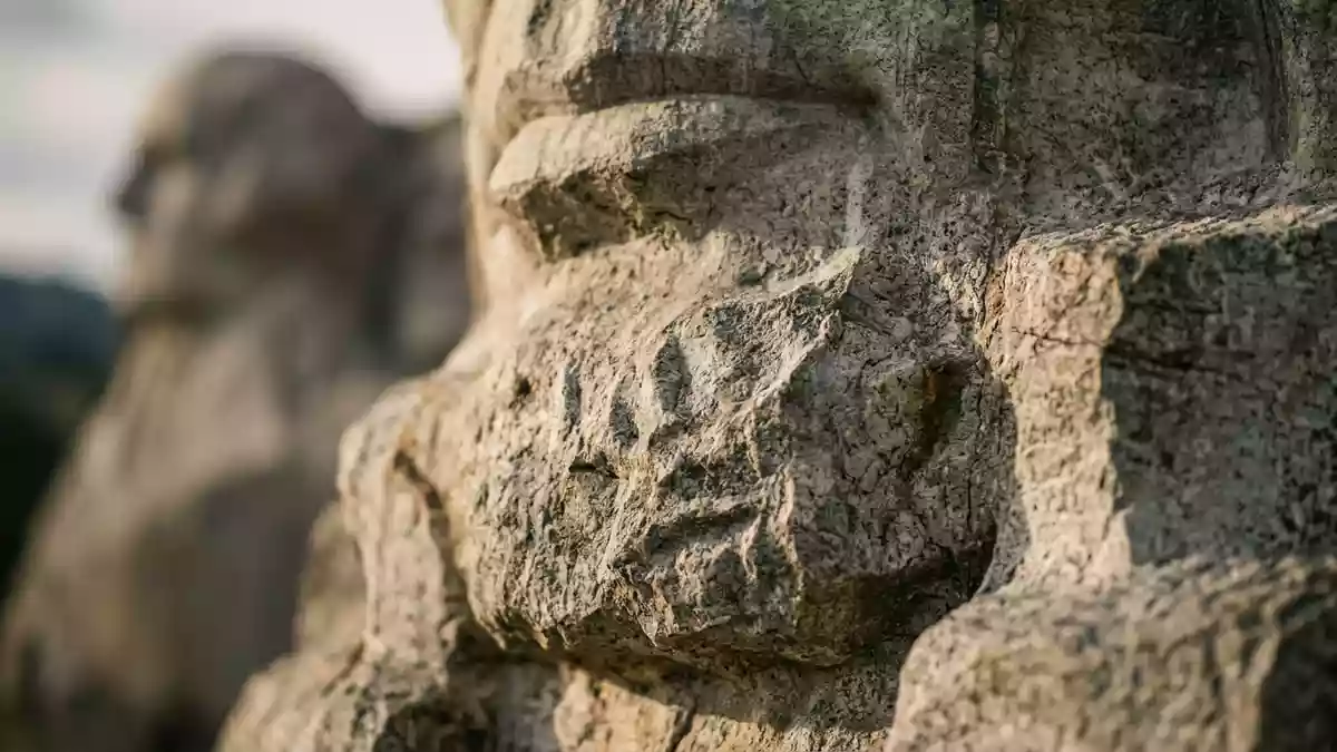
Mount Rushmore and a land-surveying ceremony came together in Keystone on 19 October 2026, when professional surveyors gathered at the national memorial to mark America’s 250th anniversary and introduce a modernised mapping system.
Surveyors use Mount Rushmore for a national mapping launch
The ceremony was hosted jointly by the South Dakota Society of Professional Land Surveyors and the National Society of Professional Surveyors. It included the unveiling of the modernised National Spatial Reference System, a nationwide framework for positioning, charting and mapping.
Federal representatives from the National Oceanic and Atmospheric Administration and the National Geodetic Survey took part in the event. A commemorative marker was also dedicated at the memorial before attendees left for technical tours across the Black Hills. Report on the 19 October ceremony records the venue, organisers and programme.
The 18 m faces connect the ceremony to the memorial’s history
The choice of venue reflected the connection between surveying and the memorial’s four presidents. George Washington, Thomas Jefferson and Abraham Lincoln all worked as land surveyors before becoming president, according to the event report.
The sculpture preserves four granite busts of Washington, Jefferson, Theodore Roosevelt and Lincoln. Each bust is 18 m (60 ft) tall, and the National Park Service says the memorial lies about 3.2 km (2 mi) southwest of Keystone in South Dakota. National Park Service background places the sculpture within the central Black Hills and identifies the granite setting.
Gutzon Borglum inspired and designed the project, which a workforce of roughly 400 people completed between 1927 and 1941. That long construction history gives the 2026 ceremony a specific local link: the site associated with three early surveyors became the setting for a modern national positioning system.
What the 2026 mapping ceremony means for visitors
The event was a completed ceremony rather than a continuing visitor programme. Its lasting physical element is the commemorative marker dedicated at the memorial, while the National Spatial Reference System is a nationwide technical change rather than a new attraction at the site.
Mount Rushmore remains a National Park Service memorial in the Black Hills. The agency’s visitor information identifies the four presidents and the memorial’s location in Keystone, while the sculpture itself remains the central feature for travellers arriving in South Dakota.
Visiting Mount Rushmore: what travellers from Western Europe should know
- The land-surveying ceremony took place at Mount Rushmore National Memorial on 19 October 2026 and is now over.
- The event added a commemorative marker at the memorial, but no continuing public programme from the ceremony is identified in the event report.
- The memorial is about 3.2 km (2 mi) southwest of Keystone in South Dakota, in the central Black Hills.
- The four granite busts are 18 m (60 ft) tall, and the mountain sculpture was carved between 1927 and 1941.
- English is the main language for visitor information in the United States, where the national currency is the US dollar.
Searching for Mount Rushmore on social platforms
These links open searches for Mount Rushmore on each platform.
Frequently asked questions about Mount Rushmore
When did the land-surveying ceremony take place at Mount Rushmore?
The ceremony took place on 19 October 2026 at Mount Rushmore National Memorial in Keystone, South Dakota.
What is the National Spatial Reference System?
It is a modernised national framework for positioning, charting and mapping that was introduced during the 19 October 2026 ceremony.
Where is Mount Rushmore and how do you get there?
The memorial is about 3.2 km (2 mi) southwest of Keystone in the central Black Hills of South Dakota.