
Mount Rainier National Park’s volcano, glaciers and wildflower meadows
Published on 08/27/2026 at 15:05 | Editorial responsibility: Rafael Müller, Editor-in-Chief AD HOC NEWS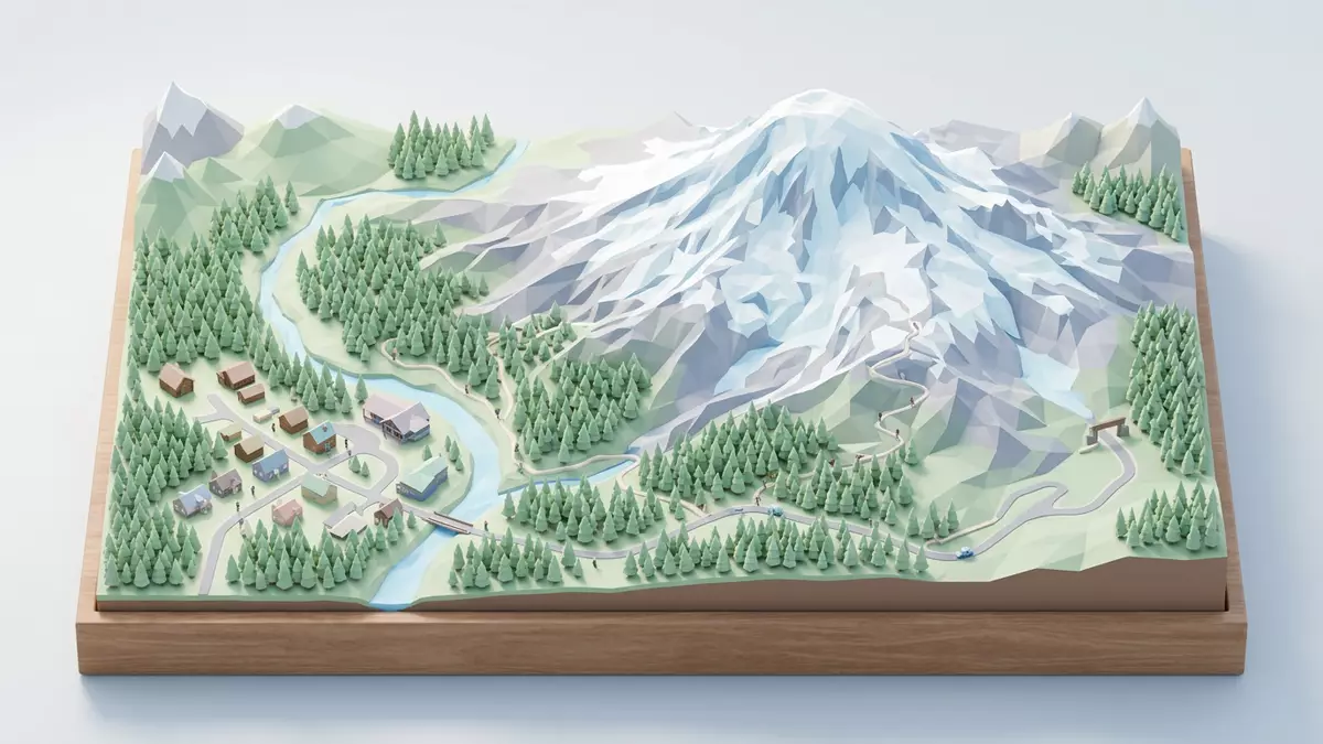
Mount Rainier National Park in Washington State is built around a single dominant presence: the 4,390 m (14,410 ft) volcano that shares its name and looms above the forests near Ashford. Established on 2 March 1899 as one of the earliest national parks in the United States, it protects a sweep of alpine and subalpine landscapes around the peak, from glaciers and rivers to meadows and old-growth woodland.
A volcanic giant above forests and rivers
The central feature of Mount Rainier National Park is Mount Rainier itself, a stratovolcano that rises to about 4,390 m (14,410 ft) above sea level and dominates the skyline of west-central Washington.Mount Rainier rises 14,410 feet The mountain forms part of the Cascade Range and stands on the western slope of the chain, its bulk surrounded by deep valleys and rugged ridges.The park lies on the western slope of the Cascade Range
The volcano’s mass is large enough that its base covers more than 259 square kilometres (100 square miles), and its summit rises over 2,700 m (9,000 ft) above nearby valley floors.The base of the volcano covers more than 259 km2 Glaciers spill down its flanks and feed rivers that radiate from the mountain in several directions, cutting through forested slopes and carrying meltwater across the lowlands.
An early national park with layered landscapes
Mount Rainier National Park was created by an act of the United States Congress and signed into law by President William McKinley on 2 March 1899, making it one of the first national parks in the country.The park was established on 2 March 1899 It covers more than 236,000 acres of protected land that include the summit, surrounding ridges and extensive forests on the mountain’s lower slopes.The park encompasses 236,381 acres
Within this area the landscape ranges from dense coniferous woodland in the valleys to subalpine meadows higher up, where patches of forest give way to open ground with seasonal wildflowers and views of the glaciers above.Ancient forest cloaks Mount Rainier’s lower slopes Higher still, the terrain shifts to rock, permanent snow and ice, with the upper mountain ringed by crevassed glacier fields and exposed ridgelines.
Entrances, developed areas and gateway communities
The main road entrance used by many visitors from Western Washington is the Nisqually Entrance, reached via State Route 706 from Ashford, where the park administration is based and where one of the listed postal addresses lies.State Route 706 leads through Ashford to the Nisqually Entrance Ashford serves as one of several gateway communities around the park, alongside towns such as Elbe, Eatonville and Packwood that are linked to different approaches.Gateway communities include Ashford and other small towns
Within the park, named areas such as Longmire, Paradise and Sunrise act as hubs for trailheads and views, each sitting on a different side of the mountain and reached by separate roads.Longmire, Paradise and Sunrise are key developed areas These developed zones sit among wide tracts of designated wilderness, a legal status that covers most of the park’s acreage and preserves its character as a largely undeveloped mountain landscape.
Visiting Mount Rainier National Park: what travellers from Western Europe should know
- Mount Rainier National Park lies in west-central Washington State, with the Nisqually Entrance reached by State Route 706 east from Ashford and other entrances linked to separate highways.
- The terrain shifts quickly from valley floors to steep slopes, and many paths and viewpoints involve noticeable gradients or uneven ground on rock, soil or forest trails.
- The park includes high mountain terrain with permanent snow and ice, and weather conditions can change rapidly at elevation even when lowland skies appear settled.
- Nearby settlements such as Ashford, Elbe and Packwood function as gateway communities clustered near different road approaches to the park boundary.
- The official language is English and the currency is the United States dollar.
Searching for Mount Rainier National Park on social platforms
These links open searches for Mount Rainier National Park on each platform.
Frequently asked questions about Mount Rainier National Park
Where is Mount Rainier National Park?
Mount Rainier National Park lies in west-central Washington State in the United States, on the western slope of the Cascade Range, with park headquarters near Ashford.
What can visitors expect from a visit to Mount Rainier National Park?
Visitors encounter a high volcanic peak surrounded by glaciers, deep valleys, rivers, forests and subalpine meadows, with road-accessible viewpoints and trailheads at different elevations around the mountain.
What makes Mount Rainier National Park distinctive among mountain parks?
The combination of a 4,390 m (14,410 ft) stratovolcano, extensive glacier cover, designated wilderness and developed areas such as Paradise and Sunrise gives the park a rare blend of accessible viewpoints and large protected backcountry.


