
Mount Rainier National Park and the glaciated volcano above Ashford
Published on 09/17/2026 at 11:53 | Editorial responsibility: Rafael Müller, Editor-in-Chief AD HOC NEWS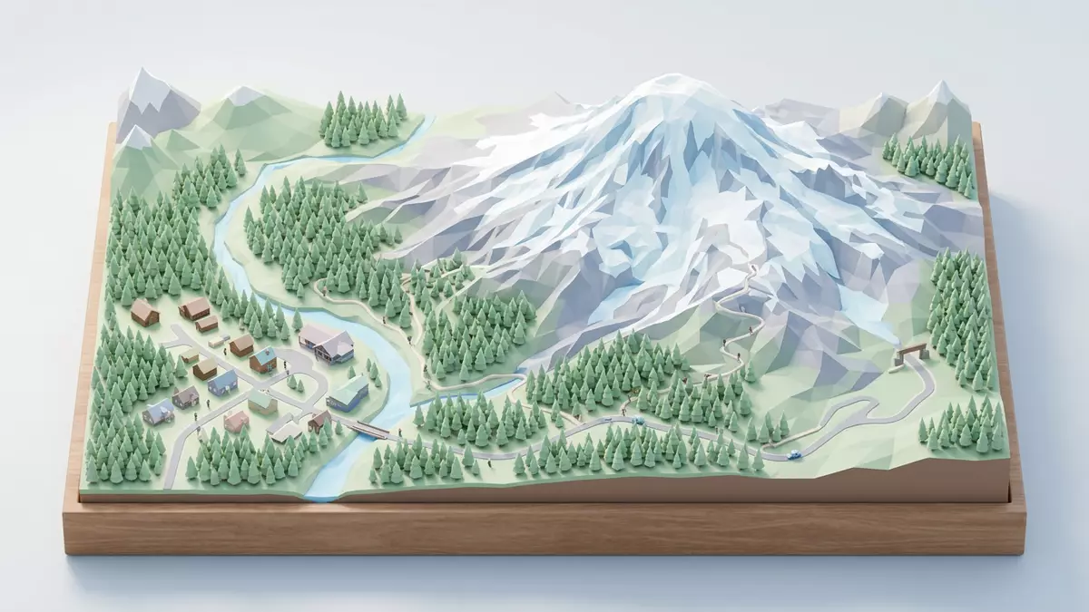
Mount Rainier National Park in Washington centres on Mount Rainier itself, a high stratovolcano above the community of Ashford and the forests of the Cascade Range. The park was established in 1899 as the fifth national park of the United States, protecting the mountain and the surrounding valleys as a long-term landscape reserve.
A glaciated stratovolcano towering over the Cascades
Mount Rainier dominates west-central Washington as a prominent peak in the Cascade Range, rising to an elevation of about 4,392 m (14,410 ft) above sea level.Mount Rainier rises 14,410 feet The mountain stands southeast of the Puget Sound cities and forms a broad cone of volcanic rock that rises sharply above surrounding forested ridges.Location in the Cascade Range
Geologically, Mount Rainier is an episodically active composite volcano, built over the last several hundred thousand years from repeated eruptions of andesite and dacite lava and volcanic debris.episodically active composite volcano Its present cone formed during the Pleistocene and Holocene, resting on older formations that include the Ohanapecosh and Stevens Ridge units of volcanic and sedimentary rock.geologic formations within the park The summit carries two craters and an extensive ice cap, with thermal activity beneath the ice recorded by geological surveys.
Ice, valleys and rivers shaped by long-term glaciation
Mount Rainier National Park is known for its extensive glacier system, the largest associated with a single peak in the contiguous United States.largest single- peak glacial system The mountain carries dozens of named glaciers and broad snowfields, with ice covering more than 90 km² (35 square miles) within the park boundary.Ice covers 37 square miles in the park Glacial tongues descend into deep valleys, feeding river systems that radiate away from the summit toward the lowlands.
Over long periods, glaciation has carved Mount Rainier’s slopes into horns, cirques, arêtes and broad U-shaped valleys that structure much of the park’s scenery.glacial landforms on Mount Rainier The Emmons Glacier spreads over a large area of the eastern flank, while the Carbon Glacier descends to a comparatively low terminus altitude in a valley lined with dense forest.Emmons and Carbon Glaciers Meltwater from these ice masses sustains rivers that run through the park’s canyons and alluvial flats and continues beyond the boundary toward agricultural regions and towns.
From forested lowlands to subalpine meadows
The protected area of Mount Rainier National Park extends over more than 236,000 acres of varied terrain, from lowland coniferous forest to upper slopes of rock and ice.park size 236,381 acres In the lower valleys, travellers encounter stands of evergreen trees, riverbanks with gravel bars and moss-covered boulders, and stretches of woodland where the canopy filters sunlight into a green light.
Higher on the mountain, the forest gives way to subalpine meadows that have long drawn visitors with their seasonal display of wildflowers against a backdrop of snowfields and ridges. Above the meadows, the terrain narrows into rocky slopes, moraines and volcanic outcrops that rise toward the summit ice cap and its crevasses. Trails and viewpoints link these zones, offering long perspectives along glacier-filled valleys and across neighbouring peaks of the Cascade Range.
Visiting Mount Rainier National Park: what travellers from Western Europe should know
- Mount Rainier National Park lies in Washington in the north-western United States, with Ashford acting as one of the gateway communities along Highway 706 leading toward the Nisqually Entrance.
- Terrain inside the park ranges from forest paths and river crossings to steep mountain trails and high-elevation routes on volcanic rock and glacial deposits, with some approaches involving sustained ascents.
- The park covers substantial altitude differences, and conditions can vary between the forested lowlands, subalpine meadows and glacier-fed valleys, so mountain routes require appropriate preparation.
- The official language is English and the currency is the United States dollar.
- Entry requirements depend on your nationality; UK travellers can check the FCDO travel advice at gov.uk/foreign-travel-advice, Irish travellers the Department of Foreign Affairs at ireland.ie.
Searching for Mount Rainier National Park on social platforms
These links open searches for Mount Rainier National Park on each platform.
Frequently asked questions about Mount Rainier National Park
Where is Mount Rainier National Park located?
Mount Rainier National Park is in Washington State in the United States, on the west slope of the Cascade Range, with Ashford providing access toward the Nisqually Entrance.
What can visitors expect on a visit to the park?
Visitors encounter a high stratovolcano with glaciers, deep river valleys, forests and subalpine meadows, linked by roads and trails that rise through distinct elevation zones.
What makes Mount Rainier National Park distinctive?
The park combines a glaciated volcano more than 4,000 m (13,000 ft) high with the largest single-peak glacier system in the contiguous United States and wide areas of protected mountain landscape.


