
Mount Cameroon rises from rainforest to volcanic summit
Published on 09/23/2026 at 04:56 | Editorial responsibility: Rafael Müller, Editor-in-Chief AD HOC NEWS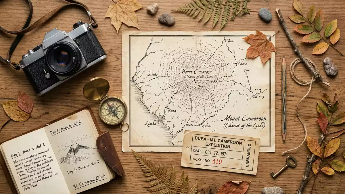
Mount Cameroon rises above Buea as a long volcanic massif beside the Gulf of Guinea. Its slopes carry a visible sequence from lowland rainforest through montane vegetation to open volcanic ground near the summit.
Mount Cameroon from Buea to the upper slopes
Buea lies on the southeastern slope of the mountain, where roads and paths meet the lower uplands. From the town, Mount Cameroon appears as a broad volcanic landform rather than a sharply isolated cone.
The massif extends inland from the Atlantic coast, with its long axis running broadly from south-west to north-east. Its summit reaches 4,095 metres above sea level. The mountain is also known as Fako, a name used for its highest summit.
A living volcano on the Gulf of Guinea
Mount Cameroon is an active volcano formed from lava, ash and other volcanic material. Its geological identity remains visible in the dark slopes, scattered volcanic features and broad highland terrain.
The volcano belongs to the Cameroon Volcanic Line, a chain of volcanic mountains and islands extending across the region. Historical eruptions include events in the twentieth century, with the latest confirmed eruption recorded in 2000.
Its coastal position gives Mount Cameroon a distinct landscape profile. The volcanic massif near the coast rises from humid tropical country towards high, exposed terrain.
Rainforest, montane grassland and volcanic ground
The mountain contains an unbroken altitudinal vegetation sequence. Evergreen rainforest occupies the lower levels, followed by submontane and montane forest, then alpine grassland near the summit.
This change in vegetation is one of the clearest features of Mount Cameroon. The lower mountain belongs to a humid African forest environment, while the upper slopes contain open ground, lava formations and crater landscapes.
Mount Cameroon National Park protects parts of this environment. The protected area lies in Cameroon’s South-West Region and includes forest, grassland and volcanic landscapes around the massif.
The mountain’s ecological range is recorded in the altitudinal vegetation gradient, which reaches from sea level towards about 4,100 metres.
Visiting Mount Cameroon: what travellers from Western Europe should know
- Mount Cameroon rises south-west of Buea in Cameroon’s South-West Region. Roads and hiking routes from Buea approach the southeastern side of the massif.
- The ascent crosses rainforest, forested uplands, montane grassland and volcanic terrain. Higher sections are exposed, steep and physically demanding.
- The summit reaches 4,095 m (13,435 ft), so altitude and changing mountain conditions form part of the route.
- The official language is English and French, and the currency is the Central African CFA franc.
- Entry requirements depend on your nationality; UK travellers can check the FCDO travel advice at gov.uk/foreign-travel-advice, Irish travellers the Department of Foreign Affairs at ireland.ie.
- Conditions on the mountain change with the seasons; the local cable-car operators and alpine clubs provide information.
Searching for Mount Cameroon on social platforms
These links open searches for Mount Cameroon on each platform.Frequently asked questions about Mount Cameroon
Where is Mount Cameroon?
Mount Cameroon stands in Cameroon’s South-West Region, beside the Gulf of Guinea and above the town of Buea.
What can a visit involve?
A mountain route can cross rainforest, upland forest, montane grassland and volcanic ground before reaching higher exposed slopes.
What distinguishes Mount Cameroon?
Its combination of an active volcano, Atlantic coastal setting and continuous vegetation sequence makes the mountain a varied natural landscape.


