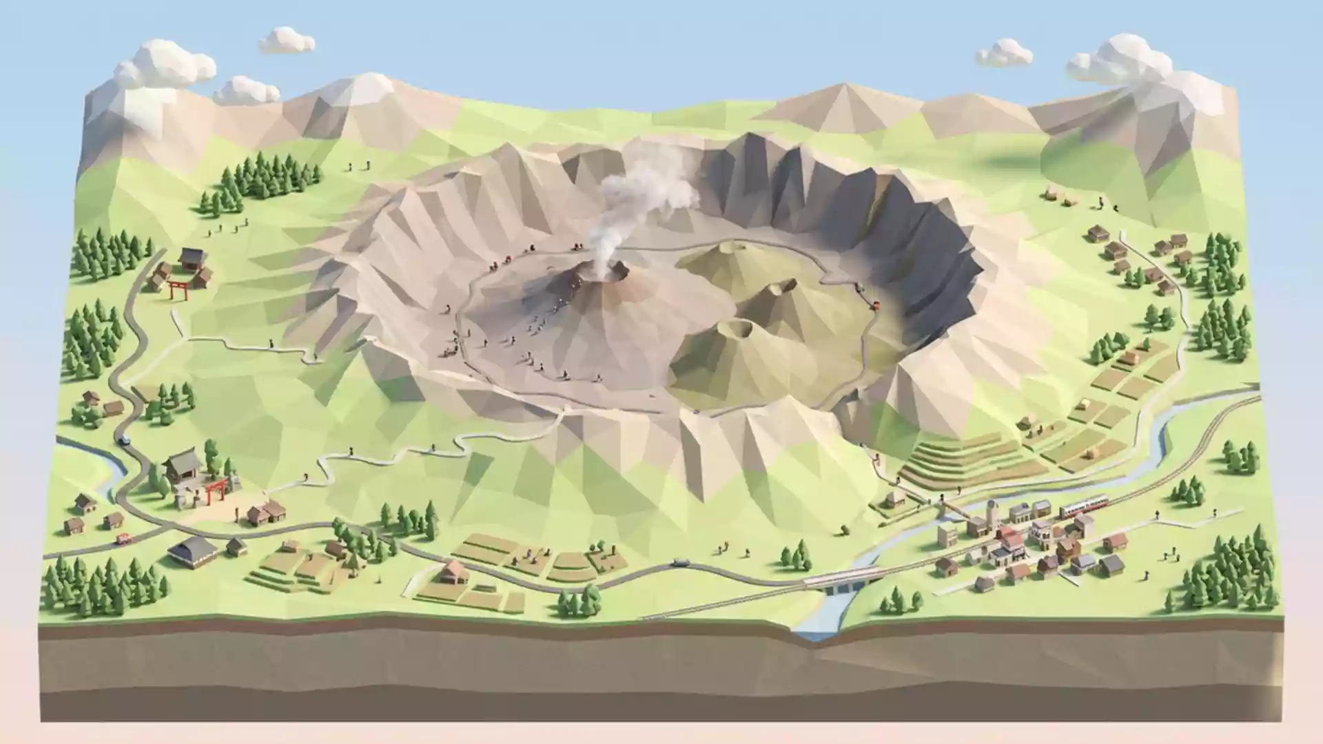
Mount Aso keeps crater restriction after 30 October warning
Published on 10/31/2026 at 17:29 | Editorial responsibility: Rafael Müller, Editor-in-Chief AD HOC NEWSCrater restrictions continue
- Japan's Fukuoka District Meteorological Observatory continued the Level 2 warning for Mount Aso on 30 October 2026.
- Entry remains prohibited within approximately 1 km of Nakadake First Crater because of volcanic hazards.
- Aso's five peaks form a central range inside a caldera with an outer rim measuring about 25 km north to south.
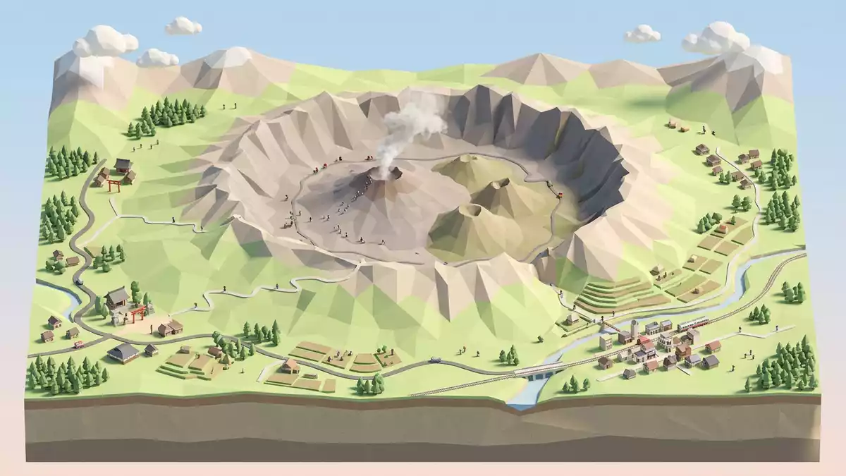
Mount Aso’s crater restriction continued on 30 October 2026 after Japan’s meteorological authorities kept the volcano at Eruption Alert Level 2. The restriction affects the Nakadake First Crater area, while the wider mountain landscape remains relevant for autumn visitors to Aso, Japan.
Mount Aso keeps a one-kilometre crater restriction
The Fukuoka District Meteorological Observatory issued its latest activity information at 4pm on 30 October 2026. It said the Level 2 crater-vicinity warning remained in force and named Aso City and Minami-Aso Village among the municipalities requiring caution around the crater.
Entry is prohibited within approximately 1 km of Nakadake First Crater. The authority warned of large volcanic rocks and pyroclastic flows in the restricted area, as well as volcanic gas and ash that may travel downwind.
The bulletin recorded white emissions rising as high as 700 metres above the crater rim. A field survey on 28 October measured sulphur dioxide emissions at 2,700 tonnes per day, following 1,500 tonnes on 27 October, while a 29 October survey found a grey pool and small-scale sediment ejections on the crater floor.
The warning is not a closure of every attraction on the mountain. It is a specific restriction around the active crater, and travellers should distinguish that zone from the broader caldera, grasslands and viewpoints.
The 30 October volcanic bulletin gives the latest official assessment. The operator’s English crater restriction page also warns that conditions can change with gas emissions and weather.
Mount Aso’s active crater sits among five peaks
Mount Aso is commonly used for the central mountain range and the surrounding volcanic landscape. Aso City describes the five principal peaks as Takadake, Nekodake, Nakadake, Eboshidake and Kishimadake, with Takadake as the highest.
The city’s official profile describes the wider caldera as a double volcanic structure. Its outer rim extends approximately 25 km from north to south and 18 km from east to west, enclosing a broad basin where roads, railways, fields and settlements are found.
Nakadake is the active centre of the group and the crater most closely associated with visits to the summit area. The crater complex extends about 400 metres from east to west and 1,100 metres from north to south, according to Aso City’s Mount Aso profile.
That geography explains the practical effect of the 30 October warning: the central crater is restricted, but the decision does not describe the entire caldera as closed. The active crater, the five-peak range and the inhabited basin are distinct parts of one extensive volcanic landscape.
Visiting Mount Aso: what travellers from Western Europe should know
- The Level 2 crater-vicinity warning continued on 30 October 2026, with entry prohibited within approximately 1 km of Nakadake First Crater.
- Visitors must follow local instructions and must not enter dangerous areas; the warning specifically cites volcanic rocks, pyroclastic flows, ash and volcanic gas.
- Mount Aso is in Aso, Kumamoto Prefecture, and the wider site includes the five peaks and the outer caldera described by Aso City.
- The terrain is volcanic and includes crater rims, grasslands, peaks and old crater formations; routes may be restricted according to gas emissions, weather and official instructions.
- Japan’s official language is Japanese and its national currency is the yen.
- Entry requirements depend on your nationality; UK travellers can check the FCDO travel advice at gov.uk/foreign-travel-advice, Irish travellers the Department of Foreign Affairs at ireland.ie.
Searching for Mount Aso on social platforms
These links open searches for Mount Aso on each platform.
Frequently asked questions about Mount Aso
What changed at Mount Aso on 30 October 2026?
Japan’s meteorological authorities continued the Eruption Alert Level 2 crater-vicinity warning. Entry within approximately 1 km of Nakadake First Crater remains prohibited.
Where is Mount Aso and how do you get there?
Mount Aso is in Aso, Kumamoto Prefecture, Japan. The wider site contains roads, railways and settlements within the caldera, but access near Nakadake depends on official restrictions.
What is Mount Aso?
It is a volcanic mountain range centred on five principal peaks and enclosed by a broad outer caldera. Nakadake is the active crater described in the 30 October 2026 warning.