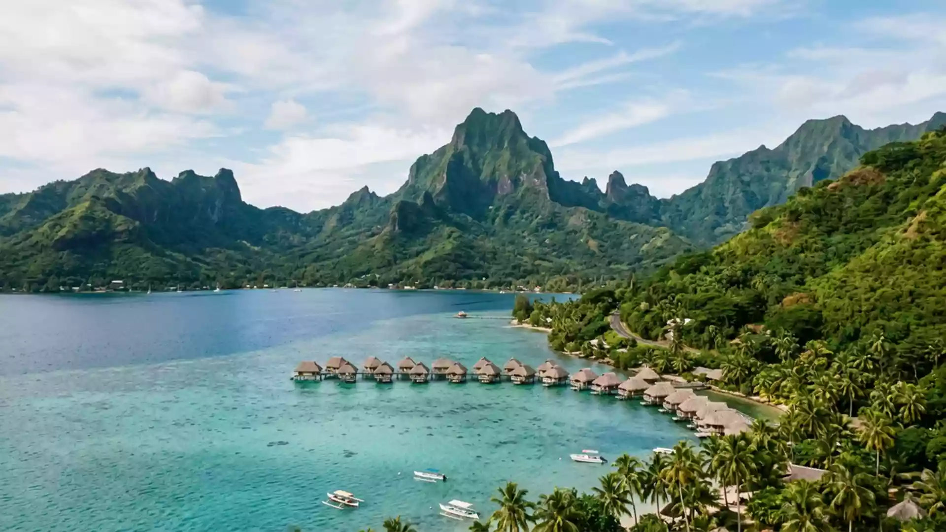
Moorea’s volcanic ridges and twin bays
Published on 08/30/2026 at 13:16 | Editorial responsibility: Rafael Müller, Editor-in-Chief AD HOC NEWS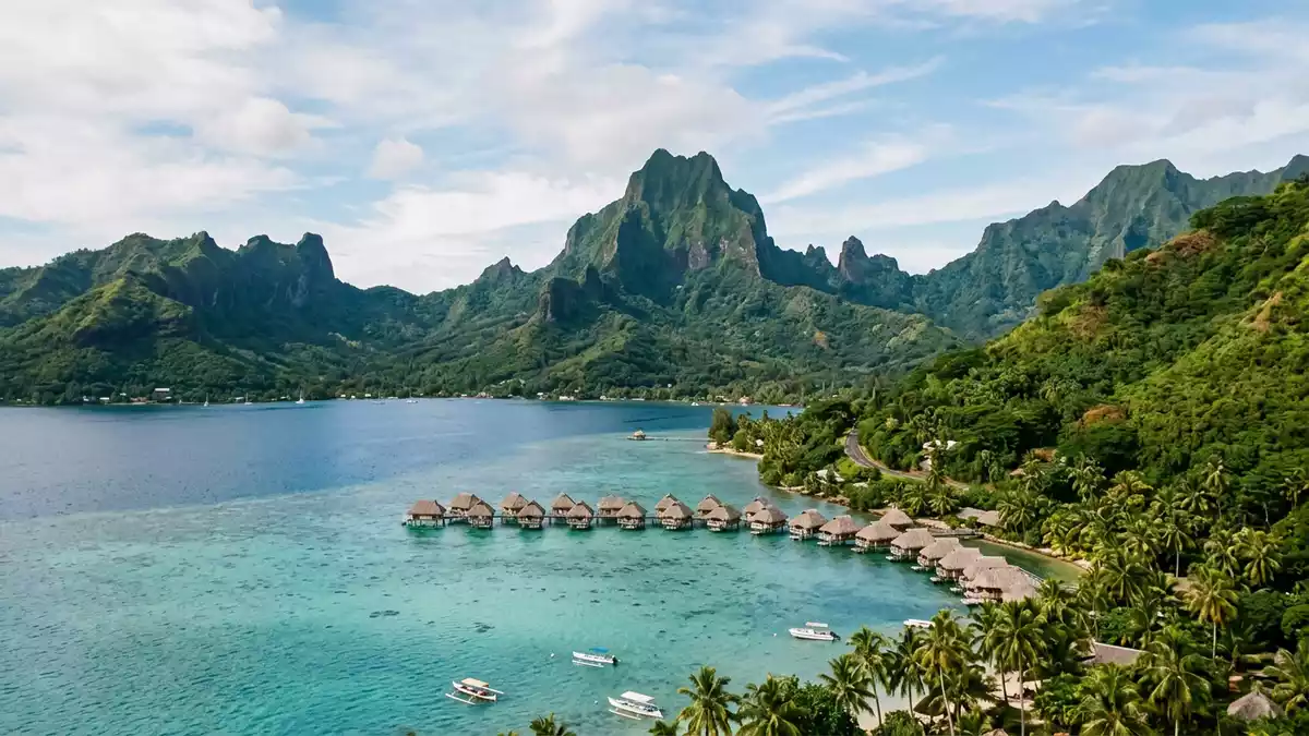
Moorea is a volcanic island in French Polynesia, part of the Society Islands and the Windward Islands. Its profile is defined by sharp ridges, deep bays, and a lagoon that frames the coast.
Moorea’s ridge line and twin bays
The island’s northern side is cut by Cook Bay and Opunohu Bay, with Mount Rotui between them. Moorea is volcanic and the land rises to Mount Tohivea, the highest peak, at 1,207 m (3,960 ft). Mount Tohivea sits above the island’s broken interior.
The island is triangular in outline, with a rugged core and a coast that folds inward at several points. The triangle-like form is easy to read from high ground, especially where the ridges open northwards.
From lagoon to mountain interior
Moorea combines coral shallows, sheltered bays, and a mountainous centre. The contrast between water and rock is strong even in a single sweep of the shoreline.
The island’s slopes are cut by valleys and streams, and the north coast gathers much of the clearest geography for a visitor to read. Cook bay and Opunohu bay sit beside one another, while the central ridges rise behind them. The setting makes Moorea feel compact without being flat.
Moorea in the Society Islands
Moorea belongs to the Society Islands of French Polynesia and lies northwest of Tahiti. It is the second largest of the Windward Islands, a position that gives it a clear place within the archipelago. the Windward Islands name the island group, and the wider region is the South Pacific.
The island’s history is tied to volcanic landform rather than monumental architecture. That makes the landscape itself the main guide: ridges, bays, and the broken line of the interior all define the place more strongly than any built landmark.
Visiting Moorea: what travellers from Western Europe should know
- Moorea lies in French Polynesia, northwest of Tahiti, and ferries and flights connect it with the larger island. The main geographical reference points are Cook Bay, Opunohu Bay, and Mount Rotui.
- The island’s interior is mountainous, with steep slopes and a high summit. Paths and viewpoints cross uneven ground, and the bays mark the easiest way to read the coastline.
- The official language is French and the currency is the Pacific franc (XPF).
- Entry requirements depend on your nationality; UK travellers can check the FCDO travel advice at gov.uk/foreign-travel-advice, Irish travellers the Department of Foreign Affairs at ireland.ie.
- Moorea is a compact island, so the sea, ridges, and bays remain close together. That makes the island’s shape legible from many vantage points.
Searching for Moorea on social platforms
These links open searches for Moorea on each platform.
Frequently asked questions about Moorea
Where is Moorea?
Moorea is in French Polynesia, in the Society Islands, northwest of Tahiti. It belongs to the Windward Islands of the wider archipelago.
What does a visit to Moorea involve?
The island offers bays, a lagoon, and a mountainous interior in a compact setting. Its geography is easy to read in broad outlines, with water and rock close together.
What makes Moorea distinctive?
Mount Rotui dividing Cook Bay from Opunohu Bay gives the north coast a clear visual structure. The island’s volcanic shape and high central ridges define its character.