
Moorea and the volcanic mountains between two bays
Published on 09/24/2026 at 01:33 | Editorial responsibility: Rafael Müller, Editor-in-Chief AD HOC NEWS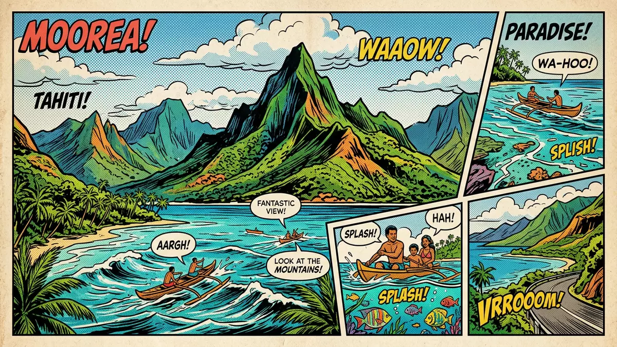
Moorea is a volcanic island in French Polynesia, set in the Society Islands north-west of Tahiti. Its defining view is formed by Cook’s Bay and Opunohu Bay, two deep inlets separated by Mount Rotui and enclosed by steep green mountains.
Moorea’s twin bays and volcanic interior
Moorea covers about 132 square kilometres and has a roughly triangular outline. The island is the eroded remains of an ancient volcano, with rugged ridges, narrow valleys, streams and fertile ground.
Mount Rotui rises between the two northern bays. Cook’s Bay extends inland towards Paopao, while Opunohu Bay reaches towards Papetoai and the Opunohu Valley. Their waters meet a coastline bordered by coral reef and lagoon.
Mount Tohivea and the island’s high ridges
At 1,207 m (3,960 ft), Mount Tohivea is Moorea’s highest summit. The mountain belongs to a broken volcanic landscape rather than a single isolated cone, with ridges descending towards the coast.
Mount Mouaputa rises above the eastern part of the island, and Mount Mouaroa forms a sharply pointed profile near the interior valleys. Mount Rotui reaches 899 m (2,949 ft) between the principal bays, giving the northern coast its strongest landform.
Polynesian settlement, James Cook and island life
Moorea belongs to the Windward Islands, a group within the Society Islands archipelago. Polynesian navigators settled the island more than 1,000 years ago, arriving by ocean-going canoes from the wider region of eastern Polynesia.
James Cook visited the island in 1777 during his third voyage to the Pacific. The bay bearing his name is paired with Opunohu Bay, while the island’s villages, plantations and valleys remain closely linked to Polynesian history and French administration.
Moorea’s agricultural landscape includes pineapple, vanilla, copra and coffee. The volcanic island’s geography brings together high ridges, coastal settlements, lagoon waters and cultivated valleys.
Visiting Moorea: what travellers from Western Europe should know
- Moorea lies about 17 km (11 miles) north-west of Tahiti. Ferries and domestic flights connect the island with Tahiti, while the main coastal road links villages and bays.
- The interior is mountainous, with steep gradients, rocky tracks and exposed ridges. Routes leading towards Mount Tohivea and the interior valleys require appropriate footwear and physical preparation.
- The island’s coast includes coral reef, lagoon water and beaches, while the central landscape rises quickly into forested volcanic slopes.
- The official language is French and the currency is the CFP franc.
- Entry requirements depend on your nationality; UK travellers can check the FCDO travel advice at gov.uk/foreign-travel-advice, Irish travellers the Department of Foreign Affairs at ireland.ie.
Searching for Moorea on social platforms
These links open searches for Moorea on each platform.Frequently asked questions about Moorea
Where is Moorea?
Moorea lies in the Society Islands of French Polynesia, about 17 km (11 miles) north-west of Tahiti in the central South Pacific.
What can visitors expect on Moorea?
Visitors encounter coastal villages, lagoon waters, coral reef, agricultural valleys and mountainous interior routes. The landscape combines marine environments with steep volcanic terrain.
What makes Moorea distinctive?
Mount Rotui stands between Cook’s Bay and Opunohu Bay, creating a clear visual relationship between twin northern inlets and the island’s volcanic interior.


