
Miraflores in Lima where cliffs meet the Pacific
Published on 09/19/2026 at 19:17 | Editorial responsibility: Rafael Müller, Editor-in-Chief AD HOC NEWS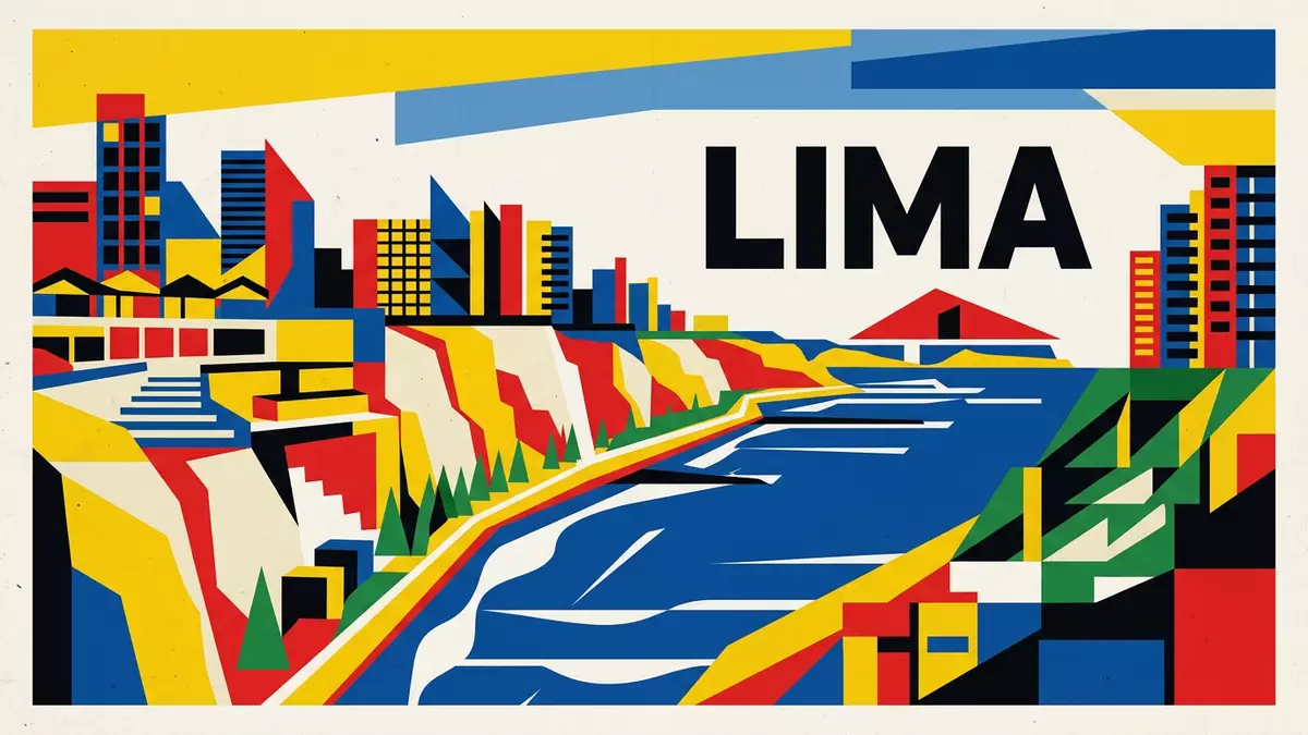
Miraflores in Lima is a coastal district where a line of cliffs, green parks and a pre-Columbian pyramid stand together above the Pacific Ocean. It is part of Lima’s urban fabric and formally recognised as a district in the nineteenth century, giving this stretch of coast both deep historical roots and a defined civic identity.
Clifftop parks and the Pacific edge
The most immediate impression of Miraflores is its relationship with the ocean, shaped by cliffs that rise above the shoreline and frame the western edge of Lima. Along the top of these cliffs, Miraflores has laid out linked parks and walkways known collectively as the Malecón de Miraflores, a continuous seafront route where lawns, flowerbeds and paved paths follow the edge of the bluff.The Malecón de Miraflores runs along the cliff line and connects viewpoints that look out across the Pacific and down towards the coastal road and beaches on the Costa Verde.
Several named parks sit along this clifftop sequence and give Miraflores distinct patches of green facing the sea. The boardwalk and parks are described as stretching for several kilometres, with sections such as Parque del Amor and other gardens forming a ribbon of open space where trees and planting border the paths.Descriptions of the Miraflores boardwalk emphasise its length and the way it threads parks together above the water, turning the cliff edge into a continuous public landscape rather than a series of isolated viewpoints.
From pre-Hispanic settlement to nineteenth-century district
Long before Miraflores acquired apartment blocks and modern streets, the area formed part of a coastal territory occupied by pre-Hispanic societies on the central Peruvian coast.Huaca Pucllana, a large adobe and clay complex in the middle of Miraflores, is the clearest sign of that early settlement and is dated mainly to the first millennium AD. Archaeological work links Huaca Pucllana to the Lima culture, a pre-Inca society active on the central coast between about 200 and 700 AD, and later to the Wari and Ychsma cultures that reused the site for burials and offerings.Official descriptions of the Huaca Pucllana complex emphasise its role as a ceremonial centre in this sequence of cultures.
Under Spanish colonial rule the land that became Miraflores remained largely rural before evolving into a separate town associated with estates and coastal retreats. The formal status of Miraflores as a district dates to Ramón Castilla’s presidency in the nineteenth century, when municipalities were created and Miraflores was separated from the wider Magdalena area.Accounts of Miraflores becoming a district in 1856 link this step to Castilla’s government. Historical sources also note that the district’s name draws on the Cartuja de Miraflores and was originally used in the form San Miguel de Miraflores before settling into the shorter name used today.Descriptions of the district’s naming tie that religious connection to its early municipal history.
Urban life between parks and Huaca Pucllana
Within this coastal setting Miraflores functions as a dense urban district, with streets, plazas and residential blocks built around both green spaces and the archaeological site. Parque Kennedy, near the centre of the district, forms a major plaza that serves as a focus for everyday activity, framed by streets that carry traffic, shops and cafés.Parque Kennedy is described as a social centre in Miraflores, showing how public space and urban life meet away from the cliffs.
Huaca Pucllana itself occupies a substantial area within this urban grid, rising as a stepped adobe structure amid surrounding low-rise and mid-rise buildings.The Huaca Pucllana site museum presents the complex as a ceremonial centre of the Lima culture built between about 450 and 650 AD, later reused by Wari and Ychsma groups. Standing near its walls, the contrast between the hand-made adobe bricks and the concrete and glass of the surrounding streets makes the depth of Miraflores’s history visible in a single view.
Visiting Miraflores: what travellers from Western Europe should know
- Miraflores lies on the Pacific-facing side of Lima, on cliffs above the Costa Verde shoreline, and is reached along urban roads from other parts of the capital.
- The clifftop parks and the Malecón involve walking on paved paths with sections of gentle gradients and occasional stairways linking different levels between street and park.
- Huaca Pucllana stands within the street grid of Miraflores, with its adobe structures rising above a surrounding area of residential and commercial buildings.
- The official language is Spanish and the currency is the Peruvian sol.
- Entry requirements depend on your nationality; UK travellers can check the FCDO travel advice at gov.uk/foreign-travel-advice, Irish travellers the Department of Foreign Affairs at ireland.ie.
Searching for Miraflores on social platforms
These links open searches for Miraflores on each platform.
Frequently asked questions about Miraflores
Where is Miraflores located within Lima?
Miraflores is a district on the western side of Lima, set on cliffs above the Pacific Ocean and the coastal road known as the Costa Verde.
What can visitors expect when walking through Miraflores?
Visitors encounter clifftop parks along the Malecón, urban streets and plazas such as Parque Kennedy, and the adobe structures of Huaca Pucllana within the built-up district.
What makes Miraflores distinctive among Lima’s districts?
Miraflores is distinctive for combining coastal cliffs and linked parks with a major pre-Columbian pyramid, all within a nineteenth-century district that forms part of Peru’s capital.


