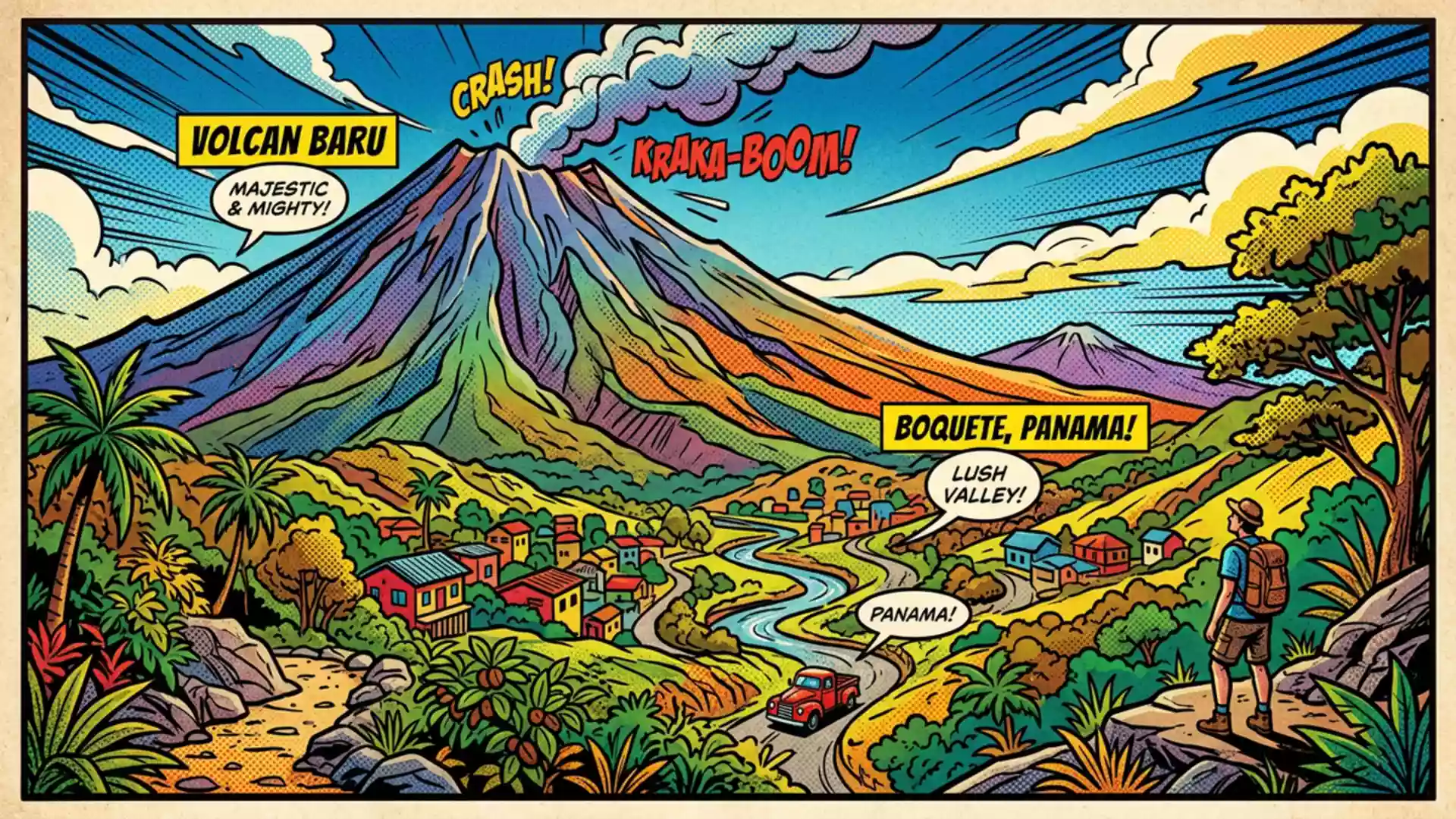
MiAmbiente closes Los Quetzales trail at Volcán Barú on 19 November
Published on 11/21/2026 at 11:11 | Editorial responsibility: Rafael Müller, Editor-in-Chief AD HOC NEWSTrail closure and mountain setting
- MiAmbiente began a temporary closure of Los Quetzales at Volcán Barú on 19 November 2026.
- The Los Quetzales restriction affects one trail, while access to the wider park remains available under current safety measures.
- The mountain reaches 3,475 m and the national park was established in 1976.
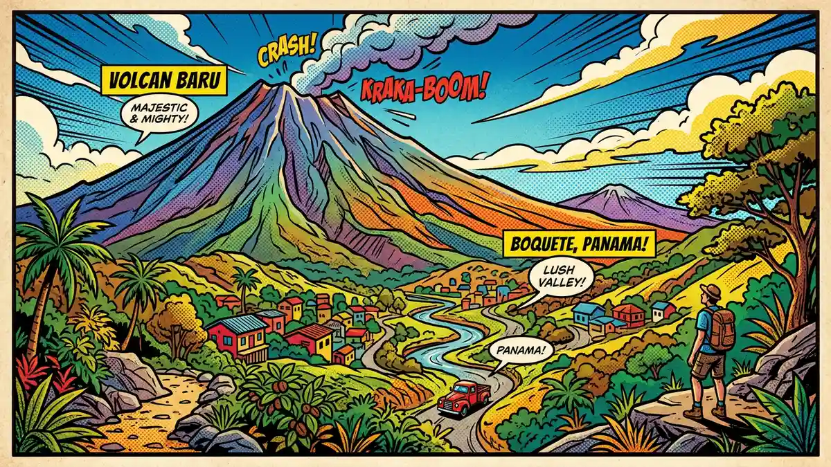
At Volcán Barú, MiAmbiente began a temporary closure of the Los Quetzales trail on 19 November 2026 after heavy rain damaged access routes and sections of the path. The restriction concerns the national park above Boquete, Panama, while the wider park remains open under the authority's current safety arrangements.
Los Quetzales closure follows rain damage
The Ministry of Environment said the trail was closed from both entrances because swollen waterways, eroded sections, fallen branches, vegetation and loose stones made access unsafe. The notice also referred to damage on the route from Alto Chiquero in Boquete, where a stream crossing had been washed away.
The closure is temporary and will remain in place until weather conditions improve and cleaning and repair work can be carried out. MiAmbiente said visitors must follow instructions from park staff, while the broader park access remains subject to any further measure ordered by Panama's National Civil Protection System.
The announcement gives the Los Quetzales restriction a direct effect on travel plans for the coming weeks. A visitor planning a crossing between the Boquete side and the higher communities should therefore treat this route as unavailable unless the environment ministry publishes a reopening notice. The temporary closure announcement identifies the trail and the safety reason in the same notice.
Volcán Barú park setting shapes the restriction
The mountain is the highest point in Panama at 3,475 metres (11,401 ft), according to MiAmbiente. The surrounding national park was established through Executive Decree No. 40 on 24 June 1976 and protects montane forest, cloud forest and high-altitude ecosystems.
That setting explains why weather can alter access beyond the summit itself. The Los Quetzales route passes through terrain where rain affects streams, slopes and vegetation, while the park also includes the Camiseta route used for access from Boquete. MiAmbiente's current notice concerns Los Quetzales, not an announced closure of every route in the park.
The mountain's position gives the park a geographical link between Boquete and the Tierras Altas communities, including Volcán and Cerro Punta. A previous reopening notice described access to the summit through the Camiseta route after debris clearance and a risk assessment, and stressed that conditions would continue to be monitored. Those conditions remain relevant to any visit, as the Camiseta route reopening report records.
Rain turns a forest crossing into a live access issue
For Western European travellers, the practical distinction is between the named trail closure and the wider protected area. The current notice does not describe the national park as closed in its entirety, but conditions can change quickly in the highlands. A planned visit should therefore keep the route flexible and check MiAmbiente's latest instructions before setting out.
The restriction also changes the character of a visit to the park. Los Quetzales is associated with cloud-forest scenery and a route between the Boquete side and the Tierras Altas area; its closure removes that crossing from the available options, while other access points remain governed by local safety instructions.
Visiting Volcán Barú: what travellers from Western Europe should know
- The Los Quetzales trail closure began on 19 November 2026 and applies to access from both entrances.
- The wider national park remains open according to the notice, but visitors must follow park staff and any new MiAmbiente or civil protection instructions.
- The park lies above Boquete in western Panama, with the Camiseta route providing a recognised approach from the Boquete side.
- Entry requirements depend on your nationality; UK travellers can check the FCDO travel advice at gov.uk/foreign-travel-advice, Irish travellers the Department of Foreign Affairs at ireland.ie.
Searching for Volcán Barú on social platforms
These links open searches for Volcán Barú on each platform.
Frequently asked questions about Volcán Barú
When does the Los Quetzales closure begin at Volcán Barú?
MiAmbiente began the temporary closure on 19 November 2026 because rain damaged access routes and sections of the trail.
Where is Volcán Barú and how do you get there?
The national park is in western Panama, with access from Boquete and the Tierras Altas communities. The Camiseta route is an established approach from the Boquete side.
What is Volcán Barú?
It is Panama's highest mountain, reaching 3,475 metres (11,401 ft), inside a national park established in 1976.