
Mgahinga Gorilla National Park and its volcano skyline
Published on 08/21/2026 at 20:48 | Editorial responsibility: Rafael Müller, Editor-in-Chief AD HOC NEWS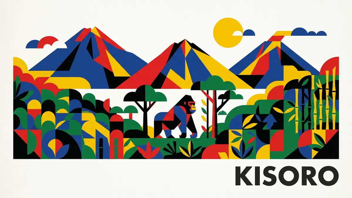
Mgahinga Gorilla National Park in south-western Uganda is a compact mountain park where the steep slopes of three Virunga volcanoes rise directly above the landscape of Kisoro. Established in 1991 on the Ugandan side of the Virunga Conservation Area, it protects dense montane forest and high-altitude moorland within barely more than 33 square kilometres.
Volcano peaks above a small highland park
Mgahinga Gorilla National Park lies in the extreme south-western corner of Uganda in Kisoro District, alongside the borders with Rwanda and the Democratic Republic of the Congo.Kisoro District in south-western Uganda The park occupies the Ugandan slopes of three Virunga volcanoes, with Mt Muhabura rising to 4,127 m (13,537 ft), Mt Gahinga to 3,474 m (11,398 ft) and Mt Sabyinyo to 3,645 m (11,959 ft).three Virunga volcanoes within the park
The protected area covers about 33.7 km² (13.0 sq mi), making it Uganda’s smallest national park.smallest national park in Uganda It forms part of the wider Virunga Conservation Area together with Volcanoes National Park in Rwanda and Virunga National Park in the Democratic Republic of the Congo, creating a continuous band of protected mountain terrain across three countries.Virunga Conservation Area shared by three states Within its boundaries, altitudes range from around 2,227 m (7,306 ft) near the Ntebeko park headquarters up to the summit of Mt Muhabura, so vegetation changes sharply with height.altitude between Ntebeko and Muhabura
Gorillas, golden monkeys and montane forest
The main conservation purpose of Mgahinga Gorilla National Park is the protection of the mountain gorilla, Gorilla beringei beringei, an endangered subspecies of the eastern gorilla whose remaining habitat includes the Virunga volcanoes.mountain gorilla subspecies Gorilla beringei beringei The park also shelters golden monkeys, which share the high-altitude bamboo and forest zones on these slopes.important habitat for golden monkeys Beneath the summits, the vegetation shifts from dense montane forest and bamboo stands to Hagenia woodland and high moorland, with views into neighbouring Rwanda and the Democratic Republic of the Congo from the upper ridges.forest and moorland on volcano slopes
Although compact in area, the park holds a varied fauna on its steep terrain. Conservation plans list mammals such as mountain gorillas, golden monkeys, forest buffaloes, bushbucks, duikers, giant forest hogs and smaller forest species alongside more than one hundred recorded bird species.mammals and bird species recorded in the park The Ugandan slopes of Muhabura, Gahinga and Sabyinyo allow these animals to move between altitudinal zones, while the park’s position inside the Virunga Conservation Area connects its wildlife ecologically to the larger transboundary landscape.
A park shaped by borders and trails
Mgahinga Gorilla National Park was established in 1991, after earlier protection regimes under names such as Gorilla Game Reserve and Mgahinga Forest Reserve were unified into a single national park.park establishment in 1991 It sits roughly 10 to 15 km south of Kisoro town in Bufumbira county, in Nyarusiza and Muramba sub-counties and near parishes such as Gisozi, Rukongi and Gitenderi.location south of Kisoro and local parishes To the south the park boundary follows the international frontier with Rwanda, while to the west it meets the border with the Democratic Republic of the Congo.border with Rwanda and DRC
The park is reached from Kampala by road through Kabale and Kisoro, a journey of more than 500 km through south-western Uganda.road distance via Kabale and Kisoro Kisoro itself lies at the foot of the volcanoes, with park gates such as Ntebeko reached by steep local roads climbing towards the forest.road access to Ntebeko and Muhabura gates Trails from these entrances ascend through the lower forest zones and continue onto the higher slopes, where ridgelines mark the transition from Ugandan territory to the neighbouring states. On clear days, viewpoints along the routes give wide panoramas over the volcano chain and the surrounding agricultural hills.
Visiting Mgahinga Gorilla National Park: what travellers from Western Europe should know
- Mgahinga Gorilla National Park lies in Kisoro District in the far south-west of Uganda, reached by road from Kampala via Kabale and Kisoro or from Rwanda through the Cyanika border.
- The terrain inside the park is steep and high-altitude, with trails climbing from forested lower slopes around 2,200 m (7,218 ft) to open ridges on the volcano flanks.
- Ntebeko and Muhabura gates above Kisoro mark the main access points, connected to town by narrow mountain roads that rise towards the forest edge.
- The official language is English and the currency is the Ugandan shilling.
- Entry requirements depend on your nationality; UK travellers can check the FCDO travel advice at gov.uk/foreign-travel-advice, Irish travellers the Department of Foreign Affairs at ireland.ie.
Searching for Mgahinga Gorilla National Park on social platforms
These links open searches for Mgahinga Gorilla National Park on each platform.
Frequently asked questions about Mgahinga Gorilla National Park
Where is Mgahinga Gorilla National Park located?
Mgahinga Gorilla National Park is in Kisoro District in south-western Uganda, on the borders with Rwanda and the Democratic Republic of the Congo.
What should visitors expect from the landscape?
The park consists of steep volcanic slopes, montane forest, bamboo and high-altitude moorland, rising from about 2,227 m (7,306 ft) to more than 4,000 m (13,123 ft).
What makes Mgahinga Gorilla National Park distinctive?
Its compact size, position within the Virunga Conservation Area and protection of mountain gorillas and golden monkeys on three volcanoes give the park its particular character.


