
Matterhorn and the pyramid of rock above Zermatt
Published on 09/18/2026 at 14:27 | Editorial responsibility: Rafael Müller, Editor-in-Chief AD HOC NEWS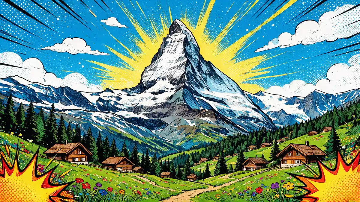
Matterhorn towers above Zermatt as a sharply defined pyramid of rock and snow on the frontier between Switzerland and Italy, a profile that has become a clear symbol of the Alps. Its summit reaches 4,478 m (14,692 ft) above sea level, placing it among the higher peaks of the Pennine Alps and fixing the mountain firmly in the geography of Valais and the Aosta Valley.frontier between Switzerland and Italy
The pyramid peak and its four faces
The defining feature of Matterhorn is its near-symmetric pyramidal summit, with four steep faces dropping towards the surrounding valleys and ridges. The mountain stands within the Pennine Alps and forms part of the extended Monte Rosa area, yet from the Zermatt side it appears as an isolated horn of rock rising above the end of the Matter Valley.near-symmetric pyramidal peak Each face aligns broadly with a cardinal direction, a geometry that helps visitors and climbers read the mountain as they move around it.faces of the Matterhorn
On the Swiss side, the north face drops towards the Zermatt Valley, while the east face overlooks the Gornergrat ridge and the glacier landscape beyond.north side faces Zermatt Valley To the south the mountain looks into the Italian town of Breuil-Cervinia, and to the west it leans over the high border crest between the two countries. This four-sided form, combined with the comparatively high prominence of the peak, means that Matterhorn remains visible from many angles as travellers move through the surrounding valleys.pyramid-shaped summit with four sharp faces
Alpine history: the 1865 first ascent
Matterhorn entered mountaineering history in the nineteenth century when a party led by the English climber Edward Whymper reached the summit in July 1865. The team climbed from Zermatt along the Swiss ridge, a line that runs up the mountain’s eastern side and later became established as the standard route for ascents from Switzerland.seven-man team led by the Briton Edward Whymper Whymper had already made several attempts on Matterhorn, and the successful climb closed one of the last major chapters of the so?called golden age of Alpine exploration.first man to climb the Matterhorn
The descent from that first ascent was marked by tragedy when four members of the party fell and died on the way down the mountain, an incident that helped establish Matterhorn’s reputation for seriousness and objective danger.deaths during the descent In the years that followed, further ascents were made from both the Swiss and Italian sides, including the first ascent by Lucy Walker in the early 1870s.first ascent by Lucy Walker Over time Matterhorn became part of a wider network of Alpine routes, yet its steep faces and changeable conditions continue to demand technical skill and careful judgement from climbers.
Ridges, routes and the view from Zermatt
The pyramid of Matterhorn is framed by four main ridges that meet at the summit, each carrying its own climbing history. On the Swiss side the Hörnli ridge runs between the north and east faces as seen from Zermatt and forms the classic line for guided ascents from the valley.Hörnli ridge Above this ridge stands the Hörnli Hut, a high mountain base where many rope teams spend the night before starting for the summit in the early hours.Hörnli Hut
Other named ridges shape the mountain’s outline when viewed from different aspects, including the Lion ridge on the Italian side and lines towards surrounding peaks such as Dent Blanche and Weisshorn.Lion Ridge and neighbouring peaks For non?climbing travellers, the main experience of Matterhorn comes from the viewpoints and terraces around Zermatt, where the mountain closes the view at the head of the valley. Railway excursions towards Gornergrat bring the summit and neighbouring glaciers into closer perspective, while paths and lifts on the surrounding slopes reveal how sharply the pyramid rises above the local skyline.height and emblematic status
Visiting Matterhorn: what travellers from Western Europe should know
- Matterhorn stands above the village of Zermatt in the Swiss canton of Valais, reached by rail from the wider Swiss network and by mountain transport towards local viewpoints.
- The terrain around the mountain includes steep hiking paths, high?altitude viewpoints and rocky ground; any ascent on the mountain itself involves exposed ridges and sustained climbing.
- On the Italian side, Breuil-Cervinia offers a further base in the Aosta Valley, looking towards the south face of Matterhorn and sharing the high border landscape with Zermatt.
- The official language in this part of Switzerland is German and the currency is the Swiss franc.
- Entry requirements depend on your nationality; UK travellers can check the FCDO travel advice at gov.uk/foreign-travel-advice, Irish travellers the Department of Foreign Affairs at ireland.ie.
Searching for Matterhorn on social platforms
These links open searches for Matterhorn on each platform.
Frequently asked questions about Matterhorn
Where is Matterhorn located?
Matterhorn is a mountain of the Pennine Alps on the border between Switzerland and Italy, rising above the Swiss village of Zermatt in the canton of Valais.
What should visitors expect when seeing Matterhorn from Zermatt?
Visitors encounter a sharply pointed pyramid of rock and snow closing the view at the end of the Matter Valley, framed by high ridges, glaciers and the built terraces of Zermatt.
What makes Matterhorn distinctive among Alpine peaks?
Its near-symmetric pyramidal summit, four cardinal-facing faces and mountaineering history since the 1865 first ascent combine to give Matterhorn a particularly recognisable presence in the Alps.


