

Matterhorn above Zermatt: a perfect Alpine pyramid
Published on 08/26/2026 at 09:49 | Editorial responsibility: Rafael Müller, Editor-in-Chief AD HOC NEWS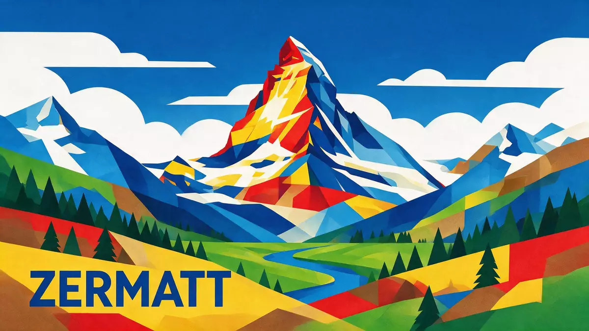
The Matterhorn is the sharply pointed Alpine mountain that rises above Zermatt in southern Switzerland, its pyramid form standing directly on the frontier with Italy. With a summit reaching 4,478 m (14,692 ft), it is one of the highest peaks in the Alps and a defining landmark of the Pennine Alps.summit is 4,478 metres The mountain’s four faces drop steeply towards neighbouring valleys, making the Matterhorn an immediately recognisable outline on countless views around Zermatt.
A pyramidal peak on the Swiss–Italian border
The Matterhorn stands on the watershed between the Swiss canton of Valais and Italy’s Aosta Valley, forming a natural border between the two countries.natural border between Switzerland and Italy It belongs to the extended Monte Rosa area of the Pennine Alps, where several summits rise above 4,000 m (13,123 ft) and glaciers occupy the high basins.Monte Rosa area of the Pennine Alps The Matterhorn itself has four main faces that align closely with the cardinal directions, with the north and east faces looking towards Zermatt and the south face dropping into the Italian side.four faces of the Matterhorn face each of the four cardinal directions
The peak’s profile is near-symmetric, rising to a sharp summit that dominates the skyline of the upper Zermatt valley.counts as one of the Alps’ highest peaks Rock walls fall steeply from the summit into rocky ridges and high plateaus, while glaciers lie below on several flanks. The mountain stands between two key viewpoints: to the north-east above Zermatt and to the south on the Italian side, each giving different angles on its pyramid form.
Climbing history and classic routes
The Matterhorn’s climbing history began with a celebrated first ascent in the nineteenth century. On 14 July 1865, a party led by the British alpinist Edward Whymper reached the summit from Zermatt via the Hörnli ridge.first ascent of the Matterhorn was in 1865 from Zermatt The group comprised Edward Whymper, Douglas R. Hadow, Charles Hudson, Francis Douglas, Michel-Auguste Croz and the Zermatt guides Peter Taugwalder senior and Peter Taugwalder junior.first climbers list During the descent, a fall on the upper ridge caused the deaths of Hadow, Hudson, Douglas and Croz, an accident that gave the mountain a lasting reputation for risk.
In the years that followed, climbers established further routes, including lines on the north face and Italian side. The Hörnli ridge between the north and east faces remains the classic route from Zermatt, with ascents typically starting from the Hörnli Hut above the valley.Hörnli ridge is the most popular route By the late nineteenth century, female alpinists were also setting milestones: Lucy Walker, another British climber, completed an ascent of the Matterhorn in the 1870s and was among the early women on major Alpine peaks.British alpinists claimed both first male and female ascents Today the mountain is known as a serious climb in a high Alpine environment, with routes that demand experience on exposed rock and mixed terrain.
Matterhorn views from Zermatt and Gornergrat
Zermatt lies in the valley north-east of the Matterhorn, its streets and river aligned towards the mountain’s north and east faces. The settlement sits in the municipality that includes the northern side of the peak, with the Matterhorn rising above surrounding forests, meadows and rock slopes.locally third-highest summit in the municipality of Zermatt From the village centre, streets and paths lead towards various viewpoints, where the mountain’s outline stands above the valley in clear weather.
One of the most established viewpoints lies on the Gornergrat ridge, reached by the Gornergrat Railway, a metre-gauge cogwheel railway climbing from Zermatt.Gornergrat Railway, a metre-gauge cogwheel railway The line dates from 1898 and rises to around 3,100 m (10,171 ft), where a terrace and buildings stand on the ridge with views towards the Matterhorn, the Gorner Glacier and numerous four-thousand-metre peaks.railway takes you up to 3,100 meters At intermediate stations such as Riffelalp and Rotenboden, paths and viewpoints offer further angles on the mountain, with the Matterhorn’s pyramid rising above glacial basins and rock ridges.
Visiting Matterhorn: what travellers from Western Europe should know
- The Matterhorn rises above the resort town of Zermatt in the Swiss canton of Valais; trains from other parts of Switzerland connect to Zermatt via Visp on the main line.
- The terrain around the Matterhorn includes steep mountain paths, rocky ridges and high viewpoints such as Gornergrat at around 3,100 m (10,171 ft), where altitude and exposure to the elements are significant.
- English, German and French are widely used in Valais; the official language on the Swiss side is German and the currency is the Swiss franc.
- Entry requirements depend on your nationality; UK travellers can check the FCDO travel advice at gov.uk/foreign-travel-advice, Irish travellers the Department of Foreign Affairs at ireland.ie.
Searching for Matterhorn on social platforms
These links open searches for Matterhorn on each platform.
Frequently asked questions about Matterhorn
Where is the Matterhorn located?
The Matterhorn stands above Zermatt in the Swiss canton of Valais, directly on the border with Italy in the Pennine Alps.
What can visitors expect when they see the Matterhorn?
Visitors see a sharply pointed, pyramidal mountain rising above valleys, glaciers and high ridges, with viewpoints such as Gornergrat giving broad panoramas of the surrounding Alps.
What makes the Matterhorn distinctive among Alpine peaks?
Its near-symmetric pyramid form, position on the Swiss–Italian border and nineteenth-century climbing history give the Matterhorn a character that is closely associated with Zermatt and high-altitude mountaineering.


