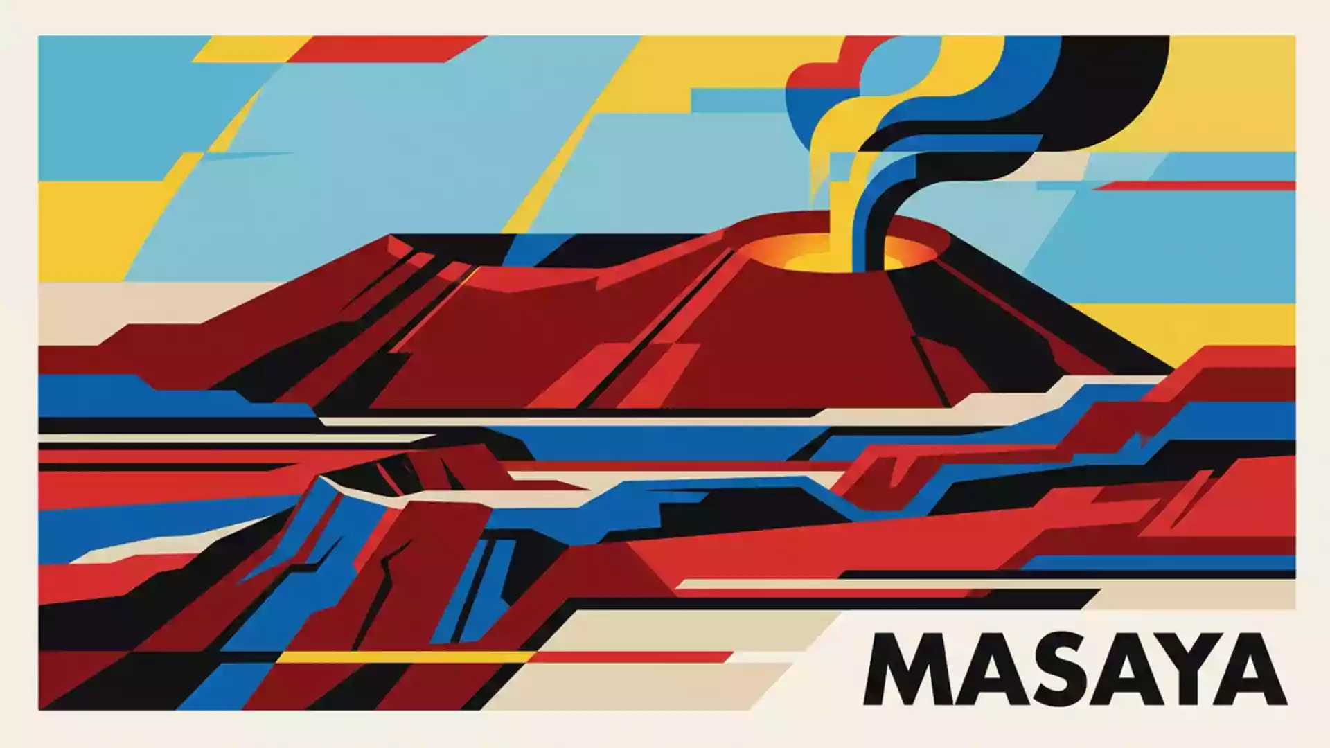
Masaya Volcano National Park hosts new magma study on 1 October
Published on 10/24/2026 at 17:18 | Editorial responsibility: Rafael Müller, Editor-in-Chief AD HOC NEWSResearch and visitor context
- Penn State published its Masaya study on 1 October 2026.
- Satellite observations from 2018 to 2024 indicated separate magma behaviour near Santiago crater.
- Nicaragua established the national park in 1979 within a 54-square-kilometre caldera.
- The site lies 23 kilometres southeast of Managua in Masaya Department.
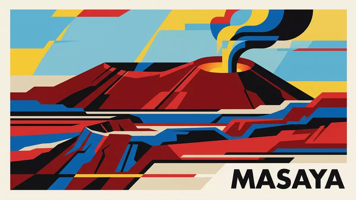
Masaya Volcano National Park (Parque Nacional Volcán Masaya) in Nicaragua is the setting for a new magma study published by Penn State on 1 October 2026. Satellite measurements indicate that two separate parts of the volcano's underground system have been behaving differently.
Two magma sources identified beneath Masaya
The Penn State research team examined six years of ground movement around the active volcano. Its findings, published in Geophysical Research Letters, point to evidence of two previously unrecognised magma sources beneath Masaya Volcano National Park.
Between 2018 and 2024, the ground within the wider caldera first moved down and later began to rise. The researchers interpret that shift as possible evidence that a deeper reservoir lost magma before receiving new magma. Around Santiago crater, however, the ground continued to sink throughout the study period, suggesting a separate and shallower reservoir.
The study used Sentinel-1 satellite observations and interferometric synthetic aperture radar, known as InSAR. The method measures very small changes in surface elevation and can monitor tropical volcanoes through cloud cover. Penn State's research announcement says that the findings may improve long-term monitoring and eruption forecasting.
Santiago crater connects research with the landscape
The study is closely tied to the part of the volcano that visitors know through its active crater and lava lake. The researchers found that the area around Santiago crater behaved independently from the wider caldera, providing the central geological contrast in the new research.
Officials did not identify an immediate danger to surrounding communities in connection with the observations. The research instead establishes a baseline for recognising future changes in the movement of magma beneath the caldera. That distinction matters at a place where scientific monitoring and public visits occupy the same volcanic landscape.
Government planning documents place the protected area in Masaya Department, about 23 kilometres southeast of Managua. The site covers a broad volcanic caldera of approximately 54 square kilometres, with the Masaya and Nindirí volcanic cones and several craters inside it. MARENA's management plan records that Nicaragua declared the area a national park in 1979.
Why the two-reservoir finding matters for Masaya
The contrast between the rising and sinking ground adds a new layer to the understanding of this volcanic complex. A deeper source may be supplying the main reservoir, while a shallower reservoir near Santiago crater may be losing magma. The research does not predict a specific eruption date.
The finding also links a modern observation technique with a long record of volcanic activity. The park's management plan describes Santiago as the active crater, while the wider caldera contains older lava flows, dry tropical forest and the crater lake known as Laguna de Masaya. These features are not separate from the research subject: they form the surface landscape above the magma system being measured.
Visiting Masaya Volcano National Park: what travellers from Western Europe should know
- The relevant news peg is the Penn State magma study published on 1 October 2026 about Masaya Volcano National Park in Nicaragua.
- The announcement concerns scientific findings rather than a special opening or closure. It reports no immediate danger from the observations and does not set new visitor arrangements.
- The park is in Masaya Department, 23 kilometres southeast of Managua. The Managua-Masaya road enters the caldera from the north, with internal roads leading towards the volcanic cones.
- The landscape includes steep volcanic slopes, craters, lava fields and gas-emitting areas. MARENA's plan records slopes ranging from 15 to 85 degrees in parts of the protected area.
- Spanish is the official language of Nicaragua, and the national currency is the córdoba.
- Entry requirements depend on your nationality; UK travellers can check the FCDO travel advice at gov.uk/foreign-travel-advice, Irish travellers the Department of Foreign Affairs at ireland.ie.
Searching for Masaya Volcano National Park on social platforms
These links open searches for Masaya Volcano National Park on each platform.
Frequently asked questions about Masaya Volcano National Park
When was the magma study at Masaya Volcano National Park published?
Penn State published the research on 1 October 2026. The study used satellite observations collected between 2018 and 2024.
What did researchers find beneath Masaya Volcano National Park?
They found evidence that a deeper magma reservoir and a shallower reservoir near Santiago crater were behaving differently. The observations did not indicate an immediate danger to surrounding communities.
Where is Masaya Volcano National Park and how do you get there?
The park is in Masaya Department, about 23 kilometres southeast of Managua. The Managua-Masaya road enters the caldera from the north, with roads continuing towards the volcanic cones.