
Loch Nis: Scotland’s long, dark Highland loch
Published on 09/19/2026 at 21:50 | Editorial responsibility: Rafael Müller, Editor-in-Chief AD HOC NEWS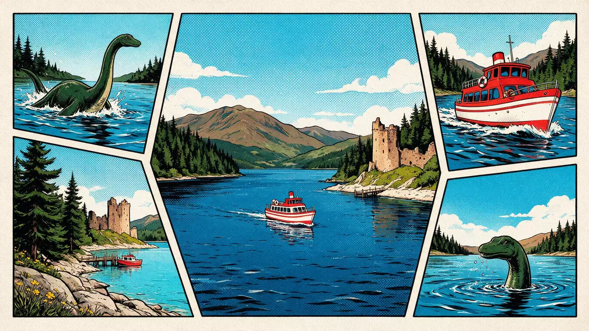
Loch Nis, better known internationally as Loch Ness, is a long, narrow freshwater loch running through the Great Glen south-west of Inverness in northern Scotland. Its dark, peat-rich waters and considerable depth give the landscape a distinctive character that has made this Highland loch one of the best-known bodies of water in the country.
A ribbon of water through the Great Glen
Loch Nis lies in the geological fault line of the Great Glen, a straight, glacially carved corridor that cuts across the Highlands between Inverness and Fort William. The loch extends for around 37 km (23 mi) from near Fort Augustus in the south-west to Lochend in the north-east, with its northern end lying south-west of Inverness, a natural link between the city and the interior of the Highlands.extends for around 37 km The water surface stands roughly 16 m (52 ft) above sea level, set in a steep-sided glen that emphasises the loch’s long, linear form.16 m above sea level
The loch connects with other Highland waters through natural rivers and the historic Caledonian Canal. At its southern end, the River Oich and a canal section link Loch Nis with Loch Oich, while to the north the Bona Narrows open towards Loch Dochfour, which in turn feeds the River Ness on its short run to the Moray Firth at Inverness.Bona Narrows open towards Loch Dochfour The A82 trunk road follows much of the northern shore, providing frequent views across the water as it runs between Inverness and Fort Augustus.A82 trunk road follows much of the northern shore
Depth, volume and the character of the water
Loch Nis is notable for its depth and the volume of fresh water it contains. Measurements give a maximum depth of over 220 m (around 720 ft), with a mean depth in the region of 130 m (about 430 ft), figures that place it among the deepest inland waters in the British Isles.maximum depth of over 220 m Combined with a surface area of more than 50 km², this depth produces an enormous volume of fresh water, greater than that held in many other lakes across Great Britain.surface area of more than 50 km²
The water in Loch Nis is famously dark. Peat in the surrounding soils leaches into the loch, reducing underwater visibility and giving the surface a sombre tint even on bright days.peat in the surrounding soils Below the upper layers, the deeper water maintains a steady, cold temperature that reflects both the loch’s depth and its Highland climate.deeper water maintains a steady temperature These physical properties combine with the long, narrow outline of the basin to create the impression of a trench-like lake running between the hills.
Myth, history and the shores of Loch Nis
Beyond its physical form, Loch Nis is woven into modern folklore through the long-running story of the “Loch Ness Monster”, a creature said to inhabit its depths. Reports and retellings have appeared since the twentieth century, turning the loch and its supposed inhabitant into a cultural reference far beyond Scotland.story of the Loch Ness Monster The Gaelic name “Loch Nis” reflects the region’s linguistic history, and many place names around the loch retain Gaelic forms alongside English usage.Gaelic name “Loch Nis”
Settlements along the shores provide access points and viewpoints. Fort Augustus lies at the south-western end near the River Oich, with locks on the Caledonian Canal, while villages such as Drumnadrochit on the western side serve as bases for exploring stretches of the shore and nearby sites.Drumnadrochit on the western side Historic Inverness, at the mouth of the River Ness, is the main urban centre for the region and a common starting point for journeys towards Loch Nis and the Great Glen.River Ness flows into the Moray Firth at Inverness
Visiting Loch Nis: what travellers from Western Europe should know
- Loch Nis lies to the south-west of Inverness in the Scottish Highlands and is reached by road along the A82, which follows much of its northern shore from the city towards Fort Augustus.
- The immediate terrain around the loch combines steep slopes, wooded sections and stretches of shore, with paths and viewpoints often involving short walks on uneven ground.
- In the wider area, Inverness provides railway and road connections with other parts of Scotland, and the shores of Loch Nis link to smaller settlements and canal structures along the Great Glen.
- The official language is English and the currency is the pound sterling.
Searching for Loch Nis on social platforms
These links open searches for Loch Nis on each platform.
Frequently asked questions about Loch Nis
Where is Loch Nis in relation to Inverness?
Loch Nis lies south-west of Inverness along the Great Glen, with its northern end only a short distance from the city and linked by the A82 road.
What can visitors expect when they reach the loch?
Visitors encounter a long, narrow Highland loch with dark, peat-coloured water, steep surrounding slopes and shore access points near villages and canal structures.
What makes Loch Nis distinctive among Scottish lochs?
Its combination of length, depth and great volume of fresh water, together with the dark colour of its peat-rich water and the long-standing folklore attached to it, distinguishes Loch Nis from many other Scottish lochs.


