
Loch Nis: a long, deep Highland loch near Inverness
Published on 09/12/2026 at 06:42 | Editorial responsibility: Rafael Müller, Editor-in-Chief AD HOC NEWS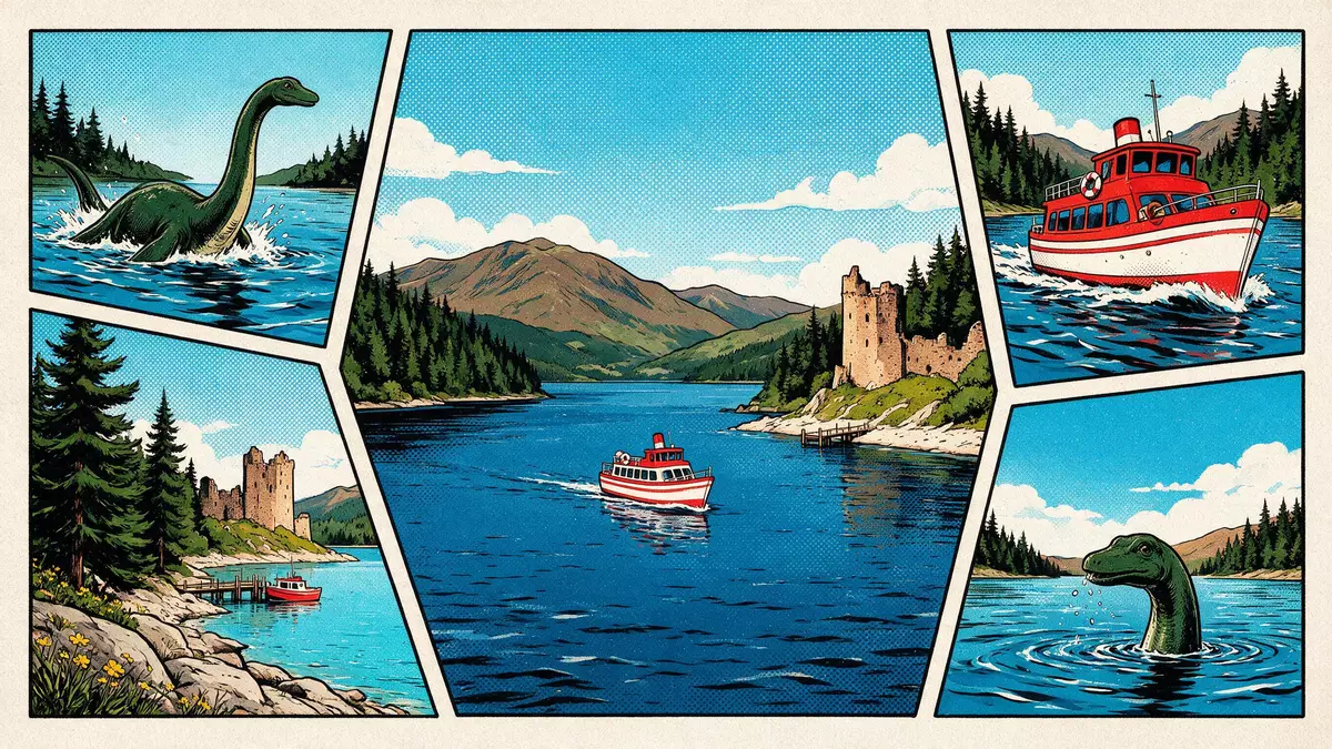
Loch Nis is the Scottish Gaelic name for Loch Ness, a long, narrow freshwater loch in the Highlands that runs southwest from Inverness along the Great Glen. It lies within the Highland council area of Scotland and forms part of a chain of natural waterways linked in the nineteenth century by the Caledonian Canal.
A long, deep ribbon of water in the Great Glen
Loch Nis occupies a straight glacial valley that cuts across northern Scotland from coast to coast. The loch lies within Glen Mor, also known as the Great Glen, a geological fissure carved and deepened by ice that now holds a sequence of lochs and connecting channels.Glen Mor or Great Glen The water of Loch Nis extends for a little over 36 km (about 23 miles) between its southwestern end near Fort Augustus and its northeastern outlet towards Inverness.
The loch is notable for its depth as well as its length. Measurements show a maximum depth in the region of 240 m (around 788 ft), with much of the basin dropping well below the surrounding land.maximum depth and length Its surface area is large enough that, combined with the depth, Loch Nis holds the greatest volume of fresh water of any single lake in Great Britain, even though other Scottish lochs cover more ground at the surface.largest volume of fresh water
Waterways, rivers and surrounding settlements
Loch Nis sits within a wider catchment of rivers and smaller lochs that drain into it and out towards the sea. Several Highland rivers, including the Oich and the Enrick, feed into the loch from its surrounding hills and glens.rivers Oich and Enrick At its northeastern end the water flows out through Loch Dochfour and the River Ness, passing through Inverness and reaching the Moray Firth on the North Sea. This chain of natural waterways was linked in 1822 when engineer Thomas Telford completed the Caledonian Canal, creating a through route across the Highlands that uses Loch Nis for part of its course.Caledonian Canal opened 1822
The northern end of Loch Nis lies to the southwest of Inverness, with the A82 road following much of its western shore and linking the city with settlements such as Drumnadrochit and Fort Augustus.location relative to Inverness Hills rise steeply above the loch, framing views of a long strip of water held between slopes of woodland and rough grazing. Along the western bank the ruins of Urquhart Castle occupy a rocky headland that projects into the loch, marking one of the most recognisable points on its shoreline.
Urquhart Castle above the water
Urquhart Castle stands on a promontory on the western shore of Loch Nis, looking across the main body of water from a headland at Urquhart Bay.castle beside Loch Ness The ruins that visitors see are largely the remains of stone fortifications built from the thirteenth century through to the sixteenth century, when the site served as a significant stronghold in the Highlands.thirteenth to sixteenth centuries Defensive walls, gatehouses and towers outline the former castle complex, with masonry running along the edge of the slope above the loch.
The castle’s position gave it a strategic role during several periods of conflict. It was involved in the Wars of Scottish Independence in the fourteenth century and later in struggles between Highland clans and in Jacobite unrest.role in Scottish conflicts Urquhart Castle was largely abandoned by the late seventeenth century and deliberately damaged in 1692 to prevent further military use, leaving the broken towers and curtain walls that now frame views back along Loch Nis towards Inverness and down the Great Glen towards Fort Augustus.abandonment and damage in 1692
Visiting Loch Nis: what travellers from Western Europe should know
- Loch Nis lies in the Scottish Highlands, with its northeastern end southwest of Inverness; the A82 road runs along the western shore and links the city to Drumnadrochit and Fort Augustus.
- The terrain around the loch rises steeply, with slopes dropping to the water and paths and viewpoints on uneven ground near Urquhart Castle and other shore locations.
- In winter, conditions around Loch Nis and the surrounding hills include low temperatures and the possibility of snow at higher levels.
- English is the official language in Scotland and the currency is the pound sterling.
Searching for Loch Nis on social platforms
These links open searches for Loch Nis on each platform.Frequently asked questions about Loch Nis
Where is Loch Nis?
Loch Nis is the Gaelic name for Loch Ness, a freshwater loch in the Scottish Highlands lying southwest of Inverness within the Great Glen.
What should visitors expect on a visit to Loch Nis?
Visitors encounter a long, deep loch set in a straight Highland valley, with steep slopes, roadside viewpoints and the ruins of Urquhart Castle on its western shore.
What makes Loch Nis distinctive among Scottish lochs?
Loch Nis combines great depth and length, giving it the largest volume of fresh water of any lake in Great Britain, and it is closely associated with the headland ruins of Urquhart Castle.


