
Li Jiang and the karst corridor through Guilin
Published on 09/17/2026 at 08:16 | Editorial responsibility: Rafael Müller, Editor-in-Chief AD HOC NEWS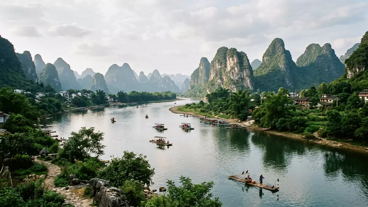
Li Jiang is the English name for the Li River, the river that runs through Guilin in Guangxi, China. Its corridor is shaped by limestone hills and steep-sided river scenery that has defined the city’s relationship with the water for centuries.
Li Jiang in Guilin’s limestone landscape
The river is part of the upper reaches of the Gui River within the Pearl River basin, and its course through Guilin is the best-known stretch for many visitors. The landscape combines water, karst towers and river bends in a single band through the city and beyond, linking Guilin with Yangshuo and Pingle.upper reaches of the Gui River
In Guilin, the river is closely tied to the city’s identity as a karst landscape rather than an urban waterfront. The setting is a natural one: limestone peaks rise from low ground, and the river cuts through them in a long, sinuous route.Lijiang River Scenic Zone
A river associated with Mao’er Mountains
The Li River rises in the Mao’er Mountains north-east of Guilin, near Xing’an County. That source country matters because it places the river within the upland limestone and mountain geography of northern Guangxi, rather than a broad lowland plain.Mao’er Mountains north of Guilin
The river then passes through Guilin, Yangshuo and Pingle before joining the wider river system downstream. The name Li Jiang remains the most direct way to identify this section of water for English-speaking readers, while the Chinese form links it to the city’s broader cultural geography.traversing Guilin City
Karst forms, river bends and long views
What defines Li Jiang in Guilin is the visible combination of water and karst. The river runs between cone and tower-like limestone forms, creating a landscape that is read as much by outline as by distance.
That relationship between rock and water is the reason the river is so closely associated with Guilin’s image. Elephant Trunk Hill, Xingshan and other named formations belong to the same landscape of cliffs, slopes and river edges that frames the city.karst peaks
Visiting Li Jiang: what travellers from Western Europe should know
- The river runs through Guilin in Guangxi, with roads, bridges and river quays linking the city to the water.
- The scenery is dominated by karst hills and a broad river corridor. Walking routes along the banks and viewpoints on higher ground shape the experience.
- The river continues south towards Yangshuo and Pingle, so a visit can be read as part of a wider river landscape rather than a single city frontage.
- The official language is Chinese and the currency is the renminbi.
Searching for Li Jiang on social platforms
These links open searches for Li Jiang on each platform.
Frequently asked questions about Li Jiang
Where is Li Jiang?
Li Jiang is the Li River in Guilin, Guangxi, China. It forms part of the upper river system of the Gui River and passes through the Guilin area.
What does a visit involve?
The main impression comes from the river corridor itself: water, limestone hills and town edges in the same frame. The banks and viewpoints provide the clearest way to read the landscape.
What makes Li Jiang distinctive?
The river is distinctive for the karst scenery around Guilin, where steep limestone forms stand close to the water. The result is a landscape defined by outline, reflection and distance.


