
Las Vegas Strip as a theatrical boulevard of the desert
Published on 08/21/2026 at 10:46 | Editorial responsibility: Rafael Müller, Editor-in-Chief AD HOC NEWS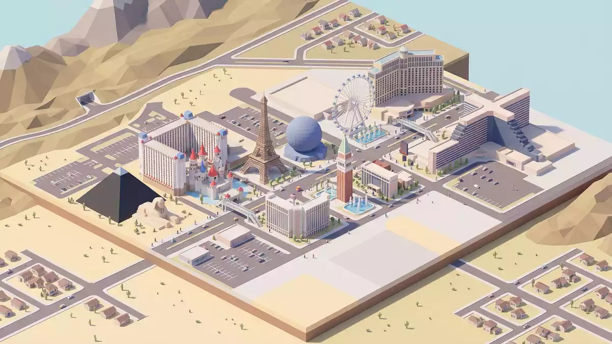
The stretch of Las Vegas Boulevard known as the Strip turns a desert highway into a continuous stage of casino resorts, neon facades and themed skylines. Running through the unincorporated communities of Paradise and Winchester in Nevada, this boulevard concentrates the hotels and entertainment venues that define the global image of Las Vegas.
A desert highway turned casino boulevard
The Las Vegas Strip occupies a section of Las Vegas Boulevard South in Clark County, Nevada, lying just outside the formal city limits of Las Vegas in the Mojave Desert.section of Las Vegas Boulevard South It extends for about 6.8 km (4.2 mi) and is lined with resort hotels, casinos and entertainment complexes that face directly onto the roadway.extends for about 6.8 km
This corridor emerged in the mid twentieth century as a separate casino district from the older downtown around Fremont Street. Nevada legalised gambling in 1931, creating the framework for highway resorts that began with properties such as El Rancho Vegas in 1941 and the Flamingo hotel-casino, which opened in 1946 under the direction of Bugsy Siegel.El Rancho Vegas in 1941 and the Flamingo hotel-casino Over subsequent decades, smaller roadside casinos gave way to larger integrated resorts that cluster along the Strip and present a dense urban frontage of towers, marquees and pedestrian walkways.larger integrated resorts that cluster along the Strip
Mega resorts and themed skylines
The character of the Las Vegas Strip rests on its concentration of large hotel-casino resorts, many of which incorporate thousands of rooms, extensive gaming floors and elaborate themed architecture. Properties such as Bellagio, Caesars Palace, The Venetian, MGM Grand and Wynn form a continuous sequence of towers and podiums along the boulevard, each with its own visual identity.Bellagio, Caesars Palace, The Venetian, MGM Grand and Wynn Many of these complexes combine hotels with theatres, convention facilities, restaurants and retail galleries, a development pattern closely associated with the rise of the “megaresort” in the 1980s and 1990s.rise of the megaresort in the 1980s and 1990s
The skyline along the Strip layers different eras of resort design, from mid twentieth-century low-rise complexes to contemporary glass towers. Themed facades reference places such as Venice and ancient Rome, while other properties use minimalist curtain walls and sculpted forms. Together they create a continuous urban frontage that runs parallel to the wide carriageways of Las Vegas Boulevard, broken by landscaped forecourts, fountains and pedestrian bridges crossing the traffic lanes.
Las Vegas Strip as an urban experience
Experiencing the Las Vegas Strip largely means moving along its main boulevard and the linked interiors of casino resorts. The public footpaths parallel to Las Vegas Boulevard South carry pedestrians past resort entrances, while a network of escalators and footbridges connects corners at major junctions.network of escalators and footbridges Inside the resorts, passageways, gaming halls and atria continue the route under cover, often with direct connections between neighbouring properties.
Along the way, visitors encounter staged features such as fountain displays, themed interiors and prominent marquees that face the boulevard. The Strip’s role as a tourist corridor is reflected in the concentration of entertainment venues, from performance theatres to arenas, within the resorts and adjacent buildings.tourist corridor is reflected in the concentration of entertainment venues At street level, the juxtaposition of traffic, illuminated signage and large-scale architecture underlines the boulevard’s character as an engineered urban spectacle rather than a conventional city high street.
Visiting Las Vegas Strip: what travellers from Western Europe should know
- Las Vegas Strip runs along Las Vegas Boulevard South in Clark County, Nevada, south of central Las Vegas and within the urban area of the city.
- The main pedestrian route follows the pavements beside the boulevard and involves frequent use of escalators and stairways to reach elevated crossings at major junctions.
- McCarran’s successor, Harry Reid International Airport, lies to the south-east of the Strip and Las Vegas Boulevard connects the resorts to the wider road network.
- The city stands in the Mojave Desert, where summer heat on the open sections of the boulevard can be intense and shade is limited between resort entrances.
- The official language is English and the currency is the United States dollar.
Searching for Las Vegas Strip on social platforms
These links open searches for Las Vegas Strip on each platform.
Frequently asked questions about Las Vegas Strip
Where is Las Vegas Strip located?
Las Vegas Strip occupies a section of Las Vegas Boulevard South in Clark County, Nevada, running through the unincorporated communities of Paradise and Winchester just outside central Las Vegas.
What should visitors expect on a first walk along the Strip?
A first walk along the Strip means moving between large resort entrances, illuminated facades and elevated crossings, with casino interiors and entertainment venues directly connected to the boulevard.
What makes Las Vegas Strip distinctive among urban boulevards?
The Strip is distinctive for concentrating casino resorts, themed architecture and entertainment venues along a single 6.8 km (4.2 mi) stretch of highway, transforming a desert road into a continuous entertainment corridor.


